Photo: Wikipedia
Strategic Assessment of White Pine County
Strong survivability profile. Good buffer from population centers, with manageable environmental and tactical risks.
What does the Strategic Assessment tell us?
Our Strategic Assessment grades tactical survivability of an area. Major population centers, military targets, fallout zones, natural disasters, and border exposure all drive risk — lower exposure means a more defensible position in a crisis.
This is heavily inspired by Joel Skousen's Strategic Relocation book. Highly recommended you checkout the book ($)What does this tell us?
Our Strategic Assessment grades tactical survivability of an area. Major population centers, military targets, fallout zones, natural disasters, and border exposure all drive risk — lower exposure means a more defensible position in a crisis.
This is heavily inspired by Joel Skousen's Strategic Relocation book. Highly recommended you checkout the book ($)Strategic Pillars

Key Distances
Strategic Assessment Analysis
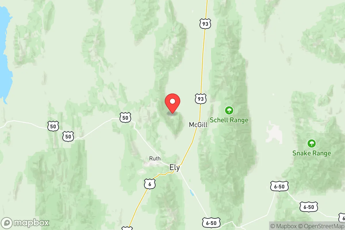
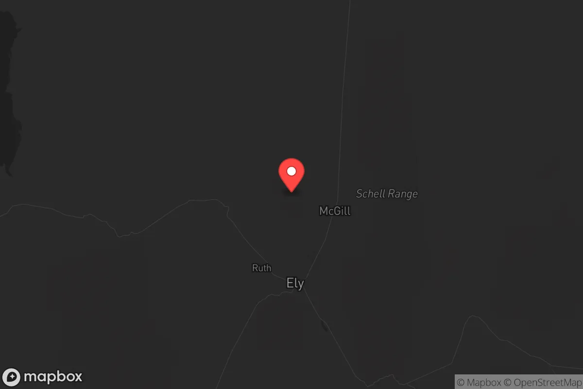
White Pine County, Nevada, offers a strategic relocation option for those prioritizing resilience and distance from major population centers, with its county seat of Ely sitting roughly 250 miles from both Salt Lake City and Las Vegas. This isolation is a double-edged sword—it provides a buffer against the cascading effects of urban unrest or infrastructure collapse, but it also demands a high degree of self-sufficiency. The county’s location along U.S. Route 50, famously dubbed "The Loneliest Road in America," underscores its low population density (roughly 9,000 residents across 8,900 square miles) and limited through-traffic, which can be a tactical advantage for those seeking to avoid chokepoints or refugee flows during a crisis.
Geographic position and natural advantages for long-term survival
White Pine County sits in eastern Nevada, bordered by Utah to the east, and its geography is defined by the Snake Range and the Great Basin Desert. The area’s primary natural advantage is water access: the county contains the headwaters of the Humboldt River and several spring-fed creeks, including those near the town of McGill and the Cherry Creek area. Unlike much of the arid Southwest, these perennial water sources provide a reliable baseline for subsistence farming and livestock, though annual precipitation is only 10-12 inches. The surrounding Humboldt-Toiyabe National Forest offers timber for construction and fuel, as well as game like mule deer and elk. Elevations range from 5,000 to 13,000 feet, meaning cooler summers than the Mojave Desert but harsh winters with heavy snow at higher passes—a natural barrier that slows access during winter months. The Ward Charcoal Ovens State Historic Park area, just south of Ely, exemplifies the kind of remote, defensible terrain with natural cover that preppers value.
Risks, exposures, and proximity to fallout-relevant landmarks
The most significant risk for White Pine County is its proximity to Nellis Air Force Base and the Nevada Test and Training Range, which lie roughly 150 miles southwest. While not a direct fallout zone for a conventional attack on Nellis (which is a primary target), prevailing winds from the southwest could carry radioactive debris toward the county in a nuclear exchange scenario. The county also sits within 200 miles of the Tooele Chemical Depot in Utah, a known chemical weapons storage site that could be a secondary target. On the plus side, there are no major refineries, ports, or nuclear power plants within 300 miles—the nearest major industrial corridor is the Wasatch Front (Salt Lake City-Provo) to the northeast. The Great Basin National Park, just east of Ely, offers rugged terrain but also attracts tourists, which could become a liability if urban evacuees flood the area. The county’s low population density means fewer targets, but its position along a major east-west highway (U.S. 50) makes it a potential transit corridor for displaced populations from Las Vegas or Reno.
Practical resilience for a relocator: food, water, energy, and defensibility
For a relocator, White Pine County’s practical resilience hinges on three factors: water, energy, and community. Water is the strongest asset—the Steptoe Valley aquifer and surface flows from the Snake Range provide year-round water for those who secure land with riparian rights. However, most residential lots in Ely and surrounding areas rely on municipal wells or private drilling, which can cost $10,000-$20,000 for a deep well (200-400 feet). Food production is limited by a short growing season (90-120 frost-free days) and alkaline soils, but cold-hardy crops like potatoes, carrots, and kale can thrive with irrigation. Livestock, particularly sheep and cattle, are already common in the county—the Ely Livestock Auction is a regional hub. Energy is a mixed bag: the county has abundant solar potential (over 300 sunny days per year) and wind corridors in the valleys, but grid power is supplied by NV Energy with limited redundancy. Off-grid solar setups are feasible, but battery storage is critical for winter months when solar generation drops. Defensibility is excellent due to the terrain—the Schell Creek Range and Egan Range create natural chokepoints, and the county’s sparse road network (only two paved highways, U.S. 50 and U.S. 93) makes it easy to monitor access points. The local population is predominantly conservative, with a strong ranching and mining culture (the Robinson Mine copper operation is a major employer), which fosters a mutual-aid mindset but also a wariness of outsiders.
The overall strategic picture for White Pine County is one of trade-offs. It offers genuine isolation, reliable water, and defensible terrain that few other locations in the Intermountain West can match. The lack of major targets within 200 miles reduces the risk of direct fallout, though the county’s position downwind of Nellis and the Utah chemical depot is a real concern. For a relocator willing to invest in deep wells, cold-weather gear, and off-grid energy, this area provides a viable long-term retreat with a like-minded community. The key weakness is economic fragility—the county’s economy is tied to mining and government land management, which could collapse in a prolonged crisis. But for those prioritizing distance from the chaos of coastal cities and the ability to control their own perimeter, White Pine County is one of the few places in the lower 48 where you can still buy a house on 40 acres for under $200,000 and have a realistic shot at self-sufficiency. Just don’t expect to be able to grow avocados or find a Starbucks—that’s the point.
* Values derived from national, state, county, city and local statistics and may differ in a specific area. Last updated: 2026-05-12T11:01:32.000Z
Narrative content on this page is AI-generated and may contain mistakes. Verify any details that matter before acting on them.
ReloMaps may earn a commission from affiliate links at no extra cost to you.