Photo: Wikipedia
Strategic Assessment of Nye County
Workable tactical position. Some exposure to population density or targets, but generally defensible in a crisis.
What does the Strategic Assessment tell us?
Our Strategic Assessment grades tactical survivability of an area. Major population centers, military targets, fallout zones, natural disasters, and border exposure all drive risk — lower exposure means a more defensible position in a crisis.
This is heavily inspired by Joel Skousen's Strategic Relocation book. Highly recommended you checkout the book ($)What does this tell us?
Our Strategic Assessment grades tactical survivability of an area. Major population centers, military targets, fallout zones, natural disasters, and border exposure all drive risk — lower exposure means a more defensible position in a crisis.
This is heavily inspired by Joel Skousen's Strategic Relocation book. Highly recommended you checkout the book ($)Strategic Pillars

Key Distances
Strategic Assessment Analysis
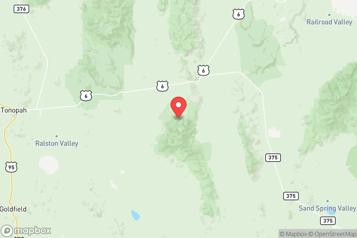
Nye County, Nevada, offers a strategic relocation option for those prioritizing resilience and self-sufficiency, anchored by its remote geography and low population density. The county’s vast, arid landscape—spanning over 18,000 square miles—places it far from major metropolitan targets, while its position along U.S. Route 6 and U.S. Route 95 provides critical north-south and east-west corridors for supply movement or evacuation. For a reader weighing disaster readiness, Nye County’s combination of isolation, limited infrastructure exposure, and access to federal lands makes it a defensible base of operations, though not without its own trade-offs.
Geographic position and natural advantages for long-term security
Nye County’s primary strategic asset is its sheer distance from high-value targets. The county seat, Tonopah, sits roughly 200 miles northwest of Las Vegas and 170 miles east of Reno, placing it well outside the blast radius or fallout plume of any plausible nuclear strike on those cities. The county’s interior—including the towns of Round Mountain, Manhattan, and Amargosa Valley—is surrounded by the Toiyabe and Toquima mountain ranges, offering natural barriers that complicate ground access and provide defensible terrain. The region’s high desert climate (average elevation 6,000+ feet) means minimal flood risk, low humidity that preserves stored goods, and a growing season that, while short, supports hardy crops like potatoes and alfalfa. The presence of the Nevada Test and Training Range and Tonopah Test Range to the southeast creates a buffer zone of restricted airspace and military-controlled land, further insulating the county from unauthorized overflight or ground incursion. For a relocator, this geography translates into a low-probability zone for direct kinetic or radiological events.
Risks, exposures, and proximity to fallout-relevant landmarks
While Nye County is remote, it is not risk-free. The county’s most significant exposure is its proximity to the Nevada National Security Site (NNSS), formerly the Nevada Test Site, located about 65 miles southeast of Tonopah. The NNSS remains an active facility for subcritical nuclear experiments and hazardous material storage; a catastrophic accident or deliberate attack there could generate localized fallout, though prevailing winds typically carry contamination east toward Utah. Additionally, the county hosts the Yucca Mountain repository site (currently not operational but federally owned), which stores high-level nuclear waste in surface facilities. A major seismic event—Nye County sits near the Walker Lane fault zone—could theoretically breach these storage casks, though the risk is low and monitored. On the man-made side, the county’s sparse population means few industrial targets: the Round Mountain Gold Mine (operated by Kinross) and the Smoky Valley Common Operation are the largest, but they are not high-value military targets. The primary risk for a relocator is not a direct strike but the potential for cascading failures—loss of grid power, supply chain disruption, or an influx of refugees from Las Vegas or Reno if those cities are compromised. The county’s limited road network (chiefly U.S. 95 and State Route 376) could become choked under such a scenario.
Practical resilience for a relocator: food, water, energy, and defensibility
Self-sufficiency in Nye County requires upfront planning. Water is the most critical constraint: the county averages less than 7 inches of annual precipitation, and groundwater is deep and often mineralized. The Amargosa River Basin near Beatty offers some shallow alluvial aquifers, but most rural properties rely on wells drilled 300–500 feet deep, with yields varying by location. Rainwater catchment is feasible but requires large cisterns (1,000+ gallons) to bridge dry spells. Food production is limited by the short growing season and alkaline soils; greenhouses or hydroponics are necessary for year-round vegetables. The county has a small agricultural base—hay, cattle, and some alfalfa—but most food is trucked in from Reno or Las Vegas, making a 3–6 month pantry stockpile advisable. Energy is a relative strength: abundant solar insolation (over 300 sunny days per year) makes photovoltaic systems highly effective, and wind resources are moderate in the higher elevations. The county’s electric grid is served by NV Energy, but rural areas experience frequent outages from winter storms or equipment failure, so off-grid solar-plus-battery setups are common among preppers. Defensibility is excellent: the low population density (about 1 person per square mile) means few neighbors, and the mountainous terrain provides natural chokepoints. However, the county’s vast open spaces also mean that a determined group could approach undetected; a perimeter security plan (sensors, cameras, or livestock as early warning) is wise. The nearest major medical facility is Nye Regional Medical Center in Tonopah, a 25-bed critical access hospital—adequate for routine care but not for trauma or mass casualties.
Overall, Nye County presents a compelling strategic picture for the resilience-minded relocator: extreme isolation from major targets, defensible terrain, and strong renewable energy potential, offset by significant water scarcity and logistical fragility. It is not a location for those seeking convenience or immediate access to urban amenities, but for a family or individual willing to invest in deep-well drilling, solar infrastructure, and food storage, it offers one of the lowest-risk environments in the continental U.S. for weathering a major national disruption. The key is to treat the county as a base for long-term self-reliance, not a bug-out location—its remoteness is both its shield and its challenge.
* Values derived from national, state, county, city and local statistics and may differ in a specific area. Last updated: 2026-06-12T18:23:59.000Z
Narrative content on this page is AI-generated and may contain mistakes. Verify any details that matter before acting on them.
ReloMaps may earn a commission from affiliate links at no extra cost to you.