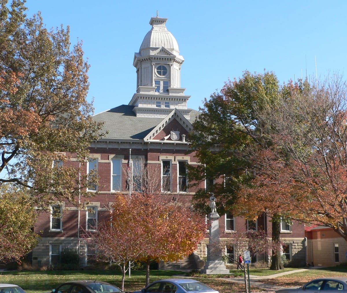
Photo: Wikipedia
Strategic Assessment of Washington County
Workable tactical position. Some exposure to population density or targets, but generally defensible in a crisis.
What does the Strategic Assessment tell us?
Our Strategic Assessment grades tactical survivability of an area. Major population centers, military targets, fallout zones, natural disasters, and border exposure all drive risk — lower exposure means a more defensible position in a crisis.
This is heavily inspired by Joel Skousen's Strategic Relocation book. Highly recommended you checkout the book ($)What does this tell us?
Our Strategic Assessment grades tactical survivability of an area. Major population centers, military targets, fallout zones, natural disasters, and border exposure all drive risk — lower exposure means a more defensible position in a crisis.
This is heavily inspired by Joel Skousen's Strategic Relocation book. Highly recommended you checkout the book ($)Strategic Pillars

Key Distances
Strategic Assessment Analysis
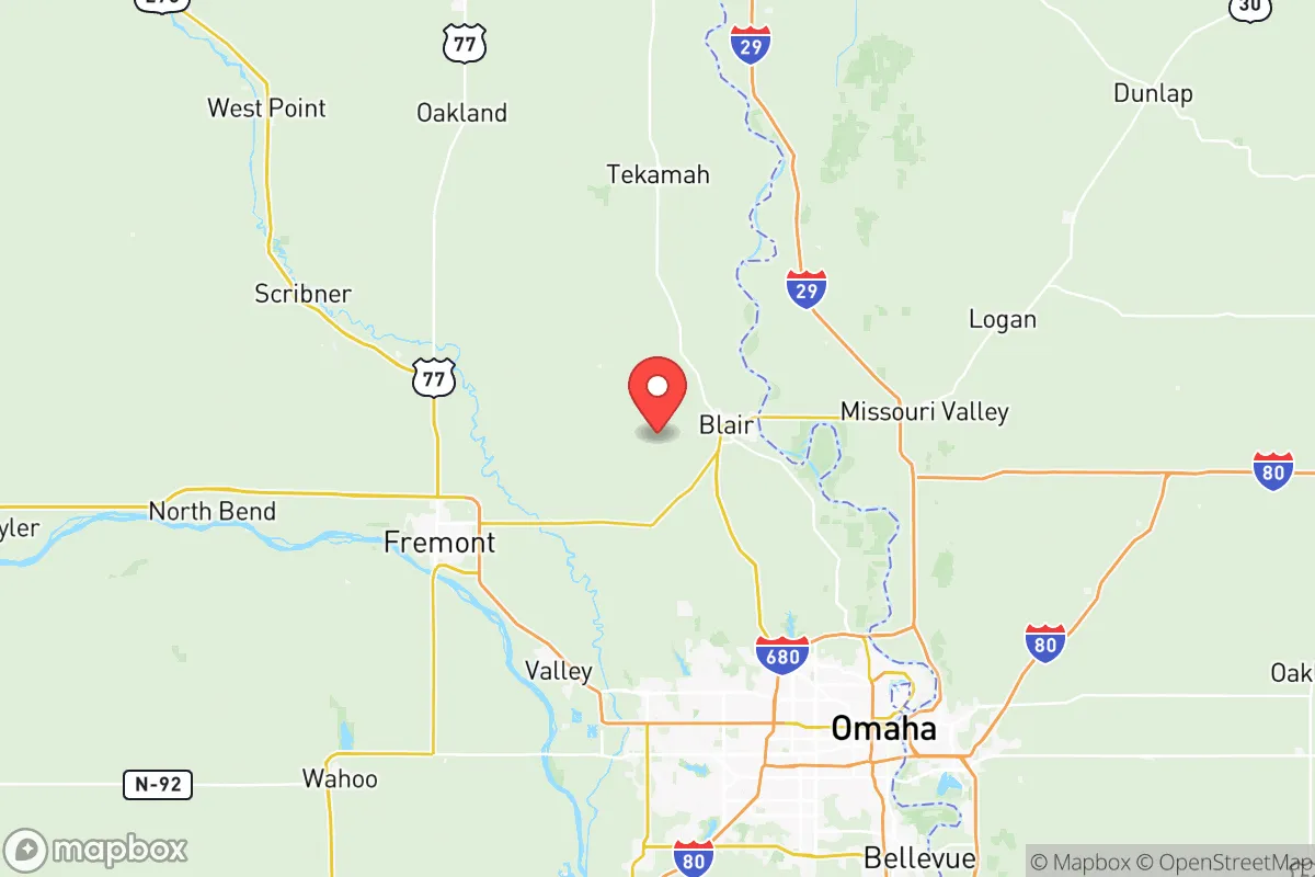
Washington County, Nebraska, offers a compelling strategic profile for relocation-minded individuals and families who prioritize resilience, self-sufficiency, and a buffer from major metropolitan vulnerabilities. Situated roughly 25 miles north of Omaha and 40 miles northwest of Council Bluffs, the county provides a rural stronghold with access to urban resources, but without the density, traffic, or target profile of a major city. Its position along the Missouri River and its agricultural backbone make it a location worth serious consideration for those thinking in terms of decades, not just the next housing market cycle.
Geographic position and natural advantages for long-term stability
Washington County sits in the rolling Loess Hills region, a landscape that offers natural drainage, defensible terrain, and some of the most fertile soil in the state. The county seat, Blair, is the largest population center at roughly 8,000 residents, followed by smaller communities like Fort Calhoun, Arlington, and Herman. This low-density distribution—about 50 people per square mile—means that a single disruption is unlikely to affect the entire county simultaneously. The proximity to the Missouri River provides a reliable surface water source, while the underlying Dakota Aquifer supplies groundwater for wells across much of the area. For a relocator prioritizing water security, this is a significant advantage over counties further west that depend entirely on the Ogallala Aquifer or seasonal rainfall. The county also sits outside the primary tornado alley corridor, though severe weather is still a seasonal reality. The Loess Hills themselves offer microclimate benefits, including slightly cooler summer temperatures and reduced wind exposure in sheltered valleys, which can aid both agriculture and structural resilience.
Risks, exposures, and proximity to fallout-relevant landmarks
No strategic assessment is complete without an honest accounting of risks, and Washington County has several that a serious relocator must weigh. The most immediate is the Fort Calhoun Nuclear Station, a decommissioned nuclear power plant located directly on the Missouri River near the town of Fort Calhoun. While the plant is permanently shut down and spent fuel is stored on-site in dry casks, the presence of that material is a long-term liability. A catastrophic event—whether natural or man-made—at this facility could render large portions of the county uninhabitable for generations. The county is also within the 50-mile plume exposure pathway of the Cooper Nuclear Station in Brownville, Nebraska, roughly 60 miles south. Additionally, Offutt Air Force Base near Bellevue, Nebraska, is a high-value strategic target located just 30 miles south of Blair. Offutt houses the U.S. Strategic Command (STRATCOM), making it one of the most likely nuclear targets in the continental United States. A strike on Offutt would produce fallout that could reach Washington County within hours under prevailing southerly winds. The county also lies within the broader risk zone of the Omaha-Council Bluffs metropolitan area, a regional economic and transportation hub that could become a secondary target or experience significant civil disruption. Flooding along the Missouri River is a recurring natural hazard; the 2011 and 2019 floods caused extensive damage to farmland and low-lying properties, particularly near Blair and Fort Calhoun. For a relocator, the key takeaway is that Washington County offers a buffer from direct urban blast zones but is not remote enough to escape fallout or secondary effects from nearby strategic infrastructure.
Practical resilience for a relocator: food, water, energy, and defensibility
For those serious about self-sufficiency, Washington County delivers on the fundamentals. Food production is the county's strongest asset: it is one of Nebraska's top corn and soybean producers, with extensive livestock operations and a growing number of small-scale vegetable farms and CSAs. The Blair Farmers Market and local producers in Arlington and Fort Calhoun provide direct-to-consumer access to fresh meat, eggs, and produce. A relocator with even a few acres can achieve significant food independence here, with a growing season of roughly 150 days. Water security is excellent for those who drill a private well; the Dakota Aquifer is productive and generally clean, though testing for agricultural runoff is advisable. Municipal water in Blair comes from the Missouri River and is treated, but a well with a hand pump or solar-powered backup provides true independence. Energy resilience is mixed. The county is served by the Nebraska Public Power District, which draws from a mix of coal, natural gas, and nuclear sources. Grid reliability is average for rural Nebraska, meaning outages during severe weather can last 12-48 hours. Solar is viable, with roughly 200 sunny days per year, and there are no significant zoning restrictions on residential solar or small wind turbines in unincorporated areas. Backup propane or diesel generation is common among rural residents. Defensibility is a function of the county's layout. The Loess Hills provide natural chokepoints and observation points, and the low population density means that a well-prepared family on a rural property can maintain operational security more easily than in a suburban subdivision. The county has a capable sheriff's office and a network of volunteer fire departments, but response times in the far western or northern reaches can exceed 20 minutes. For a relocator, the ideal setup is a property with a well, solar or generator backup, at least 5-10 acres for food production, and a location on high ground away from the Missouri River floodplain.
Overall, Washington County presents a balanced strategic picture for the resilience-minded relocator. It offers genuine advantages in water availability, agricultural potential, and low population density, while sitting close enough to Omaha for specialized medical care, supply runs, and employment. The trade-offs are real: proximity to nuclear infrastructure and a high-value military target means that a major conflict or catastrophic accident would put the county at risk. For a family or individual who is willing to invest in on-site water, energy, and food systems, and who understands the risk profile of the broader region, Washington County is one of the more viable options in the eastern Great Plains. It is not a bug-out location for a total collapse scenario, but it is a solid, defensible home base for those who want to live rurally while staying connected to the regional economy.

* Values derived from national, state, county, city and local statistics and may differ in a specific area. Last updated: 2026-08-04T13:31:33.000Z
Narrative content on this page is AI-generated and may contain mistakes. Verify any details that matter before acting on them.
ReloMaps may earn a commission from affiliate links at no extra cost to you.

