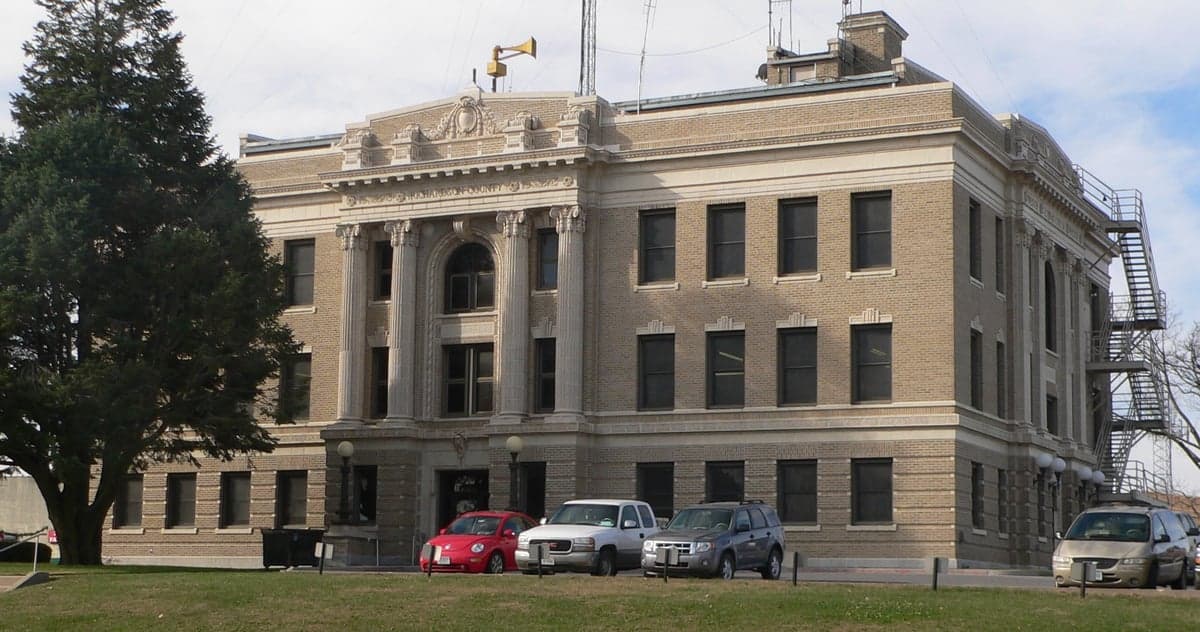
Photo: Wikipedia
Strategic Assessment of Richardson County
Strong survivability profile. Good buffer from population centers, with manageable environmental and tactical risks.
What does the Strategic Assessment tell us?
Our Strategic Assessment grades tactical survivability of an area. Major population centers, military targets, fallout zones, natural disasters, and border exposure all drive risk — lower exposure means a more defensible position in a crisis.
This is heavily inspired by Joel Skousen's Strategic Relocation book. Highly recommended you checkout the book ($)What does this tell us?
Our Strategic Assessment grades tactical survivability of an area. Major population centers, military targets, fallout zones, natural disasters, and border exposure all drive risk — lower exposure means a more defensible position in a crisis.
This is heavily inspired by Joel Skousen's Strategic Relocation book. Highly recommended you checkout the book ($)Strategic Pillars

Key Distances
Strategic Assessment Analysis
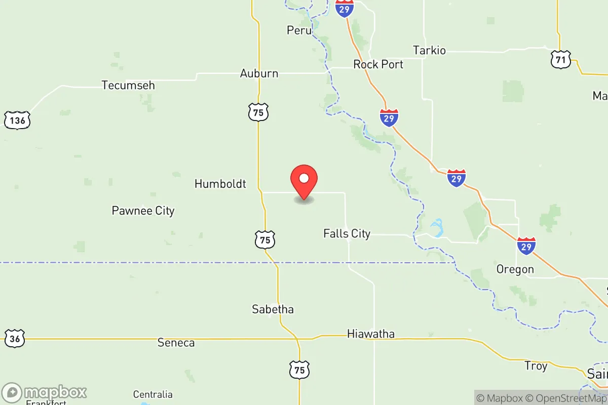
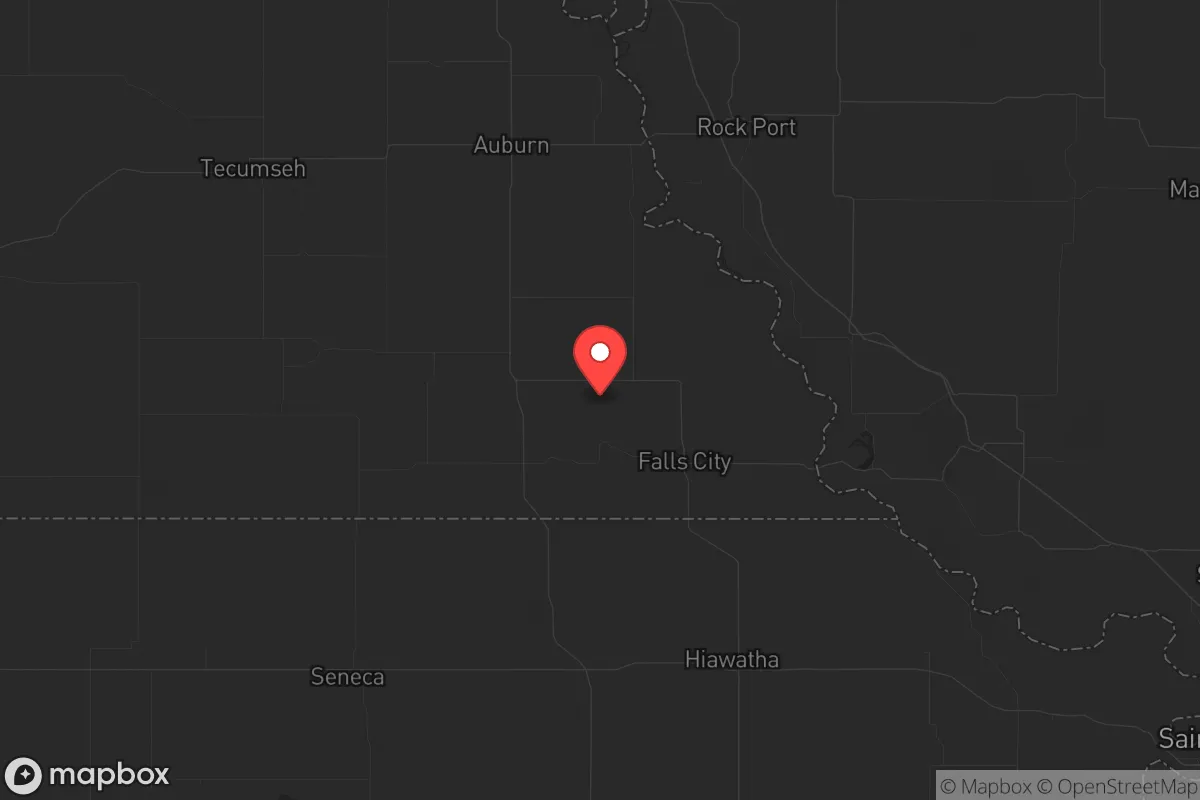
Richardson County, Nebraska, offers a compelling strategic profile for relocators prioritizing resilience and self-sufficiency, anchored by its position in the southeastern corner of the state along the Missouri River. The county's low population density—roughly 8,000 residents spread across 554 square miles—combined with its distance from major metropolitan targets, creates a natural buffer against many cascading risks. Falls City, the county seat and largest town, sits about 90 miles south of Omaha and 120 miles northwest of Kansas City, placing it far enough from primary fallout zones while remaining accessible for supply runs or medical evacuations if needed.
Geographic position and natural advantages for long-term stability
Richardson County's location along the Missouri River provides both a reliable water source and a natural defensive boundary to the east. The river corridor, flanked by the rolling Loess Hills, offers elevated terrain that reduces flood risk in most areas while maintaining access to alluvial soils ideal for small-scale agriculture. The county sits within the Big Nemaha River watershed, with multiple smaller creeks—including the Little Nemaha and Muddy Creek—providing distributed water sources that are less likely to be contaminated by a single upstream event. The region's temperate climate supports a 160-day growing season, sufficient for staple crops like corn, beans, and squash, as well as cold-hardy greens and root vegetables. The Indian Cave State Park area, straddling the Missouri River bluffs, offers hardwood forests for timber, game, and foraging, with white-tailed deer and turkey populations that remain stable year-round. For a relocator, this means the land itself can support basic subsistence without heavy infrastructure, a key advantage over arid western counties or flood-prone river bottoms further south.
Risks, exposures, and proximity to fallout-relevant landmarks
While Richardson County avoids the highest-risk zones, it is not without exposure. The most significant man-made risk comes from the Cooper Nuclear Station, located roughly 30 miles north-northwest in Brownville, Nebraska. This single-unit boiling water reactor, operational since 1974, sits directly on the Missouri River upstream from Falls City. A major containment failure or sabotage event could contaminate the river corridor and force downwind evacuations, though prevailing winds in the region typically carry fallout northeast toward Iowa rather than south into Richardson County. The county also lies within 100 miles of Offutt Air Force Base near Bellevue, Nebraska—headquarters of U.S. Strategic Command—making it a secondary target zone in a nuclear exchange. Closer to home, the Burlington Northern Santa Fe rail line running through Falls City and Humboldt carries hazardous materials, including anhydrous ammonia and crude oil, with derailment risks that have historically occurred in rural Nebraska every few years. Natural hazards are less dramatic but more predictable: the Missouri River flood of 2019 inundated low-lying areas near Rulo and Preston, and the region sits in Tornado Alley's eastern fringe, with an average of 6-8 tornado warnings per year. The New Madrid Seismic Zone, 350 miles southeast, could generate felt earthquakes but poses no structural threat to the county's older brick buildings.
Practical resilience for a relocator: food, water, energy, and defensibility
For someone serious about self-sufficiency, Richardson County offers a strong baseline. Water access is the standout advantage: the Missouri River provides a virtually unlimited surface supply, while the underlying Ogallala Aquifer's eastern edge yields reliable groundwater at depths of 50-150 feet. Falls City's municipal water system draws from wells, but a relocator with a drilled well and hand pump can secure independent supply. Food production is equally viable: the county has over 1,200 farms, with a heavy concentration of row crops (corn and soybeans) and livestock operations. Local farmers' markets in Falls City and Humboldt operate seasonally, and the Richardson County Fairgrounds host regular livestock auctions. For long-term storage, the area's low humidity (averaging 65-70% in summer) reduces spoilage risks for dried grains and canned goods. Energy resilience is moderate: the grid is served by the Nebraska Public Power District, which relies heavily on coal and nuclear generation. Solar potential is fair, with 4.5-5 peak sun hours per day, and wood heating is practical given the forested bluffs. Backup generators are common among rural residents, and propane delivery is reliable outside of major winter storms. Defensibility is the county's hidden strength: the terrain of rolling hills, wooded draws, and river bluffs provides natural cover and chokepoints. The county's low population density means that a prepared group could secure a perimeter around a homestead with relative ease, especially in the more remote areas near the Missouri River or the Indian Cave State Park buffer zone. The nearest National Guard armory is in Falls City, but its small size (a single company) limits its capacity for large-scale operations in a crisis.
The overall strategic picture for Richardson County is one of moderate-to-high resilience with manageable trade-offs. Its distance from primary nuclear targets, reliable water and food resources, and defensible terrain make it a solid choice for a relocator who values independence over convenience. The primary vulnerabilities—the Cooper Nuclear Station upstream and the Offutt AFB secondary risk—are real but statistically low-probability events, and the county's natural advantages in water and agriculture outweigh these concerns for most preparedness-minded individuals. For a family or single person looking to establish a long-term base with room to grow food, store supplies, and maintain a low profile, Richardson County ranks favorably among Nebraska's southeastern counties, behind only the more remote Sandhills region for overall strategic depth.
* Values derived from national, state, county, city and local statistics and may differ in a specific area. Last updated: 2026-06-12T10:34:06.000Z
Narrative content on this page is AI-generated and may contain mistakes. Verify any details that matter before acting on them.
ReloMaps may earn a commission from affiliate links at no extra cost to you.