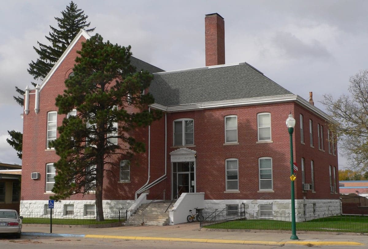
Photo: Wikipedia
Strategic Assessment of Cherry County
Deep buffer from population centers and strategic targets. Low natural disaster risk and minimal exposure to border or coastal threats.
What does the Strategic Assessment tell us?
Our Strategic Assessment grades tactical survivability of an area. Major population centers, military targets, fallout zones, natural disasters, and border exposure all drive risk — lower exposure means a more defensible position in a crisis.
This is heavily inspired by Joel Skousen's Strategic Relocation book. Highly recommended you checkout the book ($)What does this tell us?
Our Strategic Assessment grades tactical survivability of an area. Major population centers, military targets, fallout zones, natural disasters, and border exposure all drive risk — lower exposure means a more defensible position in a crisis.
This is heavily inspired by Joel Skousen's Strategic Relocation book. Highly recommended you checkout the book ($)Strategic Pillars

Key Distances
Strategic Assessment Analysis
Cherry County, Nebraska, offers a strategic relocation option for those prioritizing resilience, self-sufficiency, and distance from major metropolitan vulnerabilities. Its vast, sparsely populated geography—the largest county by area east of the Rockies—provides inherent security through low population density and limited strategic targets. The county seat, Valentine, serves as the primary hub, while smaller communities like Cody, Kilgore, and Wood Lake anchor a network of ranches and farms that form the backbone of the local economy and food system.
Geographic position and natural advantages for long-term security
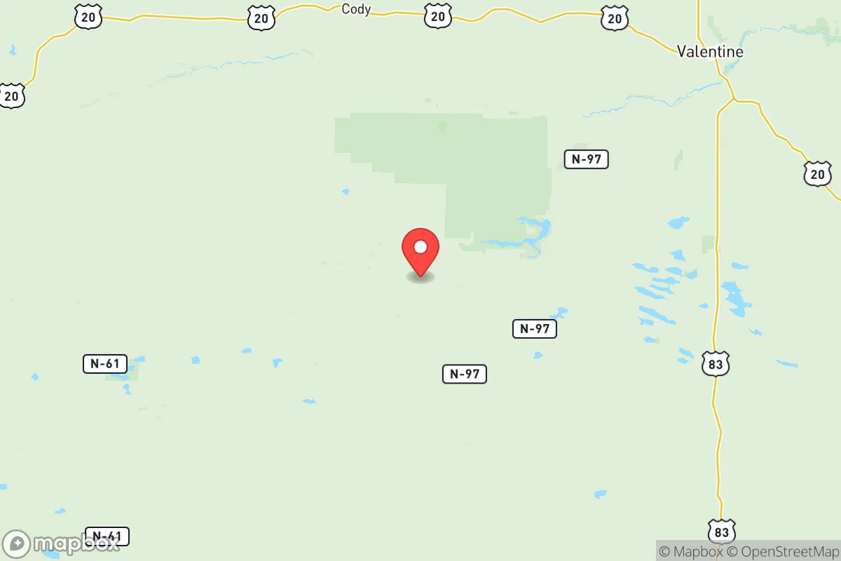
Cherry County sits in the Sandhills region, a unique ecosystem of grass-stabilized dunes and shallow groundwater aquifers that offers distinct advantages for a relocator. The county's position in north-central Nebraska places it over 250 miles from any major metropolitan area—Omaha, Denver, Sioux Falls, and Rapid City are all distant enough to avoid direct fallout patterns from a regional event. The Ogallala Aquifer, one of the world's largest freshwater reserves, lies beneath much of the county, providing a reliable, deep groundwater source that is less vulnerable to surface contamination than river-fed systems. The Niobrara River, which flows through the county near Valentine, offers additional surface water and riparian habitat. The Sandhills' porous soils mean surface water infiltrates quickly, reducing flood risk but also requiring careful well placement. The county's elevation (2,000–3,500 feet) and semi-arid climate (17–20 inches of annual precipitation) create a moderate environment with fewer extreme weather events than the Plains to the west or the Corn Belt to the east. The nearest significant military installation is Ellsworth Air Force Base near Rapid City, South Dakota, roughly 150 miles northwest—close enough for potential logistical support in a crisis but far enough to avoid being a primary target.
Risks, exposures, and proximity to fallout-relevant landmarks
Cherry County's primary risk profile is low compared to coastal or industrial regions, but it is not immune to threats. The county has no major refineries, nuclear power plants, or chemical facilities within its borders. The nearest significant industrial target is the ethanol plant in Atkinson, Nebraska (about 60 miles southeast), and the closest nuclear facility is the Fort Calhoun Nuclear Station near Omaha, over 250 miles southeast. The county's distance from the Transcontinental Pipeline and major rail hubs reduces the risk of cascading infrastructure failures. However, the county lies within the path of prevailing westerly winds that could carry fallout from a major event in the Rocky Mountain region or the Pacific Northwest, though the distance (over 500 miles) would significantly dilute any plume. Natural hazards include occasional blizzards, drought, and wildfire risk in the Sandhills' dry grasslands—the 2012 Mullen Fire burned over 200,000 acres in adjacent counties. Tornado risk is present but lower than in Nebraska's eastern counties; Cherry County averages 2–3 tornadoes per decade, typically weak EF0–EF1 events. The county's low population density means that even a direct hit from a severe storm would cause limited casualties and infrastructure damage.
Practical resilience for a relocator: food, water, energy, and defensibility
For a relocator focused on self-sufficiency, Cherry County offers strong fundamentals. The county's ranching economy means beef and dairy production are locally abundant, with the Valentine Livestock Auction serving as a regional market. Small-scale farming is viable in the Niobrara River valley and around the numerous natural lakes (the Sandhills contain over 1,500 lakes, many in Cherry County). The growing season is short (120–140 frost-free days) but sufficient for cold-hardy crops like potatoes, root vegetables, and grains. Wild game is plentiful—deer, turkey, and waterfowl are common, and the county's public lands (including the Samuel R. McKelvie National Forest and Fort Niobrara National Wildlife Refuge) provide hunting opportunities. Water access is excellent: the Ogallala Aquifer is shallow (50–150 feet deep in most areas) and can be tapped with a hand pump or solar-powered well. The county's energy infrastructure is limited but functional: most homes use propane or heating oil, with some wind and solar installations. The nearest major electrical substation is in Valentine, and the county is served by the Nebraska Public Power District, which has a relatively reliable grid. Defensibility is high due to the county's size and low population density—there are only 5.7 people per square mile, making it easy to maintain situational awareness and difficult for any large group to approach undetected. The county's road network is sparse but well-maintained; U.S. Highway 83 and Nebraska Highway 20 provide primary access, while countless gravel roads offer alternative routes. The nearest major hospital is in Valentine (Cherry County Hospital), with Level IV trauma capability; for serious emergencies, air transport to Rapid City or North Platte is available.
The overall strategic picture for Cherry County is one of strong natural resilience with manageable trade-offs. Its isolation from major targets, abundant water, and agricultural base make it a top-tier choice for a relocator prioritizing long-term security over convenience. The county's conservative, self-reliant culture aligns with the values of preparedness-minded individuals and families. The main drawbacks are the harsh winter climate, limited medical infrastructure, and the need for significant upfront investment in off-grid systems (solar, well, septic). For a family willing to adapt to rural life and invest in self-sufficiency, Cherry County offers a defensible, resource-rich environment that is unlikely to be affected by the cascading failures that would impact more densely populated regions. The key is to secure a property with water rights, establish a reliable energy system, and build relationships with local ranchers and farmers—the social capital of a small community is as valuable as any physical resource in a crisis.

* Values derived from national, state, county, city and local statistics and may differ in a specific area. Last updated: 2026-07-29T00:34:41.000Z
Narrative content on this page is AI-generated and may contain mistakes. Verify any details that matter before acting on them.
ReloMaps may earn a commission from affiliate links at no extra cost to you.

