Photo: Wikipedia
Strategic Assessment of Allegan County
Meaningful friction. Expect exposure to either population pressure, blast zones, or natural disaster risk. Consider buying a retreat property.
What does the Strategic Assessment tell us?
Our Strategic Assessment grades tactical survivability of an area. Major population centers, military targets, fallout zones, natural disasters, and border exposure all drive risk — lower exposure means a more defensible position in a crisis.
This is heavily inspired by Joel Skousen's Strategic Relocation book. Highly recommended you checkout the book ($)What does this tell us?
Our Strategic Assessment grades tactical survivability of an area. Major population centers, military targets, fallout zones, natural disasters, and border exposure all drive risk — lower exposure means a more defensible position in a crisis.
This is heavily inspired by Joel Skousen's Strategic Relocation book. Highly recommended you checkout the book ($)Strategic Pillars

Key Distances
Strategic Assessment Analysis
Allegan County, Michigan, offers a strategic balance of rural self-sufficiency and access to critical infrastructure, making it a credible option for relocation-minded individuals weighing resilience against convenience. Positioned along the eastern shore of Lake Michigan, the county provides a natural buffer from the dense urban corridors of Detroit and Chicago while retaining practical access to Grand Rapids, roughly 30 miles to the northeast. For a reader prioritizing disaster preparedness, the county’s mix of agricultural capacity, freshwater access, and low population density creates a defensible baseline that few Midwest counties can match.
Geographic position and natural advantages for long-term stability
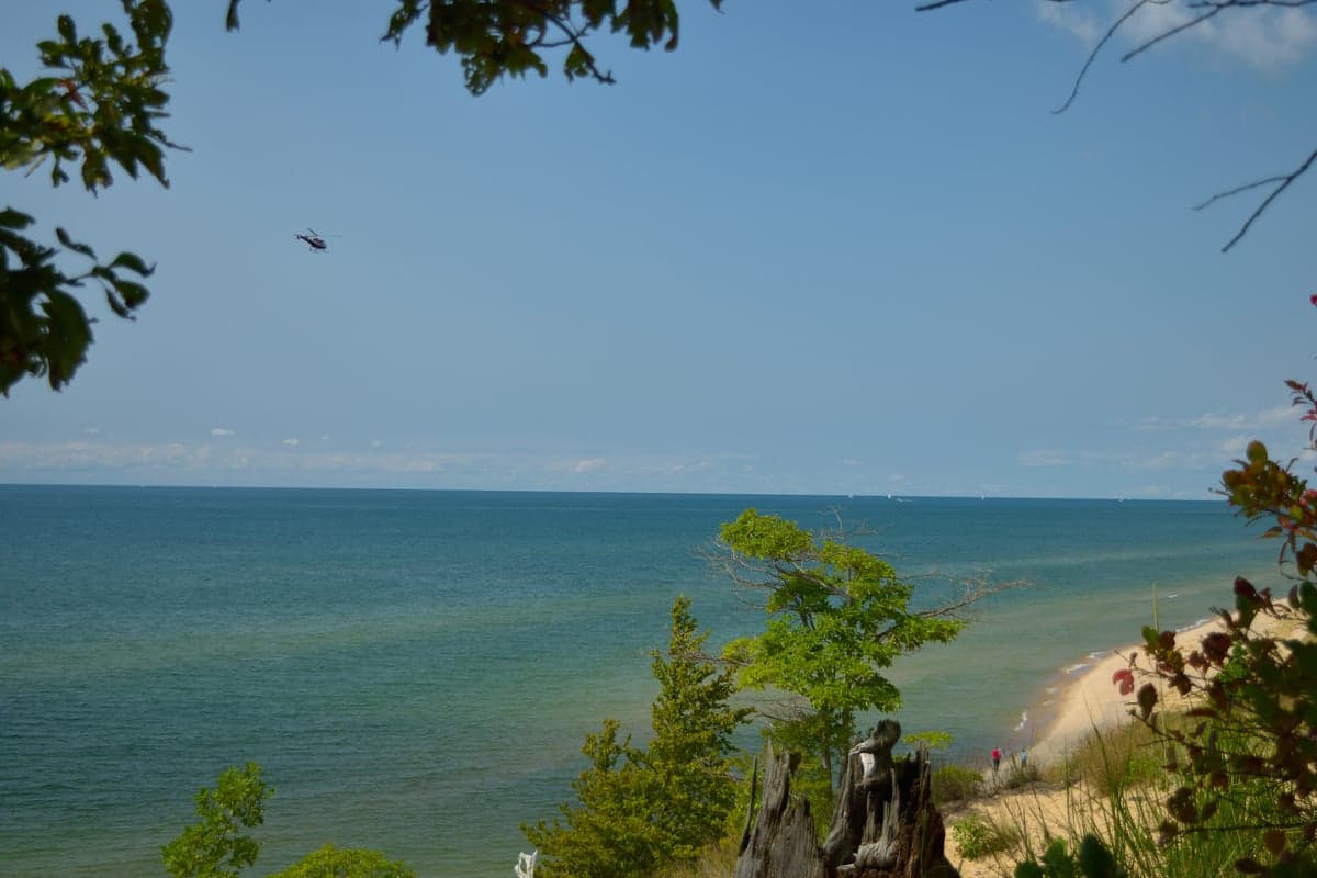
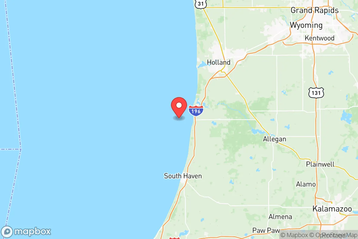
Allegan County’s defining feature is its 40-plus miles of Lake Michigan shoreline, which delivers a moderating climate effect and a virtually inexhaustible freshwater source—a critical asset in any long-term resilience scenario. The county seat, Allegan, sits at the confluence of the Kalamazoo River and the Rabbit River, while the larger town of Holland anchors the northern edge with its deep-water harbor and industrial base. Inland, the landscape transitions to rolling farmland and hardwood forests, particularly around the towns of Otsego and Plainwell, which sit along the Kalamazoo River corridor. This diversity of terrain means a relocator can choose between lake-effect snow zones near the coast and milder agricultural interiors, depending on tolerance for winter weather.
The county’s position relative to larger population centers is a double-edged sword, but for resilience purposes it leans positive. Grand Rapids, Michigan’s second-largest city, is close enough for employment and medical services—Spectrum Health’s downtown campus is a 40-minute drive from Allegan—yet far enough that a regional disruption would not immediately overwhelm rural resources. The county is also bisected by M-40 and M-89, state highways that provide redundant evacuation routes away from the I-94/I-96 corridors that would likely bottleneck in a crisis. For a family seeking a home base that is neither isolated nor exposed, Allegan County occupies a practical middle ground.
Risks, exposures, and proximity to fallout-relevant landmarks
No resilience assessment is honest without addressing vulnerabilities, and Allegan County has a few that warrant attention. The most significant is the Palisades Nuclear Plant, located just north of the county line in Van Buren County near Covert, Michigan. While the plant is currently in decommissioning after its 2022 shutdown, the spent fuel storage on-site remains a long-term radiological consideration; prevailing winds from the west-southwest would carry any airborne release toward inland Michigan, meaning Allegan’s lakeshore communities are in the immediate downwind zone. This is not an imminent threat, but a serious preparedness planner should map evacuation routes away from the Lake Michigan coast if that scenario ever materialized.
Industrial exposure is comparatively mild but not absent. The county hosts several food-processing and manufacturing facilities, including the large Post Consumer Brands plant in Battle Creek’s broader supply chain, though the more relevant local sites are the chemical and plastics operations along the Kalamazoo River in Otsego and Plainwell. The river itself has a legacy of PCB contamination from historical paper mills, a chronic environmental issue rather than an acute risk. On the natural hazard side, the county’s western edge is susceptible to lake-effect snow events that can drop two to three feet in a single storm, and the Kalamazoo River has a documented flood history—the 2018 flooding in Allegan and Otsego caused significant property damage. Tornado risk is moderate, consistent with western Michigan’s position on the edge of the traditional Dixie Alley pattern.
Practical resilience for a relocator: food, water, energy, and defensibility
For the self-sufficiency-minded reader, Allegan County’s practical assets are substantial. The county ranks among Michigan’s top agricultural producers, with a strong concentration of fruit orchards—particularly apples and blueberries around the Fennville and Glenn areas—plus dairy operations and row crops throughout the interior. This is not abstract potential; it is an active, working food economy. A relocator with even modest land can tap into established networks of local farmers’ markets, u-pick operations, and a robust county extension service through Michigan State University that offers soil testing, canning workshops, and livestock guidance. The Fennville area, in particular, has a microclimate that supports year-round small-scale farming, a meaningful advantage for food security.
Water access is the county’s strongest resilience card. Beyond Lake Michigan, the Kalamazoo River system and numerous inland lakes—including the 2,500-acre Lake Allegan reservoir—provide redundant freshwater sources. Well water is standard in rural areas, with the county’s groundwater table generally reliable and shallow enough for hand-pump retrofits in most locations. Energy infrastructure is more mixed: the county is served by Consumers Energy, and while grid reliability is typical for rural Michigan, the lakeshore communities face longer outage durations during winter storms. Solar potential is moderate—Michigan averages fewer sunny days than the Southwest—but the county’s agricultural zoning allows for ground-mounted arrays without the permitting friction found in urban jurisdictions. Wood heating is a practical option given the county’s forest cover, and several local suppliers offer seasoned firewood year-round.
Defensibility is where Allegan County’s geography works in a relocator’s favor. The county’s shape—roughly 30 miles wide and 40 miles deep—means most interior properties are 15 to 20 miles from any major highway, creating natural choke points on the county road network. The Allegan State Game Area, at over 50,000 acres, provides a vast, low-population buffer zone in the county’s center, while the Saugatuck Dunes and Laketown Township areas on the coast offer rugged terrain that is difficult to traverse quickly. For a family that wants to be reachable but not easily accessible, the interior townships around Hamilton, Hopkins, and Martin offer the best balance of land affordability and seclusion. The county’s law enforcement presence is modest—the Allegan County Sheriff’s Office covers the unincorporated areas—which means communities are expected to be self-reliant, a cultural norm that aligns with preparedness-minded relocation.
The overall strategic picture for Allegan County is favorable for a relocator who values resilience without embracing full isolation. The county offers a genuine agricultural base, abundant freshwater, and a geography that provides natural defensibility, all within reasonable reach of Grand Rapids’ medical and economic infrastructure. The primary trade-offs are the Palisades spent-fuel storage to the north, the lake-effect snow burden on the coast, and the reality that Michigan’s cold season demands serious energy planning. For a single individual or family willing to invest in well maintenance, backup heating, and a few acres of productive land, Allegan County represents a solid, unglamorous choice—a place where preparedness is less about dramatic measures and more about the quiet competence of rural infrastructure that has worked for generations.

* Values derived from national, state, county, city and local statistics and may differ in a specific area. Last updated: 2026-10-16T02:26:54.000Z
Narrative content on this page is AI-generated and may contain mistakes. Verify any details that matter before acting on them.
ReloMaps may earn a commission from affiliate links at no extra cost to you.

