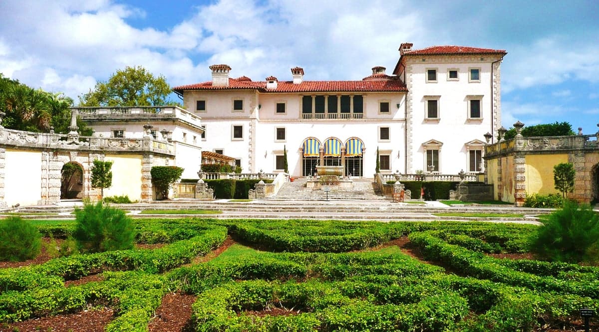
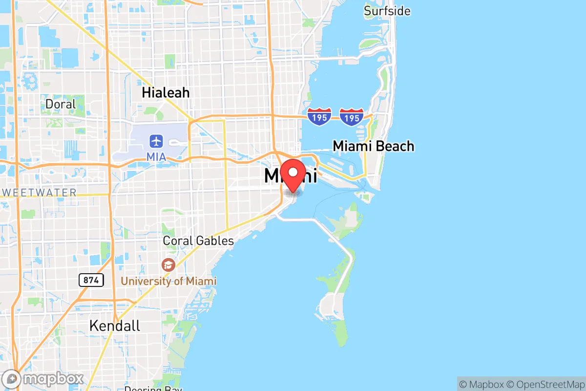
Photo: Wikipedia
Strategic Assessment of Miami, FL
High tactical risk. This location is likely close to major population centers, strategic targets, or sits in a high-disaster corridor. A retreat property and careful exit planning is required.
What does the Strategic Assessment tell us?
Our Strategic Assessment grades tactical survivability of an area. Major population centers, military targets, fallout zones, natural disasters, and border exposure all drive risk — lower exposure means a more defensible position in a crisis.
This is heavily inspired by Joel Skousen's Strategic Relocation book. Highly recommended you checkout the book ($)What does this tell us?
Our Strategic Assessment grades tactical survivability of an area. Major population centers, military targets, fallout zones, natural disasters, and border exposure all drive risk — lower exposure means a more defensible position in a crisis.
This is heavily inspired by Joel Skousen's Strategic Relocation book. Highly recommended you checkout the book ($)Strategic Pillars

Key Distances
Regional Safe Places
Below is our recommended "safe zones" in Florida and the surrounding area based on our strategic heuristics. For most people, it's unrealistic to live in a “safe zone” full-time due to work, family or other personal reasons. They tend to be more rural. However, many of these areas are perfect for second homes and retreat properties that double as a vacation home or even a short-term rental.

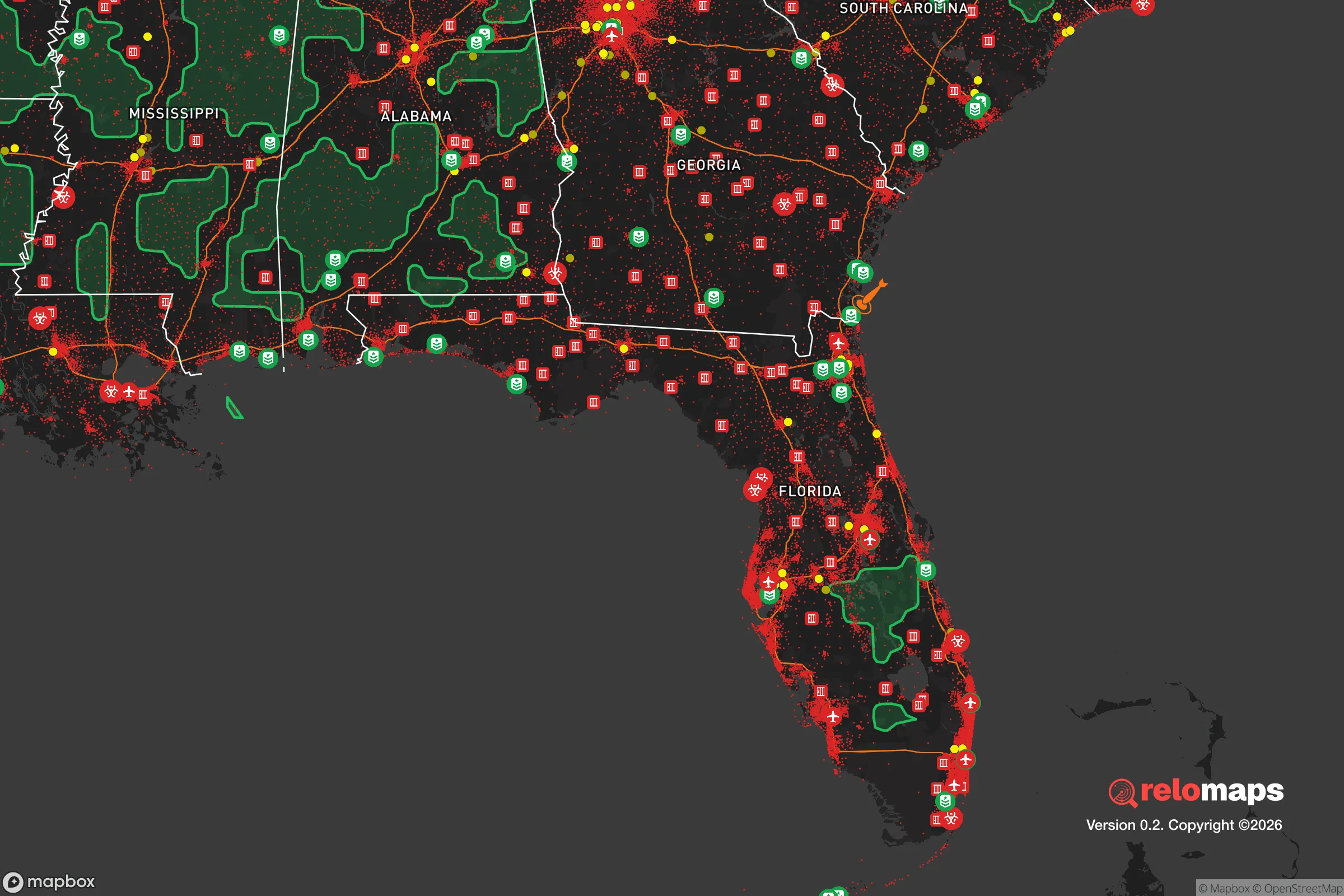


Important Note: For informational purposes only. This does not mean nothing bad ever happens in the green zones. Please use common sense. This is based on public data and modeled with AI. We tried to take a conservative approach but mistakes happen. We update this regularly as new information becomes available.
Solar Generator Recommendations
Backup power matters more here than in safer locations. We've picked three solar generators across budgets and capacity tiers — start with the budget unit if you only need a few essentials, or step up if you want to run a fridge and HVAC for days at a time.

Jackery Portable Power Station Explorer 300
Budget OptionPower on the Go: Weighing only 11 lbs, it's convenient to set up and store with book-sized foldable solar panels

BLUETTI Portable Power Station AC180
Designed for both indoor and outdoor scenarios, AC180 is highly capable as it has a robost capacity and continuous output power.

EF ECOFLOW DELTA Pro Ultra Power Station
Upgraded PickEcoFlow DELTA Pro Ultra is a whole-home energy system designed to grow with your family. Integrated with the Smart Home Panel 2, it scales to meet your evolving energy needs — keeping your home powered, intelligent, and secure through every stage of life.
We earn a commission, at no additional cost to you.
Strategic Assessment Analysis
Miami presents a paradox for the disaster-ready relocator: its immense geographic advantages for trade and climate are directly offset by extreme exposure to hurricanes, sea-level rise, and the concentration risks of being a major international hub. While the city’s resilience infrastructure has improved markedly post-Andrew, anyone moving here with a strategic mindset must treat Miami as a high-risk, high-reward proposition that demands personal preparation far beyond typical suburban living. This analysis strips away the tourism gloss and examines Miami as a potential base of operations for a family or individual who takes readiness seriously.
Geographic position and natural advantages for long-term stability
Miami’s location at the southeastern tip of the Florida peninsula offers genuine strategic benefits for trade, evacuation, and access to the Caribbean and Latin America. The Port of Miami, often called the "Cruise Capital of the World," provides a direct maritime link that could be critical for supply chains during regional disruptions. The area’s flat topography, while maligned for drainage, makes construction and movement of heavy equipment straightforward. The subtropical climate eliminates the risk of blizzards, ice storms, or deep freezes that cripple northern cities. From a resource standpoint, South Florida sits atop the Biscayne Aquifer, one of the most productive and naturally filtered freshwater sources in the United States. Miami-Dade County also maintains a robust emergency management system, with hurricane hardening codes that are among the strictest in the nation. For a relocator, the year-round growing season is a tangible asset — you can keep a substantial vegetable garden going 10-11 months of the year, and many neighborhoods permit backyard chickens and small livestock. The proximity to Everglades National Park and the Atlantic means that water, hunting, and fishing resources are within a short drive, offering a fallback food source that most major metros cannot match.
Risks, exposures, and proximity to high-value targets
The most obvious and persistent threat to Miami is its hurricane vulnerability. The region has a 1-in-6 annual chance of a major hurricane (Category 3+) making landfall within 50 miles. Storm surge is the primary killer — much of the coastal and low-lying area sits at or below 10 feet of elevation, and a Category 5 storm could push water 15-20 feet inland. Flooding from heavy rain, even outside hurricane season, is a chronic problem due to the flat terrain and aging drainage infrastructure. Beyond weather, Miami’s status as a global financial center and transportation hub makes it a high-value target for both physical attack and cyber disruption. The city hosts major port facilities, the U.S. Southern Command headquarters in Doral, and a dense concentration of international banking and real estate assets. Proximity to Cuba (only 90 miles away) introduces geopolitical uncertainty, though direct conflict risk remains low. For the resilience-minded relocator, the concentration of 6 million people in a narrow coastal strip is itself a vulnerability — evacuation chokepoints (I-95, the Turnpike, US-1) become gridlocked quickly, and regional resources can be overwhelmed after a major event. The airspace over Miami International is among the busiest in the world, meaning any national-level emergency would create immediate chaos in the skies above. On a more granular level, the city’s reliance on just a handful of major bridges and causeways (the MacArthur, Venetian, Rickenbacker, and Julia Tuttle) means that a single point of failure could isolate the barrier islands and downtown from the mainland.
Practical resilience for a relocator: food, water, energy, and defensibility
Water security in Miami is a mixed bag. The Biscayne Aquifer provides excellent quality water, but it is shallow and highly vulnerable to saltwater intrusion during storm surge and sea-level rise. A major hurricane could contaminate the supply for weeks. Every household should plan for at least 14 days of stored drinking water, plus a filter system capable of handling brackish or saline sources (RO or distillation). Food resilience is stronger than in most cities: Miami has a deep network of farmers’ markets, Latino and Caribbean grocery stores, and wholesale suppliers (e.g., Sysco, US Foods) that can be tapped for bulk purchasing. The climate supports year-round citrus, avocado, mango, and tropical fruit production in backyards, and community gardening is growing in popularity. Hunters and fishermen have direct access to the Atlantic, Biscayne Bay, and the Everglades, though licensing and seasonal limits apply. Energy infrastructure is improving but fragile. Florida Power & Light has spent heavily on grid hardening since 2017, burying lines and reinforcing substations, but widespread outages after a Category 3+ storm should still be expected to last 7-14 days in many areas. Solar panels are viable here — Miami averages 250 sunny days per year — but they must be tied to battery storage to function during grid outages. Natural gas generators are common in the suburbs but require a steady fuel supply, which can be disrupted. Defensibility is the weak link in Miami. The city is dense, with a high ratio of rentals and transient populations. Secure, suburban-style properties with perimeter fencing, good sightlines, and multiple egress points exist in areas like Coral Gables, Pinecrest, and the Redlands, but they are expensive and relatively rare. Crime rates in Miami are above the national average, with property crime being the primary concern post-hurricane (looting spikes are documented after major storms). A family serious about security should prioritize a home in the western suburbs (West Kendall, Homestead, or the Redlands) where lot sizes are larger, neighborhoods are less dense, and evacuation routes (Krome Avenue, Tamiami Trail) offer more options than the coastal corridor.
The overall strategic picture for Miami is one of high capability paired with high exposure. For a relocator with the budget and discipline to prepare — storing water, hardening a home, diversifying energy sources, and securing a defensible property in the western suburbs — the area offers a genuinely unique combination of climate, water, food, and trade advantages. However, for someone unwilling to invest serious time and money in personal readiness, Miami presents real, repeatable risks. The city’s resilience is institutional, not individual, and that distinction matters deeply when the grid goes dark and the roads are impassable. Make no mistake: Miami is not a safe harbor. It is a forward operating base that requires a sharp, skeptical operator to thrive in. If that describes you, the trade-offs may well be worth it.

* Values derived from national, state, county, city and local statistics and may differ in a specific area. Last updated: 2026-07-03T04:15:42.000Z
Narrative content on this page is AI-generated and may contain mistakes. Verify any details that matter before acting on them.
ReloMaps may earn a commission from affiliate links at no extra cost to you.

