
Photo: Wikipedia
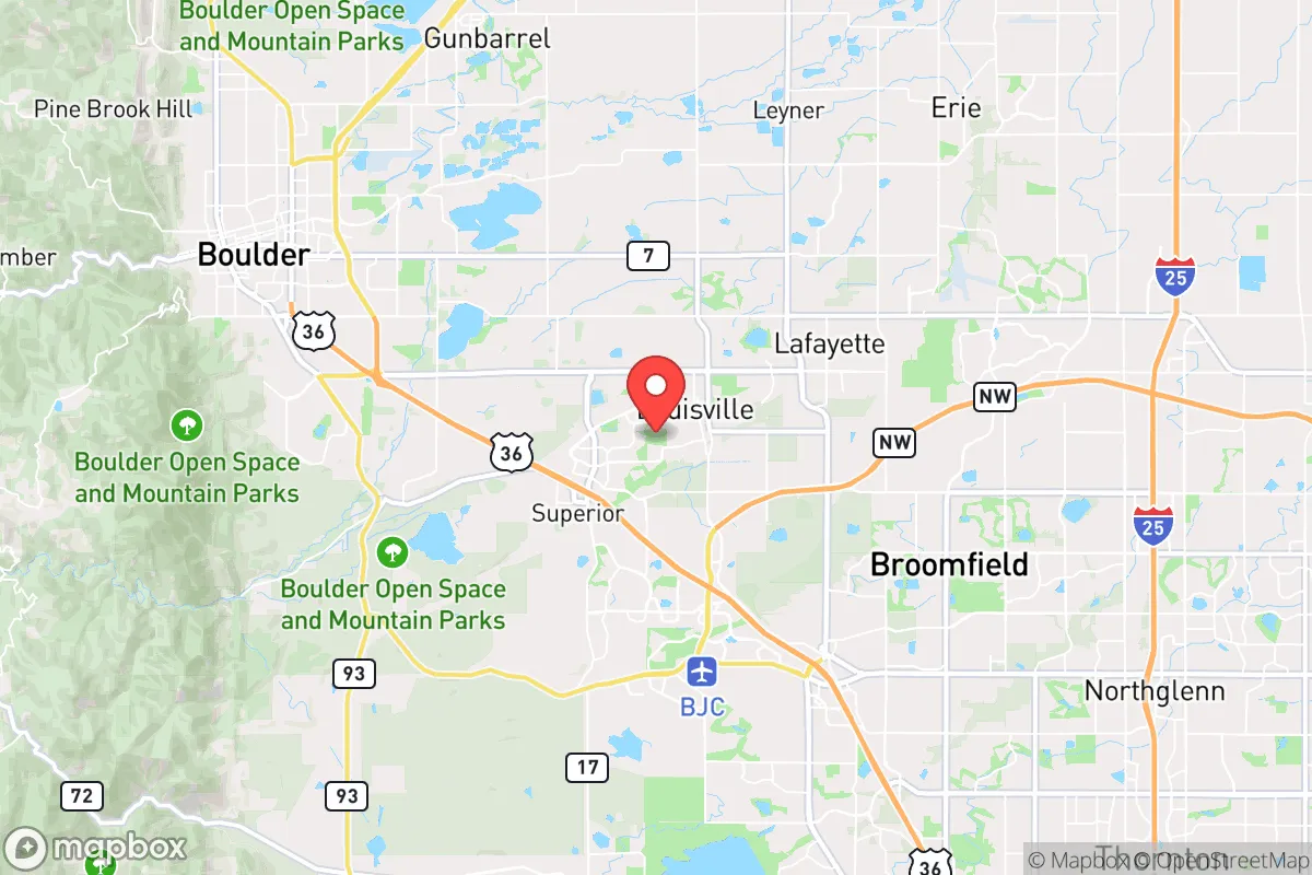
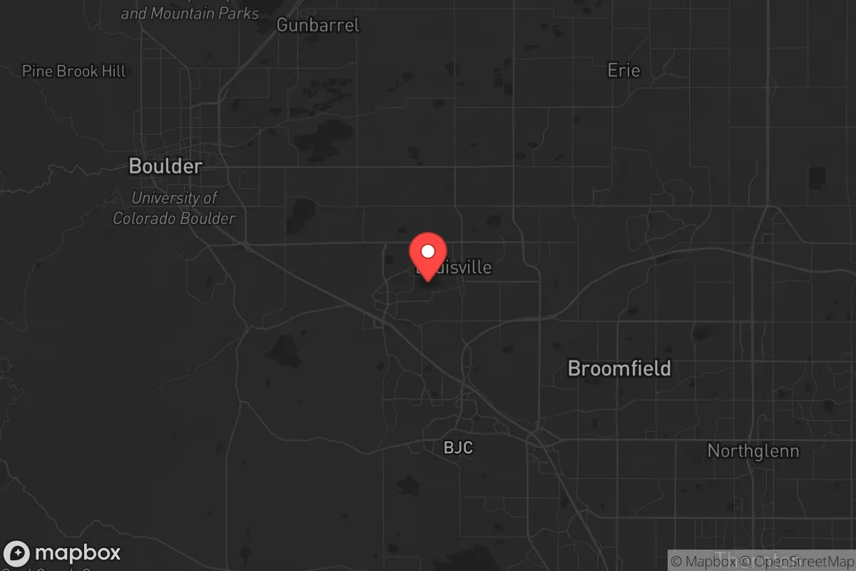
Strategic Assessment of Louisville, CO
Multiple tactical vulnerabilities. Population density, target proximity, or disaster risk are likely compounding. A retreat property and exit planning is required.
What does the Strategic Assessment tell us?
Our Strategic Assessment grades tactical survivability of an area. Major population centers, military targets, fallout zones, natural disasters, and border exposure all drive risk — lower exposure means a more defensible position in a crisis.
This is heavily inspired by Joel Skousen's Strategic Relocation book. Highly recommended you checkout the book ($)What does this tell us?
Our Strategic Assessment grades tactical survivability of an area. Major population centers, military targets, fallout zones, natural disasters, and border exposure all drive risk — lower exposure means a more defensible position in a crisis.
This is heavily inspired by Joel Skousen's Strategic Relocation book. Highly recommended you checkout the book ($)Strategic Pillars

Key Distances
Regional Safe Places
Below is our recommended "safe zones" in Colorado and the surrounding area based on our strategic heuristics. For most people, it's unrealistic to live in a “safe zone” full-time due to work, family or other personal reasons. They tend to be more rural. However, many of these areas are perfect for second homes and retreat properties that double as a vacation home or even a short-term rental.


Important Note: For informational purposes only. This does not mean nothing bad ever happens in the green zones. Please use common sense. This is based on public data and modeled with AI. We tried to take a conservative approach but mistakes happen. We update this regularly as new information becomes available.
Solar Generator Recommendations
Backup power matters more here than in safer locations. We've picked three solar generators across budgets and capacity tiers — start with the budget unit if you only need a few essentials, or step up if you want to run a fridge and HVAC for days at a time.

Jackery Portable Power Station Explorer 300
Budget OptionPower on the Go: Weighing only 11 lbs, it's convenient to set up and store with book-sized foldable solar panels

BLUETTI Portable Power Station AC180
Designed for both indoor and outdoor scenarios, AC180 is highly capable as it has a robost capacity and continuous output power.

EF ECOFLOW DELTA Pro Ultra Power Station
Upgraded PickEcoFlow DELTA Pro Ultra is a whole-home energy system designed to grow with your family. Integrated with the Smart Home Panel 2, it scales to meet your evolving energy needs — keeping your home powered, intelligent, and secure through every stage of life.
We earn a commission, at no additional cost to you.
Strategic Assessment Analysis
Louisville, Colorado, presents a complex strategic picture for the conservative prepper. While its immediate location offers some natural buffers, its proximity to major population centers and critical infrastructure introduces significant vulnerabilities that must be weighed carefully. The town’s position along the Front Range urban corridor, roughly 25 miles northwest of Denver, places it within the blast radius of a potential high-altitude electromagnetic pulse (HEMP) event targeting the Denver metro area, and its dependence on a fragile supply chain for food, water, and energy makes self-sufficiency a serious challenge. For the relocator prioritizing long-term resilience over convenience, Louisville is a location that demands a hard-eyed assessment of its trade-offs.
Geographic position and natural advantages for long-term survival
Louisville sits at an elevation of 5,300 feet on the eastern slope of the Rocky Mountains, offering a moderate climate with four distinct seasons and an average annual snowfall of about 60 inches, which provides a reliable water source in the form of snowmelt. The town is nestled against the foothills, with the Boulder County Open Space and the Indian Peaks Wilderness to the west, providing immediate access to rugged terrain that could serve as a retreat or cache point. The area’s geology is dominated by sedimentary rock and alluvial soils, which are less prone to seismic activity than the fault lines further west, but the region does experience occasional minor tremors. The nearby Rocky Flats National Wildlife Refuge, a former nuclear weapons plant, is a mixed blessing: its cleanup has been controversial, but the land itself is now a buffer zone that limits development and provides a natural barrier to the east. The South Boulder Creek and Coal Creek run through the area, offering surface water sources, though both are subject to seasonal fluctuations and potential contamination from upstream agricultural runoff or industrial sites. The prevailing westerly winds carry clean mountain air, but they also mean that any airborne fallout from a Denver-centric event would likely be blown eastward, away from Louisville—a modest but real advantage.
Risks, exposures, and proximity to fallout-relevant landmarks
The most glaring vulnerability is Louisville’s proximity to the Denver-Aurora-Lakewood metropolitan area, home to over 2.9 million people. In a scenario of civil unrest, mass casualty events, or a coordinated attack, the city would be a primary target for both direct strikes and the secondary effects of panic-driven evacuation. The Denver International Airport (DIA), a major transportation hub, is roughly 35 miles southeast, and its status as a potential staging ground for federal operations or a target for disruption cannot be ignored. The Rocky Mountain Arsenal National Wildlife Refuge, a former chemical weapons and pesticide production site, lies about 20 miles east, and while it has been remediated, its history of contamination raises questions about long-term environmental hazards. The Boulder County area is also home to the National Center for Atmospheric Research (NCAR) and the University of Colorado Boulder, both of which could be targets for ideological or cyberattacks. The nearby U.S. 36 corridor is a primary evacuation route that would likely become a choke point in a crisis, funneling millions of people into the mountains and creating gridlock. Louisville itself is a dense suburban community of roughly 20,000 residents, with a housing stock that is predominantly single-family homes on small lots, offering limited defensible space. The town’s reliance on the grid for electricity and natural gas, and its connection to the Denver water system via the Colorado-Big Thompson Project, means that a disruption to regional infrastructure would cascade quickly. The presence of the Rocky Flats site, while now a wildlife refuge, still contains buried plutonium contamination that could be disturbed by a major disaster, though the risk is low in a conventional sense.
Practical resilience for a relocator: food, water, energy, and defensibility
For a relocator looking to establish a resilient homestead, Louisville presents significant hurdles. The town’s zoning and homeowners’ association (HOA) regulations are strict, with many neighborhoods prohibiting chickens, livestock, or visible gardening beyond ornamental landscaping. The average lot size is under 0.25 acres, making large-scale food production impractical. Community gardens exist but are limited and subject to local governance. Water rights are a critical issue: the area is in a semi-arid climate, receiving only about 15 inches of precipitation annually, and most residential wells are not permitted for new construction. The municipal water supply comes from the Colorado-Big Thompson Project, which is vulnerable to drought, cyberattack, or physical disruption. Rainwater collection is legal in Colorado but heavily regulated, with strict limits on barrel size and usage. For energy, solar panels are feasible given the region’s 300+ sunny days per year, but net metering policies are subject to change, and battery storage is expensive. Natural gas is the primary heating source, and a prolonged grid outage would leave most homes without heat in winter. Defensibility is poor: Louisville is a compact, interconnected suburb with multiple entry points via U.S. 36, State Highway 42, and local roads. The town’s police force is small (about 30 officers), and response times in a widespread emergency would be stretched thin. The nearest hospital, Boulder Community Health, is 10 miles away and would be overwhelmed in a mass casualty event. The local food supply is dependent on grocery stores like King Soopers and Whole Foods, which would empty within hours of a crisis. The best option for a prepper is to establish a secondary retreat in the nearby mountains, such as in Gilpin or Clear Creek County, where land is cheaper, water is more abundant, and population density is lower.
Overall, Louisville offers a decent quality of life in stable times, but its strategic value for a survivalist is marginal at best. The town’s location provides some natural advantages—clean air, mountain access, and a moderate climate—but these are outweighed by its proximity to high-value targets, dense population, and reliance on fragile infrastructure. For the conservative relocator who is serious about preparedness, Louisville is best viewed as a temporary staging area or a place to maintain a low-profile presence while developing a more defensible, self-sufficient property further into the mountains. The key takeaway is that this is not a location where you can hunker down and ride out a major crisis; it is a place where you would need to have a plan to leave quickly and a destination already secured. If you are willing to invest in a remote cabin and maintain a dual-residence strategy, Louisville can work as a base of operations, but as a sole location, it falls short of the resilience required for the scenarios that keep a prepper up at night.
* Values derived from national, state, county, city and local statistics and may differ in a specific area. Last updated: 2026-05-01T12:44:52.000Z
Narrative content on this page is AI-generated and may contain mistakes. Verify any details that matter before acting on them.
ReloMaps may earn a commission from affiliate links at no extra cost to you.