
Photo: Wikipedia
Strategic Assessment of Dubois County
Workable tactical position. Some exposure to population density or targets, but generally defensible in a crisis.
What does the Strategic Assessment tell us?
Our Strategic Assessment grades tactical survivability of an area. Major population centers, military targets, fallout zones, natural disasters, and border exposure all drive risk — lower exposure means a more defensible position in a crisis.
This is heavily inspired by Joel Skousen's Strategic Relocation book. Highly recommended you checkout the book ($)What does this tell us?
Our Strategic Assessment grades tactical survivability of an area. Major population centers, military targets, fallout zones, natural disasters, and border exposure all drive risk — lower exposure means a more defensible position in a crisis.
This is heavily inspired by Joel Skousen's Strategic Relocation book. Highly recommended you checkout the book ($)Strategic Pillars

Key Distances
Strategic Assessment Analysis
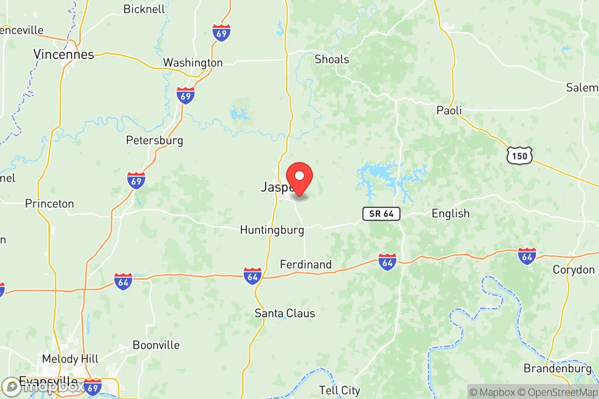
Dubois County, Indiana, offers a compelling strategic profile for those prioritizing resilience and self-sufficiency, combining a strong local economy with a location that is deliberately removed from major metropolitan vulnerabilities. Anchored by the city of Jasper and the towns of Huntingburg and Ferdinand, the county sits roughly 45 miles from Evansville and 90 miles from Louisville, placing it far enough from large urban centers to avoid their primary risks—such as civil unrest, infrastructure collapse, or targeted strikes—while still being within a practical distance for supply runs or medical access. The county’s manufacturing base, led by industries like woodworking (e.g., Kimball International in Jasper) and automotive parts, provides a stable economic foundation that is less reliant on distant supply chains than many other regions.
Geographic position and natural advantages for long-term stability
Dubois County’s geography is a quiet asset. It sits in the rolling hills of southern Indiana, an area that is not prone to the major natural disasters that plague other parts of the country—no hurricanes, no earthquakes of significance, and only occasional tornadoes that are far less frequent than in the Plains states. The county is drained by the Patoka River and its tributaries, which feed into the larger Wabash River system, providing a reliable water source that is not dependent on a single reservoir. The terrain is a mix of forested hills and agricultural bottomlands, offering natural defensibility: the hills provide vantage points and make large-scale movement difficult, while the valleys offer fertile soil for small-scale farming. The county’s position in the Ohio River Valley means it is within a day’s drive of multiple major cities (Indianapolis, Cincinnati, Nashville) but is not a primary target for any of them. This “sweet spot” of isolation without total remoteness is a key advantage for a relocator seeking to balance security with access.
Risks, exposures, and proximity to fallout-relevant landmarks
While Dubois County is not a high-risk area, it is not immune to man-made threats. The most significant nearby landmark is the Naval Surface Warfare Center Crane Division, located roughly 30 miles north in Martin County. Crane is a major U.S. Navy installation that handles weapons systems, electronic warfare, and ordnance testing. While it is a secure military base, its presence means the county sits within a potential secondary fallout zone if Crane were ever targeted in a conflict. Additionally, the county is about 60 miles from the Rockport coal-fired power plant in Spencer County, a large industrial facility that could be a secondary target or a source of hazardous material release. On the natural disaster front, the county’s main exposure is to severe thunderstorms and occasional flooding along the Patoka River, particularly in low-lying areas near Jasper and Huntingburg. The Patoka Lake, a large reservoir just north of the county line, is a critical water source but also a flood control structure; a dam failure, while unlikely, would affect downstream communities. Overall, the risk profile is low compared to coastal or urban areas, but the proximity to Crane is a factor that a serious prepper should acknowledge.
Practical resilience for a relocator: food, water, energy, and defensibility
For someone looking to live self-sufficiently, Dubois County offers strong fundamentals. Water is abundant: the Patoka River and its tributaries provide surface water, and the county’s groundwater is generally good quality, with many rural properties having private wells. The Patoka Lake also serves as a regional water supply for several counties, adding a layer of redundancy. Food production is viable, with the county having a mix of row-crop agriculture (corn, soybeans) and smaller livestock operations. The Amish and Mennonite communities in neighboring counties (e.g., Daviess County to the west) provide a local network of small-scale farming knowledge and equipment that a relocator could tap into. Energy is a mixed picture: the county is served by the Duke Energy Indiana grid, which is reliable but vulnerable to regional outages. However, the area’s forested hills make wood heating a practical option, and solar potential is moderate (about 4.5 peak sun hours per day). Defensibility is aided by the terrain—rural properties on ridge lines offer natural surveillance and chokepoints, while the county’s low population density (about 42,000 people across 435 square miles) means fewer neighbors to compete with for resources. The county seat, Jasper, has a strong local government and a well-regarded police force, but for a relocator, the real value lies in the outlying areas where one can maintain a low profile.
The overall strategic picture for Dubois County is one of quiet competence. It is not a flashy or high-profile location, but that is precisely its strength. The county offers a balanced mix of economic stability, natural resources, and geographic isolation that makes it a strong candidate for a relocator focused on long-term resilience. The proximity to the Crane military installation is a real but manageable risk, and the county’s distance from major cities means it is unlikely to be a primary target or a destination for mass evacuation. For a family or individual looking to establish a self-sufficient homestead with access to a functioning local economy, Dubois County represents a solid, defensible choice in the Midwest.

* Values derived from national, state, county, city and local statistics and may differ in a specific area. Last updated: 2026-08-04T23:58:35.000Z
Narrative content on this page is AI-generated and may contain mistakes. Verify any details that matter before acting on them.
ReloMaps may earn a commission from affiliate links at no extra cost to you.

