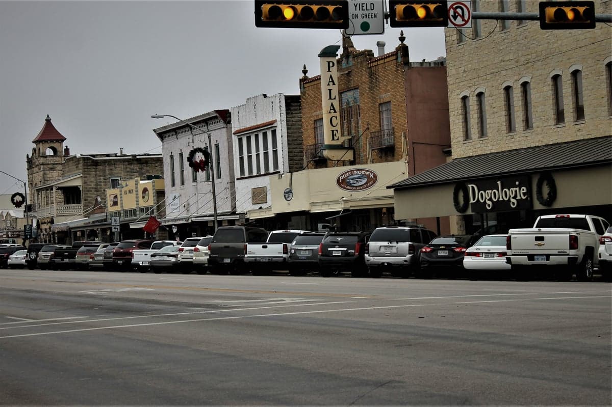
Photo: Wikipedia
Strategic Assessment of Fredericksburg, TX
Meaningful friction. Expect exposure to either population pressure, blast zones, or natural disaster risk. Consider buying a retreat property.
What does the Strategic Assessment tell us?
Our Strategic Assessment grades tactical survivability of an area. Major population centers, military targets, fallout zones, natural disasters, and border exposure all drive risk — lower exposure means a more defensible position in a crisis.
This is heavily inspired by Joel Skousen's Strategic Relocation book. Highly recommended you checkout the book ($)What does this tell us?
Our Strategic Assessment grades tactical survivability of an area. Major population centers, military targets, fallout zones, natural disasters, and border exposure all drive risk — lower exposure means a more defensible position in a crisis.
This is heavily inspired by Joel Skousen's Strategic Relocation book. Highly recommended you checkout the book ($)Strategic Pillars

Key Distances
Regional Safe Places
Below is our recommended "safe zones" in Texas and the surrounding area based on our strategic heuristics. For most people, it's unrealistic to live in a “safe zone” full-time due to work, family or other personal reasons. They tend to be more rural. However, many of these areas are perfect for second homes and retreat properties that double as a vacation home or even a short-term rental.

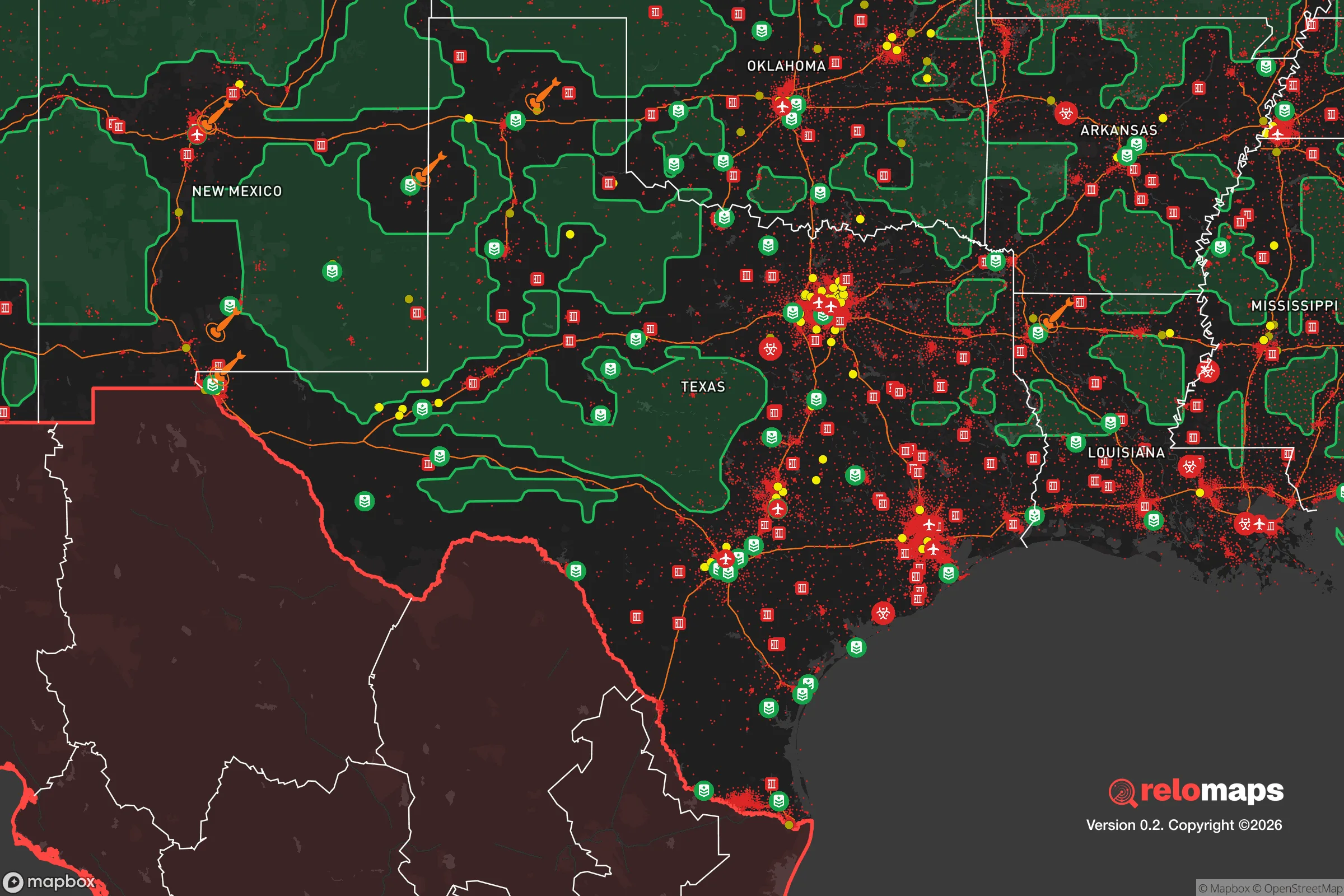


Important Note: For informational purposes only. This does not mean nothing bad ever happens in the green zones. Please use common sense. This is based on public data and modeled with AI. We tried to take a conservative approach but mistakes happen. We update this regularly as new information becomes available.
Solar Generator Recommendations
Backup power matters more here than in safer locations. We've picked three solar generators across budgets and capacity tiers — start with the budget unit if you only need a few essentials, or step up if you want to run a fridge and HVAC for days at a time.

Jackery Portable Power Station Explorer 300
Budget OptionPower on the Go: Weighing only 11 lbs, it's convenient to set up and store with book-sized foldable solar panels

BLUETTI Portable Power Station AC180
Designed for both indoor and outdoor scenarios, AC180 is highly capable as it has a robost capacity and continuous output power.

EF ECOFLOW DELTA Pro Ultra Power Station
Upgraded PickEcoFlow DELTA Pro Ultra is a whole-home energy system designed to grow with your family. Integrated with the Smart Home Panel 2, it scales to meet your evolving energy needs — keeping your home powered, intelligent, and secure through every stage of life.
We earn a commission, at no additional cost to you.
Strategic Assessment Analysis
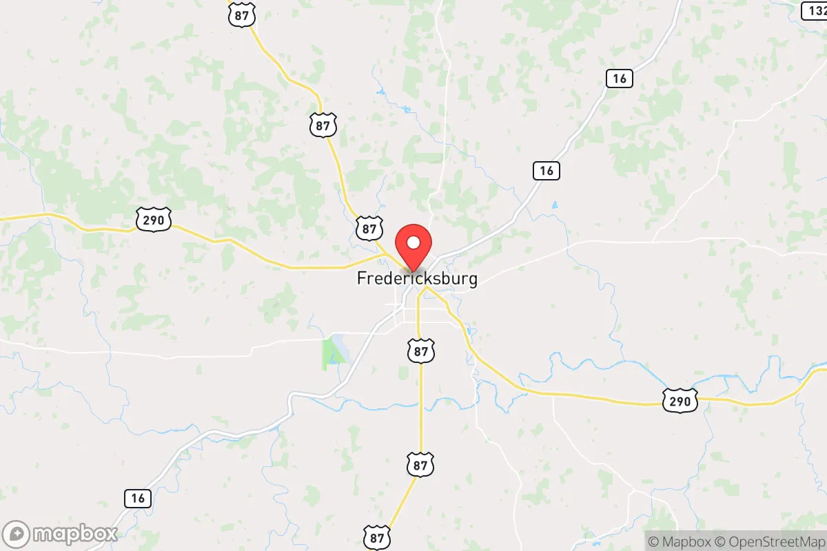
Fredericksburg, Texas, offers a compelling strategic position for those prioritizing resilience and self-sufficiency, sitting roughly 70 miles west of Austin and 60 miles north of San Antonio—close enough to access resources but far enough to avoid the immediate fallout of urban collapse. Its location in the Texas Hill Country provides natural defensive advantages, including rugged terrain, limited major highway access, and a climate that supports year-round agriculture. For a conservative-minded relocator concerned with civic unrest, mass casualty events, or systemic breakdown, Fredericksburg presents a balanced mix of isolation, resource availability, and community cohesion that is rare in modern Texas.
Geographic position and natural defensive advantages in the Hill Country
Fredericksburg sits at the edge of the Edwards Plateau, where the land rises into limestone hills, oak-juniper woodlands, and spring-fed creeks. This topography inherently limits large-scale movement—enemy or refugee columns would find the winding, two-lane roads like US-87 and TX-16 easy to monitor and difficult to traverse quickly. The area is not a natural invasion corridor; the nearest interstate (I-10) is 30 miles south, and I-35 is over 50 miles east. In a scenario of mass evacuation from San Antonio or Austin, most traffic would funnel toward I-10 or I-35, bypassing Fredericksburg. The town itself sits in a valley, but the surrounding hills provide observation points and natural chokepoints. The Pedernales River runs just north of town, offering a reliable water source, though it is not a major navigable waterway—meaning it won't bring unwanted river traffic. The region's karst topography means groundwater is accessible via wells, but depth varies; most residential wells in Gillespie County run 200–400 feet, which is manageable with a solar or hand pump backup. The climate is semi-arid, with average rainfall around 30 inches per year, sufficient for rain catchment systems and small-scale farming without the humidity of East Texas. The growing season stretches from March to November, allowing for two crop cycles of staples like corn, beans, and squash. For a prepper, this is a location where you can realistically produce a significant portion of your own food within a few seasons.
Risks, exposures, and proximity to fallout-relevant landmarks
No location is without vulnerabilities, and Fredericksburg has several that a strategic relocator must weigh. The most obvious risk is its proximity to two major metropolitan areas—Austin and San Antonio—both of which are likely epicenters of unrest, resource competition, or disease outbreaks in a collapse scenario. At 70 miles, a determined group on foot could reach Fredericksburg in three to four days, and vehicle-borne refugees could arrive in under two hours. The town's population of roughly 11,000 could swell rapidly if evacuation routes are not secured. Additionally, Gillespie County is not a "redoubt" in the sense of being far from strategic targets: the nearby cities contain military installations (Fort Sam Houston, Camp Bullis, Lackland AFB) and critical infrastructure (power plants, data centers, transportation hubs) that could become targets in a conflict. The area is also within 150 miles of the South Texas Nuclear Project (Bay City) and the Comanche Peak Nuclear Power Plant (Glen Rose), though prevailing winds generally carry fallout eastward. More immediately, the region is prone to flash flooding in low-lying areas near creeks, and the 2018 floods demonstrated that even Hill Country towns can be cut off for days. Wildfire risk is moderate, with the 2011 Bastrop fire showing how quickly dry conditions can turn catastrophic. The town's single hospital (Hill Country Memorial) has 86 beds and limited trauma capability—adequate for routine care but quickly overwhelmed in a mass casualty event. For a prepper, the key takeaway is that Fredericksburg is not a fortress; it is a defensible position that requires active preparation, community networking, and a plan for early warning and potential evacuation to more remote areas further west (e.g., the Big Bend region) if the situation deteriorates.
Practical resilience for a relocator: food, water, energy, and defensibility
Fredericksburg's practical resilience is strong but requires upfront investment. Water is the linchpin: the Trinity Aquifer underlies the area, and while municipal water is reliable in town, a well on a rural property is the gold standard. Rainwater catchment is also viable, with average annual rainfall of 30 inches yielding roughly 600 gallons per 1,000 square feet of roof area. The Pedernales River is a backup, but it's seasonal and can run low in drought years. Food resilience is excellent: the county has a strong agricultural base, with local ranchers raising cattle, goats, and sheep, and numerous farms producing vegetables, fruits, and wine grapes. The Fredericksburg Farmers Market operates year-round, and the town's German heritage means a culture of canning, preserving, and butchering is still alive. For long-term storage, the climate is dry enough that root cellars and underground storage work well. Energy resilience is mixed: the local grid is served by Pedernales Electric Cooperative, which has a decent reliability record, but the area is not immune to the rolling blackouts that plagued Texas in 2021. Solar is a strong option—the Hill Country averages over 260 sunny days per year—and many rural properties already have propane tanks for backup heating and cooking. Defensibility is where Fredericksburg shines relative to other Texas towns. The terrain limits approaches, and the community is tight-knit, with a strong volunteer fire department and an active sheriff's office. The town's layout—a compact historic core with residential spread along rural roads—means that a perimeter could be established with relatively few people. However, the town is not walled or gated; it relies on social cohesion and mutual aid. For a relocator, the recommendation is to buy land at least 5–10 miles outside town, on a dead-end road or near a hilltop, with a well and solar array already in place. The local gun culture is robust, with multiple gun shops and ranges, and the county has a strong Second Amendment ethos. Ammunition and reloading supplies are readily available. In short, Fredericksburg offers a high baseline of resilience, but it is not a "bug-out" location—it is a place to build a life that can withstand shocks, provided you arrive with skills, supplies, and a willingness to integrate into the local community.
The overall strategic picture for Fredericksburg is one of cautious optimism for the prepared relocator. It is not a remote wilderness redoubt—you will have neighbors, tourists, and the occasional influx of city-dwellers on weekends. But it is also not a suburb that will collapse into chaos the moment the power goes out. The town's German heritage instills a culture of hard work, self-reliance, and community obligation that aligns well with conservative values. The local economy is diversified enough (tourism, agriculture, healthcare, small manufacturing) to survive a moderate downturn, and the county's tax base is stable. For a single individual or family looking to step off the grid while staying within reach of civilization, Fredericksburg is a top-tier choice in Texas. The key is to act now—land prices have been rising steadily, and the window for acquiring a well-positioned property with water and solar access is narrowing. If you are serious about resilience, this is a place where you can build a sustainable, defensible, and fulfilling life without living like a hermit. Just don't expect to keep it a secret; the word is already out among those who pay attention.

* Values derived from national, state, county, city and local statistics and may differ in a specific area. Last updated: 2026-04-19T07:21:06.000Z
Narrative content on this page is AI-generated and may contain mistakes. Verify any details that matter before acting on them.
ReloMaps may earn a commission from affiliate links at no extra cost to you.

