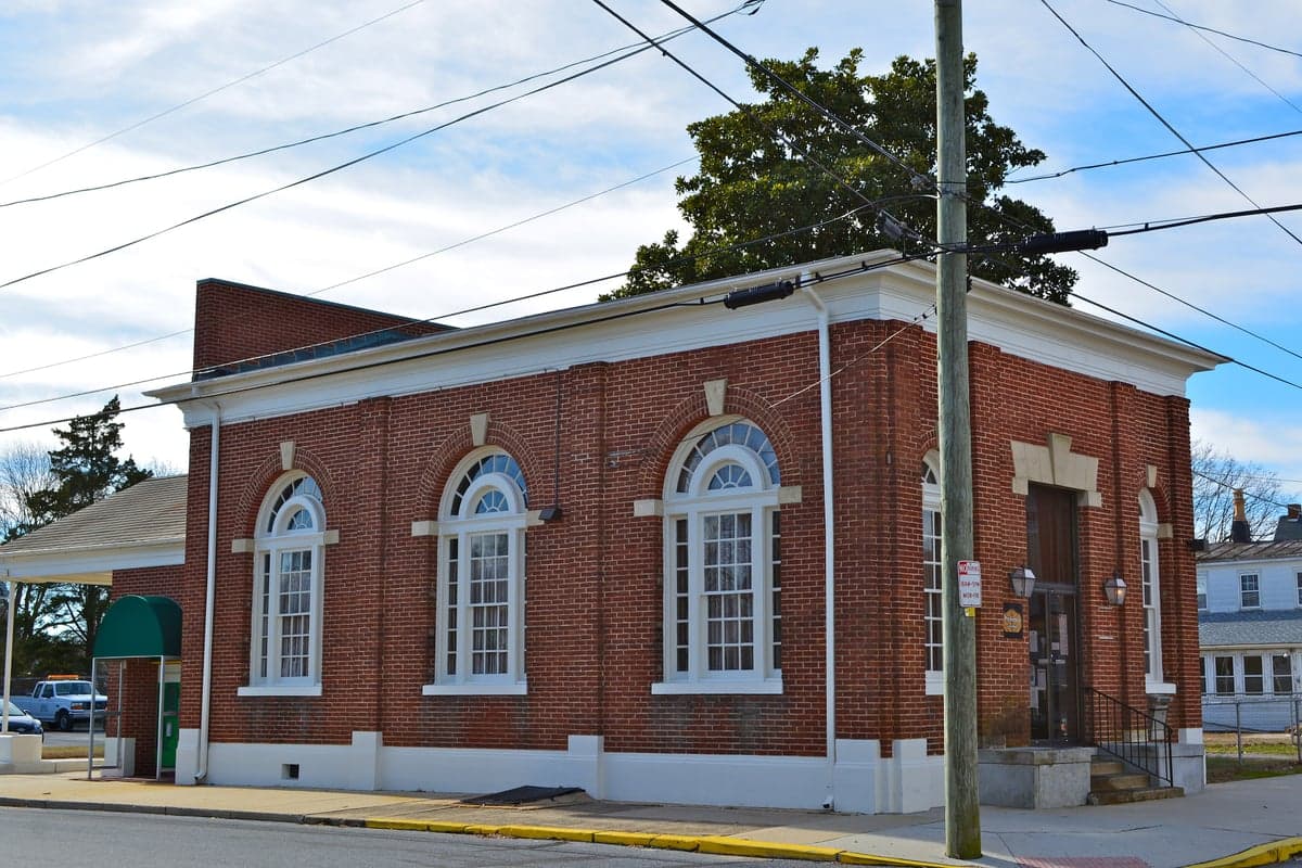
Photo: Wikipedia
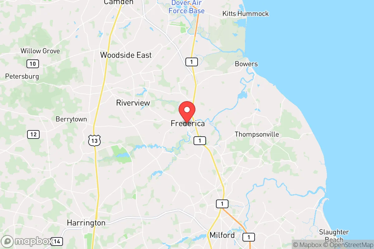
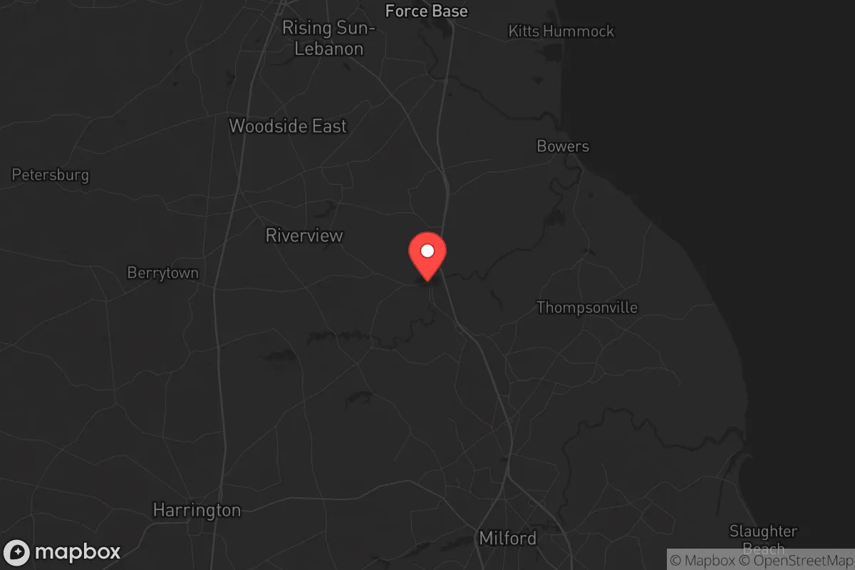
Strategic Assessment of Frederica, DE
Multiple tactical vulnerabilities. Population density, target proximity, or disaster risk are likely compounding. A retreat property and exit planning is required.
What does the Strategic Assessment tell us?
Our Strategic Assessment grades tactical survivability of an area. Major population centers, military targets, fallout zones, natural disasters, and border exposure all drive risk — lower exposure means a more defensible position in a crisis.
This is heavily inspired by Joel Skousen's Strategic Relocation book. Highly recommended you checkout the book ($)What does this tell us?
Our Strategic Assessment grades tactical survivability of an area. Major population centers, military targets, fallout zones, natural disasters, and border exposure all drive risk — lower exposure means a more defensible position in a crisis.
This is heavily inspired by Joel Skousen's Strategic Relocation book. Highly recommended you checkout the book ($)Strategic Pillars

Key Distances
Regional Safe Places
Below is our recommended "safe zones" in Delaware and the surrounding area based on our strategic heuristics. For most people, it's unrealistic to live in a “safe zone” full-time due to work, family or other personal reasons. They tend to be more rural. However, many of these areas are perfect for second homes and retreat properties that double as a vacation home or even a short-term rental.


Important Note: For informational purposes only. This does not mean nothing bad ever happens in the green zones. Please use common sense. This is based on public data and modeled with AI. We tried to take a conservative approach but mistakes happen. We update this regularly as new information becomes available.
Solar Generator Recommendations
Backup power matters more here than in safer locations. We've picked three solar generators across budgets and capacity tiers — start with the budget unit if you only need a few essentials, or step up if you want to run a fridge and HVAC for days at a time.

Jackery Portable Power Station Explorer 300
Budget OptionPower on the Go: Weighing only 11 lbs, it's convenient to set up and store with book-sized foldable solar panels

BLUETTI Portable Power Station AC180
Designed for both indoor and outdoor scenarios, AC180 is highly capable as it has a robost capacity and continuous output power.

EF ECOFLOW DELTA Pro Ultra Power Station
Upgraded PickEcoFlow DELTA Pro Ultra is a whole-home energy system designed to grow with your family. Integrated with the Smart Home Panel 2, it scales to meet your evolving energy needs — keeping your home powered, intelligent, and secure through every stage of life.
We earn a commission, at no additional cost to you.
Strategic Assessment Analysis
Frederica, Delaware, offers a surprisingly resilient position for those prioritizing strategic relocation, balancing proximity to essential infrastructure with a buffer from the most acute risks of major metropolitan collapse. Located in Kent County, roughly 10 miles south of Dover and 30 miles north of the Salisbury metro area, this small town of under 1,000 residents sits on the edge of the Delmarva Peninsula, a region that naturally limits both ingress and egress—a double-edged sword for security. For the prepper or survivalist, Frederica’s key advantage is its position within a rural agricultural corridor, with access to the Delaware Bay and the Chesapeake & Delaware Canal, providing both water resources and a potential escape route if the eastern seaboard becomes untenable. The area’s low population density and distance from major interstate choke points (I-95 is about 20 miles west) mean that in a crisis, you are not immediately in the path of mass evacuation flows from Philadelphia, Baltimore, or Washington, D.C., all of which are within a 90-minute drive under normal conditions.
Geographic position and natural advantages for long-term security
Frederica’s geography is its primary strategic asset. The town sits on the Murderkill River, a tidal tributary of the Delaware Bay, offering a reliable freshwater source and potential for small-scale aquaculture or fishing. The surrounding landscape is flat, fertile farmland, part of the Delmarva Peninsula’s agricultural heartland, which means local food production is not just possible but already established. The area’s position on the peninsula creates a natural funnel: to the east is the Delaware Bay, to the west is the Chesapeake Bay, and the only land routes north and south are limited to US-113 and DE-1. This chokepoint geography makes Frederica relatively defensible against large-scale incursions from the north, as any mass movement from the I-95 corridor would have to pass through Dover or Smyrna, giving residents advance warning. The climate is temperate, with a growing season of roughly 180 days, allowing for reliable gardening and small-scale farming. The lack of major mountain ranges or dense forests also means that natural disasters like wildfires are minimal, though the area is prone to coastal storms and flooding from the Murderkill River during heavy rains.
Risks, exposures, and proximity to fallout-relevant landmarks
No strategic assessment is complete without acknowledging the liabilities. Frederica’s primary risk is its proximity to Dover Air Force Base (about 12 miles north), a major military installation that houses the 436th Airlift Wing and the Air Force Mortuary Affairs Operations. In a scenario involving civil unrest or a national emergency, Dover AFB is a high-value target for both state and non-state actors, and its presence could draw military traffic, checkpoints, or even ground combat to the area. Additionally, the town lies within 50 miles of the Salem Nuclear Power Plant (New Jersey) and the Hope Creek Nuclear Generating Station, both across the Delaware Bay. While prevailing winds typically blow from the west, a catastrophic release from either plant could contaminate the region, particularly the waterways. The Delmarva Peninsula’s limited road network is also a vulnerability: US-113 and DE-1 are the only major north-south routes, and both can become gridlocked during a mass evacuation, as seen during hurricane warnings. Flooding from the Murderkill River and storm surge from the Delaware Bay are real threats, with the town’s low elevation (under 30 feet) making it susceptible to sea-level rise and extreme weather events. Finally, the area’s reliance on the Chesapeake & Delaware Canal for commercial shipping means that a disruption to that waterway could affect supply chains, but it also provides a potential waterborne escape route to the Chesapeake Bay.
Practical resilience for a relocator: food, water, energy, and defensibility
For the individual or family looking to establish a resilient homestead, Frederica offers a mix of advantages and challenges. Food security is strong: the surrounding Kent County is one of Delaware’s top agricultural producers, with corn, soybeans, and poultry operations. Local farmers’ markets and roadside stands are common, and the Murderkill River provides access to blue crabs, oysters, and finfish. For those with land, the sandy loam soil is well-suited for root vegetables and grains, though irrigation may be necessary during dry spells. Water is a mixed bag: the Murderkill River is tidal and brackish, so it requires treatment or desalination for drinking. Groundwater is available via wells, but the area’s aquifer is shallow and can be susceptible to saltwater intrusion during droughts. A deep well with a hand pump or solar-powered pump is a wise investment. Energy independence is achievable: Delaware has net metering policies that allow for solar panel installation, and the flat terrain makes wind turbines viable, though local zoning may restrict them. The area’s grid is served by Delmarva Power, which has a history of outages during storms, so a backup generator or battery system is essential. Defensibility is moderate: the town itself is small and walkable, with a few choke points (the bridges over the Murderkill River) that could be monitored. However, the surrounding farmland offers little natural cover, and the open terrain means that any approach is visible from a distance. A rural property with a perimeter fence, a well, and a garden would be far more defensible than a house in the town center. The local community is tight-knit, with a strong volunteer fire department and a culture of self-reliance, which is a social asset in a crisis—but also means that newcomers should invest in building relationships before a disaster strikes.
The overall strategic picture for Frederica is one of cautious optimism for the prepared relocator. It is not a bug-out location in the wilderness sense, but rather a working-class agricultural town that offers a realistic balance of access to resources and distance from the most volatile urban centers. The proximity to Dover AFB and the nuclear plants is a genuine risk, but one that can be mitigated with situational awareness and a pre-planned evacuation route south toward the more rural areas of Sussex County or across the Chesapeake Bay Bridge. For the conservative-leaning individual or family who values community, self-sufficiency, and a slower pace of life, Frederica provides a solid foundation—provided you arrive with your own water treatment, energy backup, and a willingness to get your hands dirty. The area’s resilience is not given; it must be built, but the raw materials are here.
* Values derived from national, state, county, city and local statistics and may differ in a specific area. Last updated: 2026-04-29T19:14:06.000Z
Narrative content on this page is AI-generated and may contain mistakes. Verify any details that matter before acting on them.
ReloMaps may earn a commission from affiliate links at no extra cost to you.