
Photo by Olivia Brewer on Unsplash
Strategic Assessment of Fair Oaks, CA
Meaningful friction. Expect exposure to either population pressure, blast zones, or natural disaster risk. Consider buying a retreat property.
What does the Strategic Assessment tell us?
Our Strategic Assessment grades tactical survivability of an area. Major population centers, military targets, fallout zones, natural disasters, and border exposure all drive risk — lower exposure means a more defensible position in a crisis.
This is heavily inspired by Joel Skousen's Strategic Relocation book. Highly recommended you checkout the book ($)What does this tell us?
Our Strategic Assessment grades tactical survivability of an area. Major population centers, military targets, fallout zones, natural disasters, and border exposure all drive risk — lower exposure means a more defensible position in a crisis.
This is heavily inspired by Joel Skousen's Strategic Relocation book. Highly recommended you checkout the book ($)Strategic Pillars

Key Distances
Regional Safe Places
Below is our recommended "safe zones" in California and the surrounding area based on our strategic heuristics. For most people, it's unrealistic to live in a “safe zone” full-time due to work, family or other personal reasons. They tend to be more rural. However, many of these areas are perfect for second homes and retreat properties that double as a vacation home or even a short-term rental.




Important Note: For informational purposes only. This does not mean nothing bad ever happens in the green zones. Please use common sense. This is based on public data and modeled with AI. We tried to take a conservative approach but mistakes happen. We update this regularly as new information becomes available.
Solar Generator Recommendations
Backup power matters more here than in safer locations. We've picked three solar generators across budgets and capacity tiers — start with the budget unit if you only need a few essentials, or step up if you want to run a fridge and HVAC for days at a time.

Jackery Portable Power Station Explorer 300
Budget OptionPower on the Go: Weighing only 11 lbs, it's convenient to set up and store with book-sized foldable solar panels

BLUETTI Portable Power Station AC180
Designed for both indoor and outdoor scenarios, AC180 is highly capable as it has a robost capacity and continuous output power.

EF ECOFLOW DELTA Pro Ultra Power Station
Upgraded PickEcoFlow DELTA Pro Ultra is a whole-home energy system designed to grow with your family. Integrated with the Smart Home Panel 2, it scales to meet your evolving energy needs — keeping your home powered, intelligent, and secure through every stage of life.
We earn a commission, at no additional cost to you.
Strategic Assessment Analysis
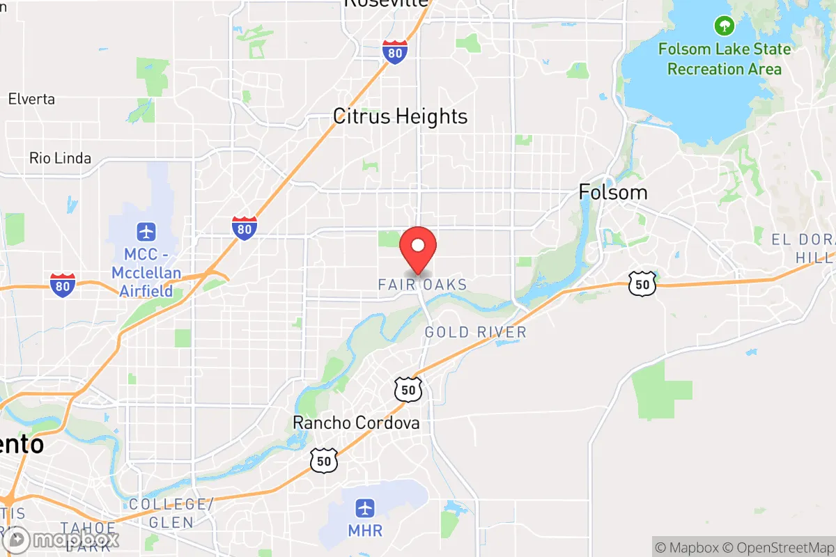
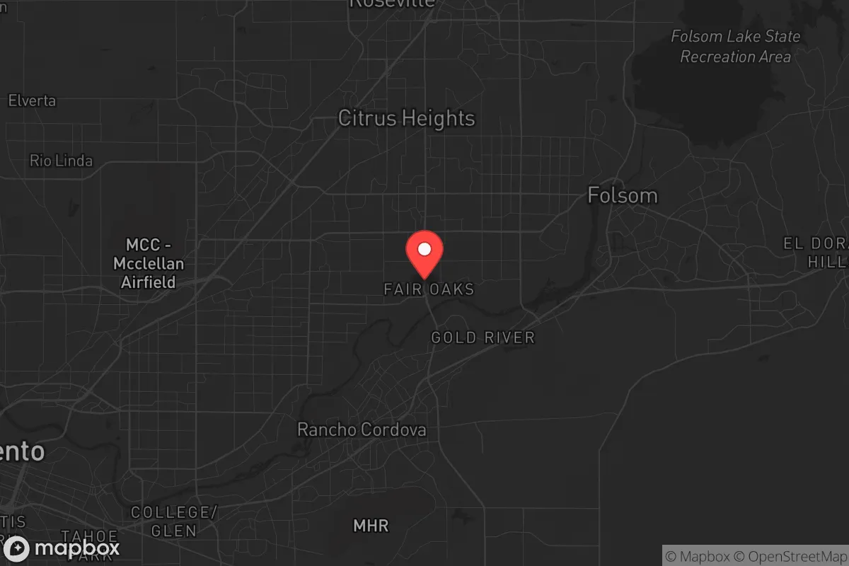
Fair Oaks, California, presents a mixed strategic picture for the relocation-minded reader prioritizing resilience and self-sufficiency. Located in Sacramento County, roughly 15 miles east of downtown Sacramento and 25 miles from the state capital's core, this unincorporated community of roughly 32,000 residents sits in a transitional zone between the flat Central Valley and the Sierra Nevada foothills. Its position offers some geographic insulation from the densest urban corridors while still being close enough to major infrastructure to be affected by regional disruptions. For a conservative-leaning individual or family weighing disaster readiness, Fair Oaks requires a clear-eyed assessment of its genuine advantages against its very real exposure to both natural and man-made risks.
Geographic position and natural advantages for long-term stability
Fair Oaks sits on the eastern edge of the Sacramento Valley, where the terrain begins to rise gently toward the Sierra Nevada foothills. This elevation, while modest at roughly 200 to 300 feet above sea level, places most of the community above the floodplain that threatens large portions of Sacramento County. The area is not immune to flooding — certain low-lying pockets near the American River can see water issues during heavy rain — but the core residential neighborhoods are not in designated 100-year flood zones. The local climate is Mediterranean, with hot, dry summers and mild, wet winters, which supports year-round gardening and small-scale agriculture. The American River runs along the southern boundary of Fair Oaks, providing a surface water source that, with proper treatment, could serve as an emergency supply. The surrounding region includes substantial tracts of undeveloped oak woodland and agricultural land, offering space for those looking to establish a more self-sufficient lifestyle. The proximity to the Sierra Nevada foothills also means that higher-elevation retreat options are within a two-hour drive, which could be relevant for those planning a multi-location resilience strategy.
Risk exposure and proximity to fallout-relevant landmarks
The most significant vulnerability for Fair Oaks is its proximity to Sacramento, a major state capital and population center. In any scenario involving a large-scale disaster — whether natural or man-made — the city's 500,000-plus residents would create severe pressure on surrounding communities. Fair Oaks lies directly along the primary evacuation routes from Sacramento, including Highway 50 and Interstate 80, which would likely become choked in a rapid evacuation event. The area is also within the broader Sacramento metropolitan region, which includes multiple potential targets of concern for a preparedness-minded reader. Travis Air Force Base, a major strategic airlift hub, is roughly 40 miles southwest. Beale Air Force Base, home to intelligence and surveillance operations, is about 35 miles north. The state capitol complex, numerous federal buildings, and major transportation infrastructure in Sacramento itself represent potential secondary risks. For those specifically concerned with fallout scenarios, Fair Oaks sits within the plausible downwind zone from these targets depending on prevailing weather patterns, though the prevailing winds in the region generally blow from the west and southwest, which could carry fallout eastward toward the Sierra Nevada rather than directly over Fair Oaks. The area is also in an active seismic zone; while not on the immediate San Andreas fault line, the region experiences frequent small earthquakes and could see significant shaking from a major event on the nearby faults in the Sierra Nevada or Coast Ranges.
Practical resilience for relocators: food, water, energy, and defensibility
For a relocator looking to establish a self-sufficient household, Fair Oaks offers a mixed set of practical considerations. The region's agricultural heritage is genuine — Sacramento County is one of California's top agricultural producers, and the immediate area has numerous small farms, farmers' markets, and a strong gardening culture. The growing season is long, typically from March through November, allowing for substantial home food production. Water availability is the critical constraint. The region depends heavily on the Sacramento-San Joaquin Delta and Sierra Nevada snowpack for its water supply, both of which are under increasing stress from drought, regulatory restrictions, and infrastructure limitations. A private well is possible in some parts of Fair Oaks, but much of the area is served by the San Juan Water District or Sacramento County Water Agency, meaning most residents are on municipal supply. For those serious about water independence, property selection must prioritize well access and water rights. Energy resilience is more straightforward: the region gets abundant solar radiation, and rooftop solar with battery storage is a viable option for most homes. Natural gas is widely available for backup heating and cooking. The terrain is generally open and rolling, with a mix of suburban subdivisions and larger rural parcels. Defensibility varies dramatically by specific location. The denser suburban neighborhoods offer little in the way of security advantage, while the more rural eastern parts of Fair Oaks, with larger lots, tree cover, and limited road access, provide better options for those prioritizing security. The area's crime rate is moderate — property crime is the primary concern, with rates slightly below the Sacramento County average but above the national median — which is relevant for both everyday security and post-disaster scenarios.
The overall strategic picture for Fair Oaks is one of qualified potential. It offers genuine advantages in climate, growing conditions, and proximity to both wilderness retreat options and the resources of a major metropolitan area. But those advantages come with significant exposure to the risks inherent in living near a state capital and major military infrastructure. For a relocator who can secure a property with a private well, install solar and battery backup, and establish a productive garden, Fair Oaks could serve as a viable base for a resilience-oriented lifestyle. The key is understanding that this is not a remote, defensible redoubt — it is a suburban community with good bones for self-sufficiency but real vulnerabilities that require active mitigation. The reader who treats it as such, rather than as a bug-out location, will get the most accurate picture of what life here actually demands.

* Values derived from national, state, county, city and local statistics and may differ in a specific area. Last updated: 2026-08-22T09:47:46.000Z
Narrative content on this page is AI-generated and may contain mistakes. Verify any details that matter before acting on them.
ReloMaps may earn a commission from affiliate links at no extra cost to you.

