
Photo: Wikipedia
Strategic Assessment of Evansville, IN
Workable tactical position. Some exposure to population density or targets, but generally defensible in a crisis.
What does the Strategic Assessment tell us?
Our Strategic Assessment grades tactical survivability of an area. Major population centers, military targets, fallout zones, natural disasters, and border exposure all drive risk — lower exposure means a more defensible position in a crisis.
This is heavily inspired by Joel Skousen's Strategic Relocation book. Highly recommended you checkout the book ($)What does this tell us?
Our Strategic Assessment grades tactical survivability of an area. Major population centers, military targets, fallout zones, natural disasters, and border exposure all drive risk — lower exposure means a more defensible position in a crisis.
This is heavily inspired by Joel Skousen's Strategic Relocation book. Highly recommended you checkout the book ($)Strategic Pillars

Key Distances
Regional Safe Places
Below is our recommended "safe zones" in Indiana and the surrounding area based on our strategic heuristics. For most people, it's unrealistic to live in a “safe zone” full-time due to work, family or other personal reasons. They tend to be more rural. However, many of these areas are perfect for second homes and retreat properties that double as a vacation home or even a short-term rental.

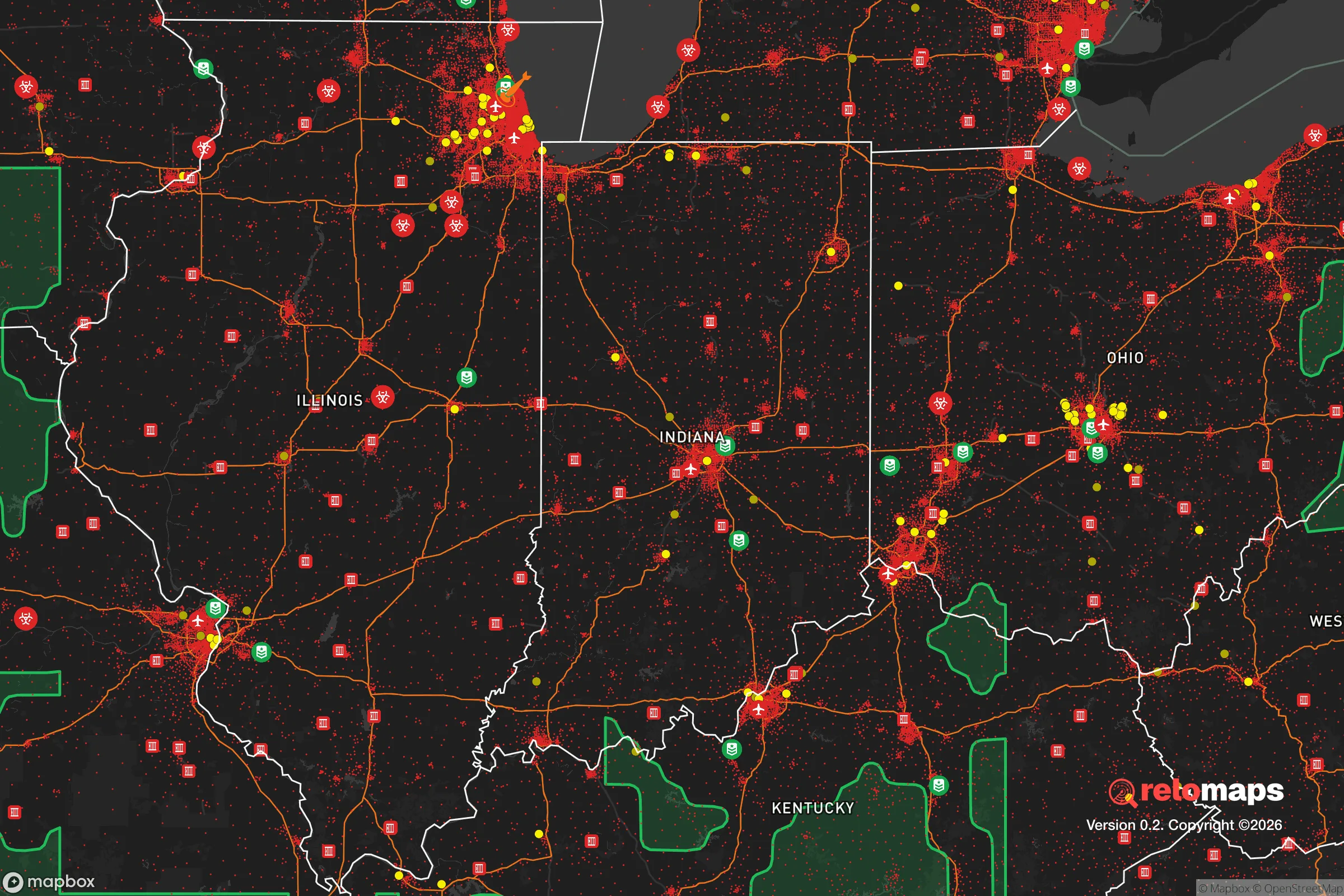
Important Note: For informational purposes only. This does not mean nothing bad ever happens in the green zones. Please use common sense. This is based on public data and modeled with AI. We tried to take a conservative approach but mistakes happen. We update this regularly as new information becomes available.
Solar Generator Recommendations
Backup power matters more here than in safer locations. We've picked three solar generators across budgets and capacity tiers — start with the budget unit if you only need a few essentials, or step up if you want to run a fridge and HVAC for days at a time.

Jackery Portable Power Station Explorer 300
Budget OptionPower on the Go: Weighing only 11 lbs, it's convenient to set up and store with book-sized foldable solar panels

BLUETTI Portable Power Station AC180
Designed for both indoor and outdoor scenarios, AC180 is highly capable as it has a robost capacity and continuous output power.

EF ECOFLOW DELTA Pro Ultra Power Station
Upgraded PickEcoFlow DELTA Pro Ultra is a whole-home energy system designed to grow with your family. Integrated with the Smart Home Panel 2, it scales to meet your evolving energy needs — keeping your home powered, intelligent, and secure through every stage of life.
We earn a commission, at no additional cost to you.
Strategic Assessment Analysis
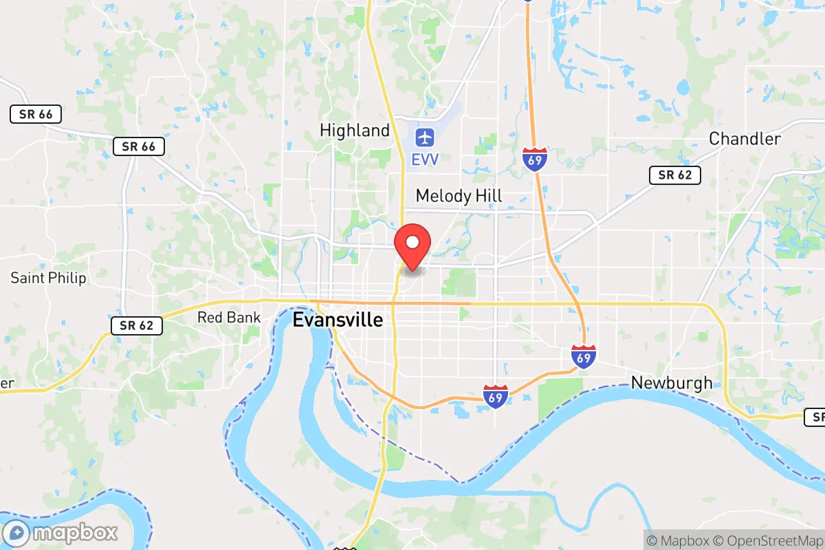
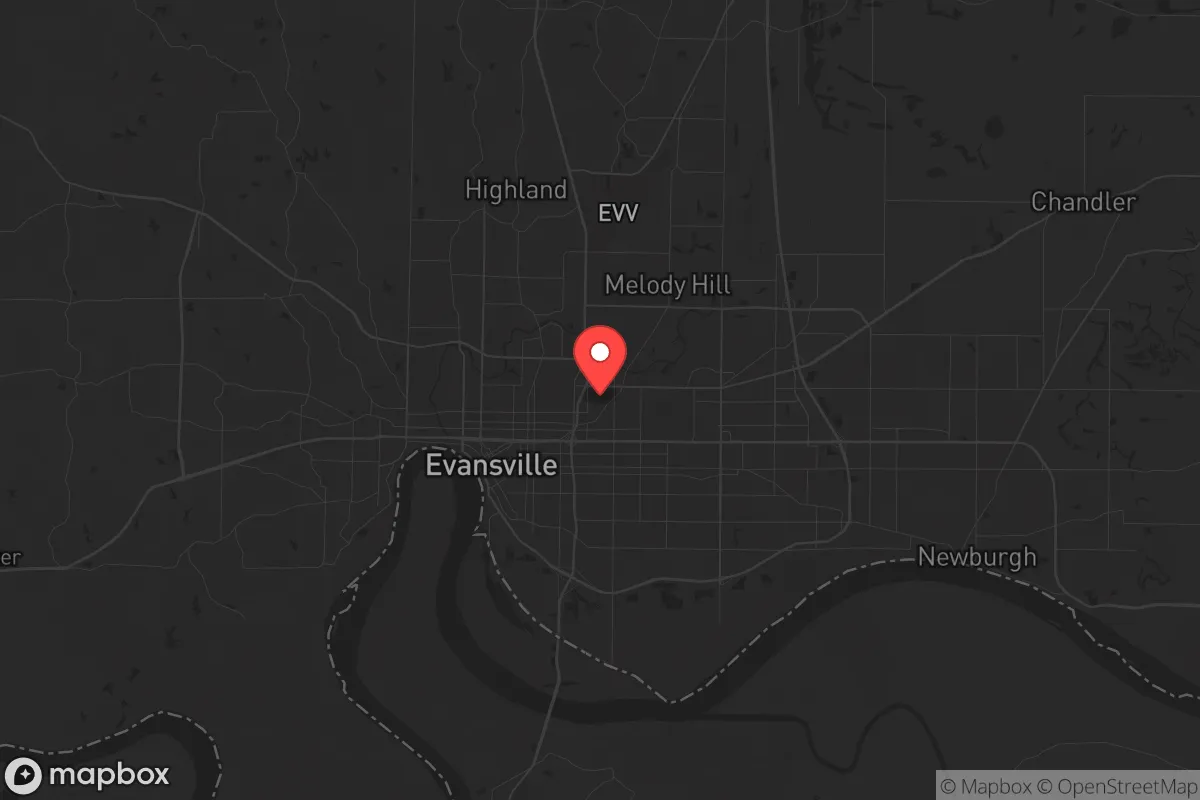
Evansville, Indiana, offers a surprisingly resilient strategic position for those looking to put distance between themselves and the most volatile coastal and urban collapse zones, while still maintaining access to critical infrastructure. Nestled on a sweeping bend of the Ohio River in the state’s southwestern corner, this mid-sized city of roughly 115,000 sits far enough from the nation’s most obvious target corridors—Chicago, St. Louis, Nashville, and Louisville are all 2–3 hours out—to provide a meaningful buffer against the immediate shockwaves of a major event. For the prepper or survivalist weighing relocation, Evansville’s combination of river access, agricultural adjacency, and relative obscurity on the national radar makes it a place worth a serious, boots-on-the-ground look.
Geographic position and natural advantages for long-term survival
Evansville’s primary strategic asset is its location within the Ohio River Valley, a region that has historically served as a natural transportation corridor and a breadbasket. The city sits at the confluence of the Ohio and Pigeon Creeks, with the river providing a reliable, year-round water source that is far less prone to the catastrophic droughts that plague the western half of the country. The surrounding terrain is mostly flat to gently rolling, with deep, fertile soils that support corn, soybeans, and livestock operations within a 20-mile radius. This is not mountainous country, so you won’t get the natural defensibility of a ridge line, but the lack of steep terrain means easier movement, simpler road maintenance, and more arable land per square mile. The climate is humid continental—hot summers, cold winters—but it avoids the extremes of the Great Plains or the Deep South. Annual precipitation averages around 45 inches, which is enough to sustain rain-fed agriculture without the constant flooding risk of the Mississippi Delta. For a relocator thinking about self-sufficiency, the ability to drill a well, plant a garden, and harvest rainwater here is far more realistic than in the arid West or the over-regulated Northeast.
Risks, exposures, and proximity to fallout-relevant landmarks
No location is a fortress, and Evansville has its share of vulnerabilities that a serious prepper must weigh. The most obvious risk is the Ohio River itself: while it provides water and transport, it also brings a genuine flood hazard. The city has a history of major floods, most notably in 1937 when the river crested at over 47 feet, inundating large portions of the city and surrounding lowlands. Modern levees and floodwalls, built by the U.S. Army Corps of Engineers, provide protection up to roughly the 100-year flood level, but a catastrophic failure or a 500-year event would still threaten the downtown core and riverfront neighborhoods. Any property search should prioritize elevation above the 400-foot contour line. Beyond hydrology, the area’s proximity to the Ohio River’s industrial corridor is a double-edged sword. Upstream, there are chemical plants, refineries, and coal-fired power plants—including the Gibson Generating Station, one of the largest coal plants in the country, about 30 miles east. A major industrial accident or a deliberate attack on that infrastructure could release toxic plumes or disrupt the power grid for weeks. On the plus side, Evansville is not near any major military bases, nuclear weapons storage sites, or high-value government targets. The nearest obvious fallout-relevant landmark is the Fort Campbell Army base, about 90 miles south in Kentucky, which is a potential target but far enough that a ground-level detonation wouldn’t directly affect Evansville. The city’s low national profile is actually a strength: it’s not on any likely first-strike list.
Practical resilience for a relocator: food, water, energy, and defensibility
For the individual or family looking to establish a resilient household, Evansville offers a surprisingly workable baseline. The city’s water supply comes from the Ohio River, treated by the Evansville Water & Sewer Utility, which serves about 200,000 people. In a grid-down scenario, the river itself is a backup source, but you’ll need your own filtration and pumping capability—the water is heavily silted and carries agricultural runoff. Well water is an option in the surrounding rural areas, with typical depths of 50–150 feet, but you’ll want to test for nitrates and industrial contaminants. Food security is a strong point: the region is part of the Corn Belt, and within a 30-minute drive you can find dozens of farms, farmers’ markets, and U-pick operations. The local grocery infrastructure is decent, with multiple chains (Kroger, Schnucks, Aldi) and a growing number of bulk-food stores. For long-term storage, the climate is humid, so you’ll need proper sealing and pest control—mold and weevils are a real issue. Energy reliability is average. The local utility, CenterPoint Energy, provides natural gas and electricity, with the grid fed by coal, natural gas, and a small amount of solar. Power outages happen during ice storms and summer thunderstorms, but they’re usually restored within hours, not days. For off-grid capability, solar panels are viable—the area gets about 4.5 peak sun hours per day—but you’ll need battery storage to handle the cloudy winter months. Defensibility is the weakest link. Evansville is flat, with open terrain and a sprawling suburban footprint. There are no natural chokepoints or high ground. A determined group could move through the area easily. The best strategy is to locate on the outskirts—north or east of the city, away from the river—where you can have a few acres, a good line of sight, and neighbors who are likely to be like-minded. The local gun culture is strong, with several ranges and gun shops, and Indiana’s permitless carry law (effective July 2022) means you can arm yourself without bureaucratic hassle. The Vanderburgh County Sheriff’s Office is professional but understaffed, with about 120 sworn deputies for a county of 180,000. In a crisis, you cannot count on rapid law enforcement response.
The overall strategic picture for Evansville is one of moderate resilience with clear trade-offs. It is not a hardened redoubt—you won’t find mountain passes, remote valleys, or a self-sufficient community of like-minded preppers. What you will find is a solid, middle-American city with access to water, food, and energy, situated far enough from the most obvious collapse triggers to give you a fighting chance. The biggest risks are flood and industrial accident, both of which can be mitigated with smart property selection and a good emergency plan. For the conservative relocator who wants to stay within a few hours of major medical care and supply chains, but who also wants to be out of the blast radius of the coastal megacities, Evansville deserves a serious look. It’s not a bug-out location—it’s a live-your-life location with a realistic prepper overlay. If you’re willing to put in the work on water filtration, food storage, and perimeter awareness, this bend in the Ohio River could serve you well when the world gets ugly.
* Values derived from national, state, county, city and local statistics and may differ in a specific area. Last updated: 2026-04-22T11:04:13.000Z
Narrative content on this page is AI-generated and may contain mistakes. Verify any details that matter before acting on them.
ReloMaps may earn a commission from affiliate links at no extra cost to you.