
Photo: Wikipedia
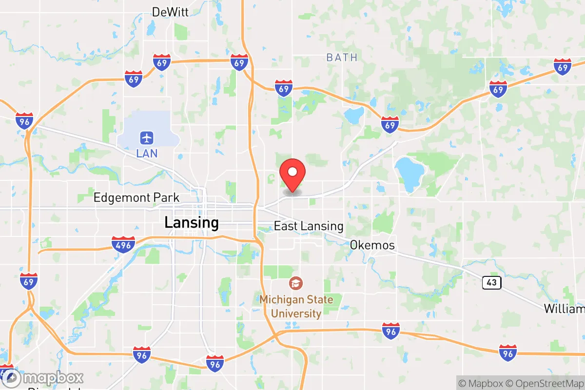
Demographics of East Lansing, MI
Affluence Level in East Lansing, MI
A below-average socioeconomic profile. Incomes, home values, and educational attainment trail the U.S., with higher poverty and unemployment.
People of East Lansing, MI
The people of East Lansing, Michigan, today number 45,394, forming a dense, highly educated college town dominated by Michigan State University. With 67.4% of adults holding a bachelor’s degree or higher, the population is notably white (71.9%) but includes significant minority communities: 7.6% Black, 6.5% East/Southeast Asian, 6.3% Hispanic, and 2.6% Indian (subcontinent). The city’s identity is shaped by a transient student population, a stable professional class, and distinct neighborhoods that reflect its layered settlement history.
How the city was settled and grew
East Lansing was not a pioneer-era settlement but a planned community born from the 1855 founding of Michigan Agricultural College (now Michigan State University). The original population was overwhelmingly white, native-born, and rural—farmers’ sons and faculty from the Midwest. The first residential neighborhood, Collegeville (centered on Abbott Road), was built in the 1880s to house faculty and staff, with modest wood-frame homes on large lots. The 1907 incorporation of the city as “East Lansing” was driven by a desire to control liquor sales near campus, reflecting the temperance-minded, Protestant character of the early residents.
Through the 1920s, the Oakwood neighborhood (south of Grand River Avenue) filled with middle-class families, many employed by the college or the Lansing-area automotive plants. The post-World War II GI Bill brought a surge of veterans and their families, spurring the development of Bailey (north of Burcham Drive) and Hawk’s Nest (near Harrison Road) with ranch-style homes. These areas remained overwhelmingly white through the 1960s, as restrictive covenants and informal practices limited Black settlement to Lansing’s west side.
Modern era (post-1965)
The 1965 Hart-Cellar Act and the Civil Rights movement began reshaping East Lansing’s demographics. The university actively recruited international students and faculty, creating the first significant Asian and Indian populations. The Cherry Hill neighborhood (east of Hagadorn Road) became a landing point for East/Southeast Asian graduate students and professionals, drawn by affordable duplexes and proximity to campus. By 1990, the Asian share had reached 5%, concentrated in this area.
Domestic in-migration also shifted. Black residents, previously limited to Lansing, began moving into East Lansing’s Glencairn neighborhood (south of Lake Lansing Road) in the 1970s and 1980s, attracted by the city’s liberal reputation and good schools. The Hispanic population grew more slowly, settling in the Park District (near Valley Court Park) among student rentals and older homes. The Indian subcontinent community, largely professionals in engineering and medicine, clustered in the Whitehills area (northwest of campus), where larger homes suited extended families. Today, these neighborhoods remain distinct: Cherry Hill is 15% East/Southeast Asian, Glencairn is 12% Black, and Whitehills has an 8% Indian share, according to 2020 census tract data.
The future
The population is slowly diversifying but not homogenizing. The white share dropped from 79% in 2010 to 71.9% in 2024, driven by growth in East/Southeast Asian (from 4.5% to 6.5%) and Indian (from 1.8% to 2.6%) communities. The foreign-born share rose from 5.8% to 7.2% over the same period, with most new arrivals being international students and tech workers. Hispanic growth has been modest (5.1% to 6.3%), while the Black share has plateaued. The city is tribalizing into distinct enclaves: Cherry Hill and Whitehills are becoming denser ethnic clusters, while Bailey and Oakwood remain 85% white. The next decade will likely see continued growth in the Asian and Indian populations, driven by MSU’s global recruitment and the Lansing region’s tech sector, but the student churn (40% of residents are under 25) prevents deep assimilation. The city will remain a liberal, university-centric island in a conservative state.
For a conservative-leaning mover, East Lansing is becoming a more diverse but balkanized community, where neighborhood choice strongly determines social environment. The city’s high education levels and transient population create a tolerant but unstable social fabric—ideal for those who value intellectual energy and diversity, but challenging for those seeking long-term community roots or political alignment with the surrounding region.
* Values derived from national, state, county, city and local statistics and may differ in a specific area. Last updated: 2026-05-03T06:45:08.000Z
Narrative content on this page is AI-generated and may contain mistakes. Verify any details that matter before acting on them.
ReloMaps may earn a commission from affiliate links at no extra cost to you.