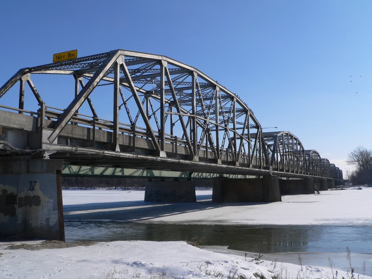
Photo: Wikipedia
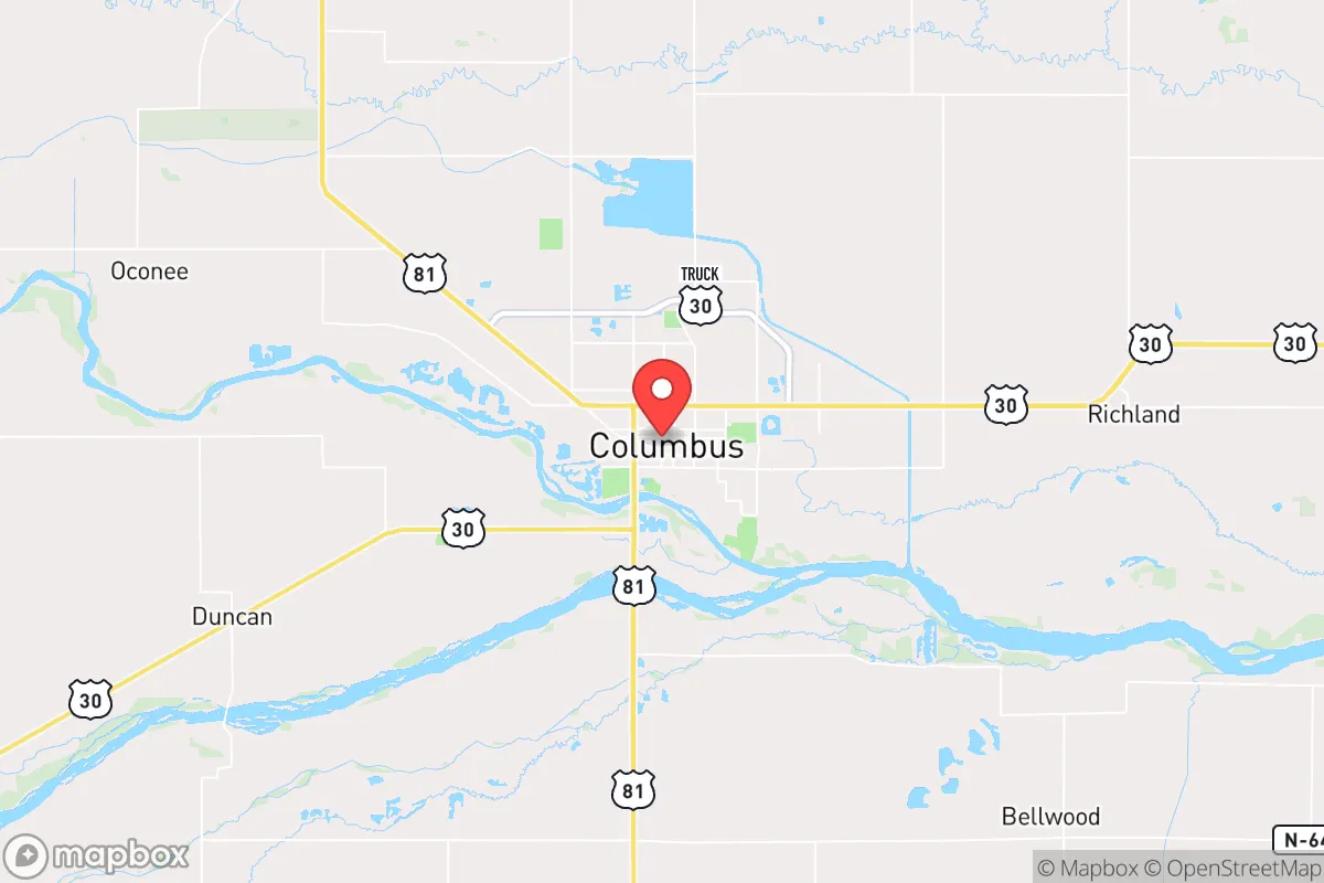
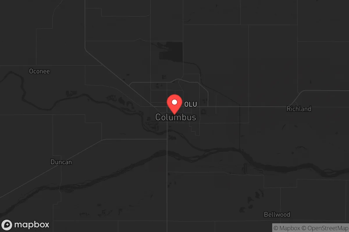
Strategic Assessment of Columbus, NE
Workable tactical position. Some exposure to population density or targets, but generally defensible in a crisis.
What does the Strategic Assessment tell us?
Our Strategic Assessment grades tactical survivability of an area. Major population centers, military targets, fallout zones, natural disasters, and border exposure all drive risk — lower exposure means a more defensible position in a crisis.
This is heavily inspired by Joel Skousen's Strategic Relocation book. Highly recommended you checkout the book ($)What does this tell us?
Our Strategic Assessment grades tactical survivability of an area. Major population centers, military targets, fallout zones, natural disasters, and border exposure all drive risk — lower exposure means a more defensible position in a crisis.
This is heavily inspired by Joel Skousen's Strategic Relocation book. Highly recommended you checkout the book ($)Strategic Pillars

Key Distances
Regional Safe Places
Below is our recommended "safe zones" in Nebraska and the surrounding area based on our strategic heuristics. For most people, it's unrealistic to live in a “safe zone” full-time due to work, family or other personal reasons. They tend to be more rural. However, many of these areas are perfect for second homes and retreat properties that double as a vacation home or even a short-term rental.
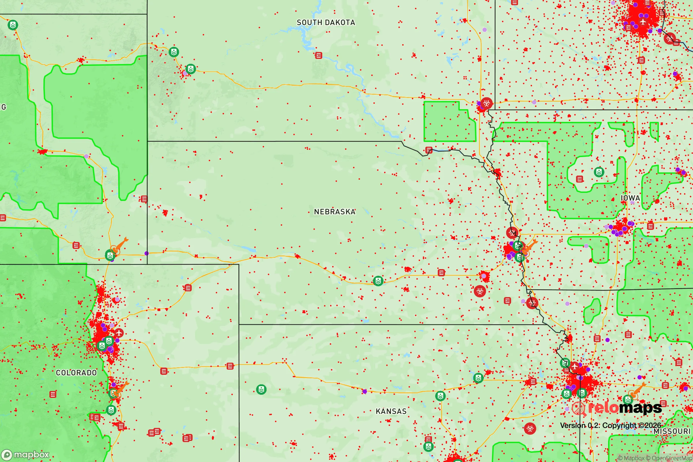
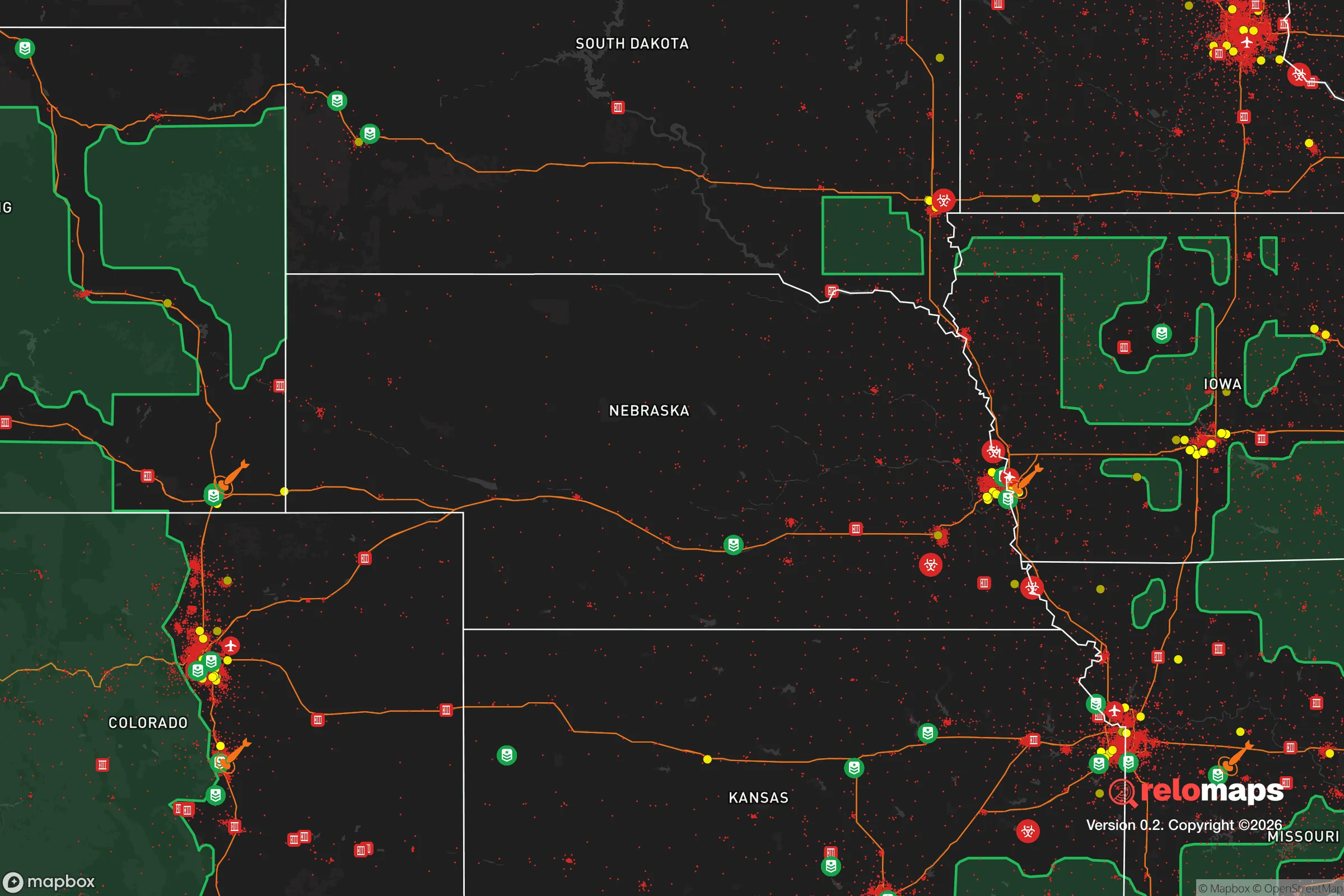
Important Note: For informational purposes only. This does not mean nothing bad ever happens in the green zones. Please use common sense. This is based on public data and modeled with AI. We tried to take a conservative approach but mistakes happen. We update this regularly as new information becomes available.
Solar Generator Recommendations
Backup power matters more here than in safer locations. We've picked three solar generators across budgets and capacity tiers — start with the budget unit if you only need a few essentials, or step up if you want to run a fridge and HVAC for days at a time.

Jackery Portable Power Station Explorer 300
Budget OptionPower on the Go: Weighing only 11 lbs, it's convenient to set up and store with book-sized foldable solar panels

BLUETTI Portable Power Station AC180
Designed for both indoor and outdoor scenarios, AC180 is highly capable as it has a robost capacity and continuous output power.

EF ECOFLOW DELTA Pro Ultra Power Station
Upgraded PickEcoFlow DELTA Pro Ultra is a whole-home energy system designed to grow with your family. Integrated with the Smart Home Panel 2, it scales to meet your evolving energy needs — keeping your home powered, intelligent, and secure through every stage of life.
We earn a commission, at no additional cost to you.
Strategic Assessment Analysis
Columbus, Nebraska, sits as a quietly strategic node in the Great Plains, offering a blend of agricultural self-sufficiency and industrial resilience that appeals to those planning for long-term stability. Its location along the Loup and Platte Rivers provides a natural water buffer, while its distance from major metropolitan targets—roughly 80 miles west of Omaha and 90 miles northwest of Lincoln—places it outside the immediate blast and fallout zones of a major urban strike. For a relocator with a prepper or survivalist mindset, Columbus represents a middle-ground option: not so remote that supply chains vanish, but far enough from population centers to avoid the worst of civic unrest or cascading infrastructure failures.
Geographic position and natural advantages for long-term security
Columbus benefits from being at the confluence of the Loup and Platte Rivers, which provides a reliable freshwater source—critical for both daily life and agricultural independence. The surrounding Platte River Valley is flat, fertile, and irrigated, meaning local food production is not a theoretical exercise but a current reality. The area sits within Nebraska’s “Tri-Cities” region (Columbus, Grand Island, Kearney), which forms a decentralized economic corridor rather than a single choke point. This dispersion reduces the risk of a single event crippling the entire region’s logistics. The terrain is open prairie with few natural barriers, which is a double-edged sword: it offers clear lines of sight for defense but limited cover for concealment. For a relocator, the key advantage is the abundance of groundwater and surface water, combined with a climate that supports three-season gardening and moderate livestock grazing. Winters are cold but manageable, and the area rarely sees the extreme weather events (hurricanes, wildfires, earthquakes) that plague other regions. The nearest major military or strategic target is Offutt Air Force Base near Omaha, which is far enough away that a direct strike on it would not immediately threaten Columbus, though fallout patterns would depend on wind direction.
Risks, exposures, and proximity to fallout-relevant landmarks
The primary risk for Columbus is its position within the broader Nebraska agricultural corridor, which includes grain elevators, fertilizer plants, and ethanol facilities. A major industrial accident or targeted disruption at one of these sites could create localized hazards. The city itself hosts a major ethanol plant and a large Cargill facility, both of which are potential targets for sabotage or accident during civil unrest. Additionally, the nearby Loup River hydroelectric dam provides power but also represents a single point of failure for the local grid. On the plus side, Columbus is not near any major military bases, nuclear power plants, or high-value government installations that would make it a primary target in a conflict. The nearest nuclear facility is the Fort Calhoun plant (now decommissioned) near Omaha, and the closest active reactor is Cooper Nuclear Station near Brownville, about 100 miles southeast. Fallout from a strike on Offutt or a major Omaha target would likely pass north or south of Columbus depending on prevailing winds, but plume modeling suggests the city is in a lower-risk zone for direct fallout compared to communities directly east or west along the Platte. The biggest exposure is probably the Union Pacific rail line that runs through town—a critical freight artery that could become a target for disruption during unrest, potentially stranding shipments or drawing unwanted attention.
Practical resilience for a relocator: food, water, energy, and defensibility
For someone serious about self-sufficiency, Columbus offers a strong baseline. The local water supply is drawn from the Platte River alluvial aquifer, which is both abundant and shallow—meaning well drilling is feasible for those with property outside city limits. The city’s municipal water system is well-maintained, but a prepper should plan for a private well or rainwater catchment as a backup. Food resilience is excellent: the surrounding county (Platte) is among the top in Nebraska for corn and soybean production, and there are numerous small farms selling direct to consumers. The Columbus Farmers Market operates seasonally, and local butchers and co-ops provide access to meat and dairy without relying on national supply chains. For energy, the Loup River Public Power District provides reliable electricity, but the grid is interconnected with the larger Southwest Power Pool, meaning regional blackouts could affect Columbus. Solar potential is good—Nebraska averages over 200 sunny days per year—and there are no restrictive HOA covenants in most rural areas that would prevent panel installation. Defensibility is moderate: the city itself is spread out with a low population density (about 24,000 people), making it hard to control but also hard to defend as a single unit. The best strategy for a relocator is to secure property on the outskirts, ideally with a clear view of approach roads and access to the river for escape routes. The local law enforcement presence is small but professional, and the county sheriff’s office has a reputation for being responsive. However, during a major crisis, state police and National Guard resources would likely be pulled toward Omaha and Lincoln first, leaving Columbus to rely on local mutual aid.
Overall, Columbus presents a balanced strategic picture for the conservative-minded relocator who wants to be prepared but not isolated. It is not a bug-out location in the mountains—it is a working agricultural town with real infrastructure and real vulnerabilities. The trade-off is clear: you gain access to water, food, and a community that still values self-reliance and neighborly cooperation, but you accept the risks of being near rail lines, industrial agriculture, and a regional power grid. For someone looking to ride out a period of national instability—whether from economic collapse, civil unrest, or a limited conflict—Columbus offers a viable base of operations with a low probability of being directly targeted. The key is to arrive with a plan: secure a water source, establish food storage and production capacity, and build relationships with local farmers and tradespeople before a crisis hits. The area’s greatest strength is its ordinariness—it is not a prepper enclave, which means it flies under the radar. That anonymity, combined with its natural advantages, makes it a solid choice for those who want to be ready without drawing attention.
* Values derived from national, state, county, city and local statistics and may differ in a specific area. Last updated: 2026-04-21T16:45:48.000Z
Narrative content on this page is AI-generated and may contain mistakes. Verify any details that matter before acting on them.
ReloMaps may earn a commission from affiliate links at no extra cost to you.