Photo: Wikipedia
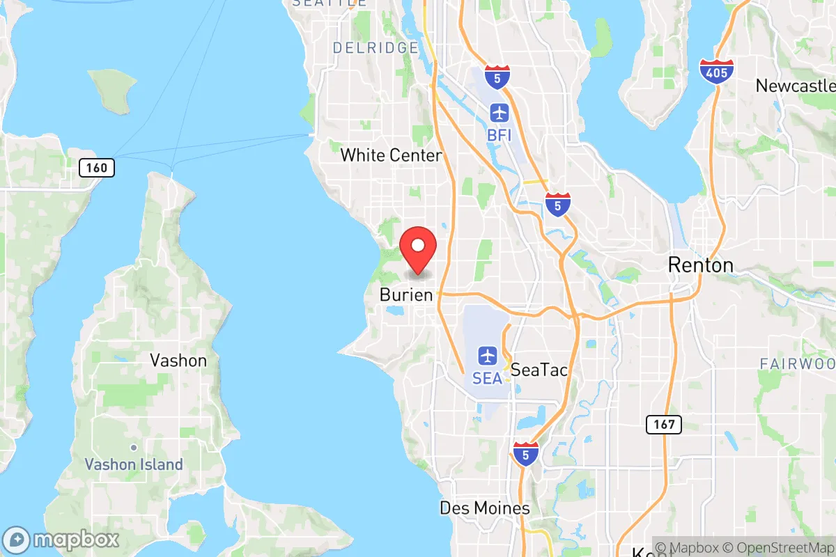
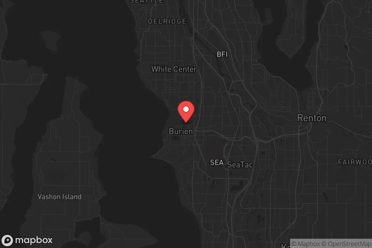
Strategic Assessment of Burien, WA
High tactical risk. This location is likely close to major population centers, strategic targets, or sits in a high-disaster corridor. A retreat property and careful exit planning is required.
What does the Strategic Assessment tell us?
Our Strategic Assessment grades tactical survivability of an area. Major population centers, military targets, fallout zones, natural disasters, and border exposure all drive risk — lower exposure means a more defensible position in a crisis.
This is heavily inspired by Joel Skousen's Strategic Relocation book. Highly recommended you checkout the book ($)What does this tell us?
Our Strategic Assessment grades tactical survivability of an area. Major population centers, military targets, fallout zones, natural disasters, and border exposure all drive risk — lower exposure means a more defensible position in a crisis.
This is heavily inspired by Joel Skousen's Strategic Relocation book. Highly recommended you checkout the book ($)Strategic Pillars

Key Distances
Regional Safe Places
Below is our recommended "safe zones" in Washington and the surrounding area based on our strategic heuristics. For most people, it's unrealistic to live in a “safe zone” full-time due to work, family or other personal reasons. They tend to be more rural. However, many of these areas are perfect for second homes and retreat properties that double as a vacation home or even a short-term rental.


Important Note: For informational purposes only. This does not mean nothing bad ever happens in the green zones. Please use common sense. This is based on public data and modeled with AI. We tried to take a conservative approach but mistakes happen. We update this regularly as new information becomes available.
Solar Generator Recommendations
Backup power matters more here than in safer locations. We've picked three solar generators across budgets and capacity tiers — start with the budget unit if you only need a few essentials, or step up if you want to run a fridge and HVAC for days at a time.

Jackery Portable Power Station Explorer 300
Budget OptionPower on the Go: Weighing only 11 lbs, it's convenient to set up and store with book-sized foldable solar panels

BLUETTI Portable Power Station AC180
Designed for both indoor and outdoor scenarios, AC180 is highly capable as it has a robost capacity and continuous output power.

EF ECOFLOW DELTA Pro Ultra Power Station
Upgraded PickEcoFlow DELTA Pro Ultra is a whole-home energy system designed to grow with your family. Integrated with the Smart Home Panel 2, it scales to meet your evolving energy needs — keeping your home powered, intelligent, and secure through every stage of life.
We earn a commission, at no additional cost to you.
Strategic Assessment Analysis
Burien, Washington, presents a mixed strategic picture for the conservative prepper. Its proximity to Seattle offers economic access, but that same closeness is a major liability in a collapse scenario. The city’s resilience is undermined by its position within a politically volatile region, its exposure to major transportation and infrastructure targets, and its limited natural defensibility. For a relocator prioritizing long-term survival, Burien is best understood as a high-risk, moderate-reward location that demands a clear-eyed assessment of its vulnerabilities.
Geographic position and natural advantages for a prepper
Burien sits on the eastern shore of Puget Sound, roughly 10 miles south of downtown Seattle. Its location provides moderate natural advantages. The Puget Sound itself offers a potential water source and a barrier against ground-based threats from the west, but it also limits escape routes. The city is flanked by the Duwamish River to the north and the Green River to the south, both of which could serve as water sources but also as flood hazards. The area’s topography is relatively flat near the coast, rising gently toward the east. This lack of significant elevation or natural chokepoints makes Burien less defensible than a mountainous or inland location. The climate is maritime—cool, wet winters and mild, dry summers—which supports year-round gardening but also creates persistent mold and dampness issues for long-term food storage. The region’s volcanic soil is fertile, but the growing season is short, and the heavy reliance on imported food in the Pacific Northwest means local agriculture is insufficient to sustain the population in a crisis.
Risks, exposures, and proximity to fallout-relevant landmarks
Burien’s primary strategic weakness is its proximity to high-value targets. Seattle-Tacoma International Airport (Sea-Tac) lies directly adjacent to Burien’s eastern border, making it a likely target for airstrikes, EMP attacks, or civil unrest during a major conflict. The Port of Seattle, a major shipping hub, is just north. The city is also within the blast and fallout radius of the Puget Sound Naval Shipyard in Bremerton (about 20 miles west) and Joint Base Lewis-McChord (about 30 miles south). In a nuclear exchange, Burien would face significant fallout exposure from strikes on these military installations. Additionally, the I-5 corridor, which runs through the eastern edge of Burien, is a critical evacuation and supply route that would become a chokepoint during any disaster. Civic unrest in Seattle would likely spill south into Burien, as the city’s demographics and political leanings are more moderate but still influenced by the regional progressive culture. The 2020 protests and riots in Seattle demonstrated how quickly instability can spread to surrounding suburbs. For a conservative relocator, the risk of being caught in a cascading urban crisis is high.
Practical resilience for a relocator: food, water, energy, and defensibility
For a prepper, Burien’s practical resilience is below average. Water is the most critical concern. The city relies on the Seattle Public Utilities system, which draws from the Cedar and Tolt rivers. In a prolonged grid-down scenario, this system would fail, and residents would need to rely on rainwater catchment or nearby natural sources like the Duwamish and Green Rivers. However, these rivers are heavily polluted with industrial runoff and require extensive filtration. Food security is also weak. Burien has limited agricultural land; most residential lots are small. Community gardens exist but are insufficient for a population of over 50,000. The city’s food supply is almost entirely dependent on trucking and the regional distribution network centered on Sea-Tac. In a crisis, grocery shelves would empty within days. Energy resilience is poor—the grid is vulnerable to earthquakes (the Cascadia Subduction Zone) and cyberattacks. Solar potential is moderate but hampered by frequent cloud cover. Defensibility is the weakest point. Burien is a suburban grid of streets with few natural barriers. There are no defensible perimeters or natural chokepoints to control access. The city’s population density (about 4,000 people per square mile) means that in a collapse, you would be surrounded by neighbors competing for the same limited resources. The best strategy for a relocator would be to secure a property with a well, solar panels, and a large garden, but such properties are rare and expensive in Burien.
The overall strategic picture for Burien is one of calculated risk. It offers proximity to jobs and services in a stable environment, but its location near major military and infrastructure targets, its dependence on fragile supply chains, and its lack of natural defensibility make it a poor choice for a long-term survival retreat. For a conservative prepper, Burien is best viewed as a temporary staging area—a place to build resources and networks before moving to a more secure inland location, such as the eastern slopes of the Cascades or the more remote areas of eastern Washington. If you are determined to stay, focus on hardening your home against civil unrest, stockpiling at least three months of supplies, and establishing a bug-out route east toward the mountains. Burien is not a fortress, but with careful planning, it can be a survivable outpost in a deteriorating world.
* Values derived from national, state, county, city and local statistics and may differ in a specific area. Last updated: 2026-04-21T11:01:26.000Z
Narrative content on this page is AI-generated and may contain mistakes. Verify any details that matter before acting on them.
ReloMaps may earn a commission from affiliate links at no extra cost to you.