 Popular
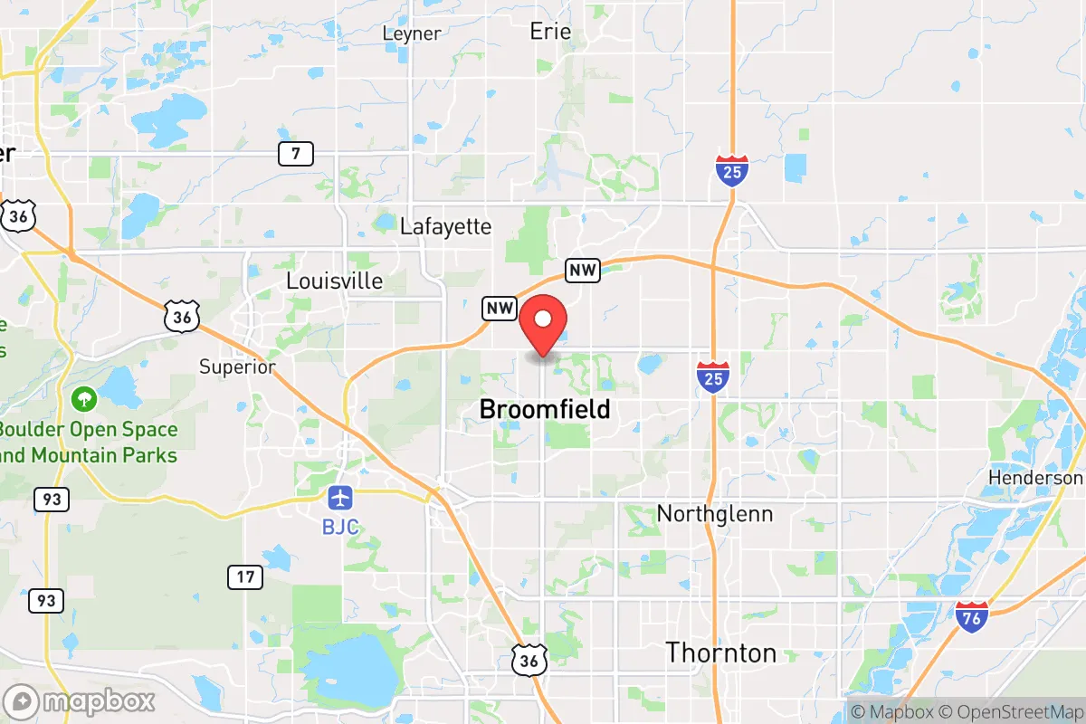

Photo: Wikipedia
Strategic Assessment of Broomfield, CO
Meaningful friction. Expect exposure to either population pressure, blast zones, or natural disaster risk. Consider buying a retreat property.
What does the Strategic Assessment tell us?
Our Strategic Assessment grades tactical survivability of an area. Major population centers, military targets, fallout zones, natural disasters, and border exposure all drive risk — lower exposure means a more defensible position in a crisis.
This is heavily inspired by Joel Skousen's Strategic Relocation book. Highly recommended you checkout the book ($)What does this tell us?
Our Strategic Assessment grades tactical survivability of an area. Major population centers, military targets, fallout zones, natural disasters, and border exposure all drive risk — lower exposure means a more defensible position in a crisis.
This is heavily inspired by Joel Skousen's Strategic Relocation book. Highly recommended you checkout the book ($)Strategic Pillars

Key Distances
Regional Safe Places
Below is our recommended "safe zones" in Colorado and the surrounding area based on our strategic heuristics. For most people, it's unrealistic to live in a “safe zone” full-time due to work, family or other personal reasons. They tend to be more rural. However, many of these areas are perfect for second homes and retreat properties that double as a vacation home or even a short-term rental.


Important Note: For informational purposes only. This does not mean nothing bad ever happens in the green zones. Please use common sense. This is based on public data and modeled with AI. We tried to take a conservative approach but mistakes happen. We update this regularly as new information becomes available.
Solar Generator Recommendations
Backup power matters more here than in safer locations. We've picked three solar generators across budgets and capacity tiers — start with the budget unit if you only need a few essentials, or step up if you want to run a fridge and HVAC for days at a time.

Jackery Portable Power Station Explorer 300
Budget OptionPower on the Go: Weighing only 11 lbs, it's convenient to set up and store with book-sized foldable solar panels

BLUETTI Portable Power Station AC180
Designed for both indoor and outdoor scenarios, AC180 is highly capable as it has a robost capacity and continuous output power.

EF ECOFLOW DELTA Pro Ultra Power Station
Upgraded PickEcoFlow DELTA Pro Ultra is a whole-home energy system designed to grow with your family. Integrated with the Smart Home Panel 2, it scales to meet your evolving energy needs — keeping your home powered, intelligent, and secure through every stage of life.
We earn a commission, at no additional cost to you.
Strategic Assessment Analysis
Broomfield, Colorado, sits in a precarious but potentially advantageous position for those prioritizing long-term resilience and self-sufficiency. Strategically located between Denver and Boulder along the Front Range, it offers a blend of suburban infrastructure and access to high-altitude escape routes, but its proximity to major population centers introduces significant vulnerabilities. For a relocator with a prepper mindset, Broomfield is less a final redoubt and more a staging ground—a place to build a network and prepare for a potential retreat to more defensible terrain when the situation demands it.
Geographic position and natural advantages for long-term survival
Broomfield’s geography is a double-edged sword, but its natural advantages are worth noting. The city sits at roughly 5,400 feet elevation, offering a cooler, drier climate that reduces the risk of vector-borne diseases and mold-related infrastructure decay compared to lower-elevation areas. The nearby Rocky Mountain foothills, particularly the Indian Peaks and James Peak Wilderness areas, provide a potential bug-out corridor west toward the Continental Divide. The South Platte River and Boulder Creek watersheds run through or near the city, offering surface water sources—though these are heavily managed and subject to drought. The area’s prevailing westerly winds mean that fallout from a Denver-centric event (nuclear or industrial) would likely blow east, sparing Broomfield the worst of immediate contamination. The city’s position on the Denver-Boulder turnpike also gives quick access to I-25 and I-70, which could be used for evacuation or supply runs, though these same routes would become choke points during a crisis.
Risks, exposures, and proximity to fallout-relevant landmarks
The biggest liability for Broomfield is its location in the bullseye of Colorado’s urban corridor. It is less than 15 miles from Denver International Airport, a prime target for any strategic strike or terrorist event, and within 10 miles of the Rocky Flats National Wildlife Refuge, a former nuclear weapons plant that still carries residual contamination concerns. The city is also adjacent to the Boulder Valley, a hub for high-tech and biotech research that could attract civil unrest or targeted attacks. The Front Range’s population density—over 3 million people within a 50-mile radius—means that any mass casualty event (pandemic, EMP, economic collapse) would trigger a massive outflow of desperate people, and Broomfield’s position on major highways would make it a funnel point. Wildfire risk is moderate but growing; the 2021 Marshall Fire, which destroyed over 1,000 homes in nearby Superior and Louisville, demonstrated that suburban sprawl is not immune to fast-moving disasters. Water rights are another concern: Broomfield relies on a mix of Denver Water and local reservoirs, and in a prolonged drought or infrastructure failure, the city would be at the mercy of upstream allocations.
Practical resilience for a relocator: food, water, energy, and defensibility
For a single individual or family looking to hunker down, Broomfield offers some practical advantages but requires significant preparation. The city has a moderate but not robust local food system: there are a handful of community gardens and farmers’ markets, but the area is not agricultural—most food is trucked in from the Eastern Plains or California. A relocator should plan for at least a 90-day food supply, with a focus on freeze-dried and bulk staples, and consider a greenhouse or hydroponic setup for fresh produce. Water is the bigger challenge. The city’s municipal supply comes from the Gross Reservoir and the South Platte, but household wells are rare within city limits, so a backup plan—rainwater catchment (legal in Colorado with restrictions), a Berkey filter, or a deep well on adjacent rural property—is essential. Energy resilience is decent: Broomfield is served by Xcel Energy, which has a mixed grid with some renewables, but a solar panel system with battery storage (e.g., Tesla Powerwall) is highly recommended given the area’s 300+ days of sun per year. Natural gas is widely available for heating, but a backup propane tank or wood stove is wise. Defensibility is the weak point. Broomfield is a suburban grid of cul-de-sacs and strip malls—not easily defensible against a determined mob or organized group. The city’s police force is competent but small (about 100 officers), and during a widespread event, response times would stretch thin. A better strategy is to use Broomfield as a base for building a community of like-minded individuals, then have a pre-planned bug-out location in the mountains—say, a cabin in Grand County or Park County—that is off the main highways and has its own water and power.
The overall strategic picture for Broomfield is one of calculated risk. It is not a survivalist paradise—it is a suburban city with all the vulnerabilities that entails—but it offers a unique combination of access, resources, and escape routes that a prepared relocator can leverage. The key is to treat Broomfield as a forward operating base, not a final destination. Build a network of trusted neighbors, stockpile supplies, and maintain a low profile. The city’s schools, healthcare (including the UCHealth Broomfield Hospital), and job market (with employers like Vail Resorts and Level 3 Communications) make it a viable place to live during stable times. But when the system cracks, the plan should be to move west, not to dig in. For the conservative prepper who wants to stay close to opportunity without being trapped in a urban kill zone, Broomfield is a solid choice—just don’t get comfortable.
* Values derived from national, state, county, city and local statistics and may differ in a specific area. Last updated: 2026-04-25T04:19:47.000Z
Narrative content on this page is AI-generated and may contain mistakes. Verify any details that matter before acting on them.
ReloMaps may earn a commission from affiliate links at no extra cost to you.