Photo: Wikipedia
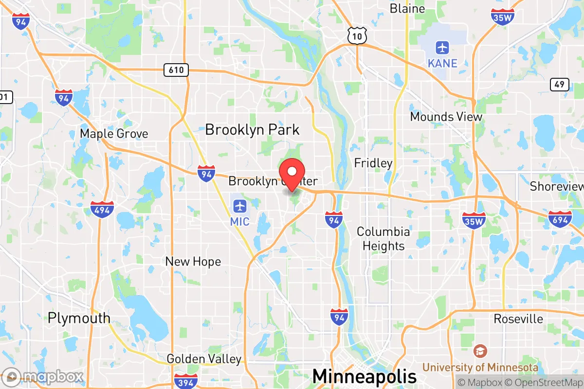
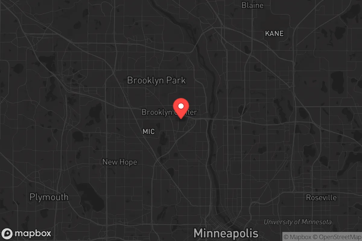
Strategic Assessment of Brooklyn Center, MN
Multiple tactical vulnerabilities. Population density, target proximity, or disaster risk are likely compounding. A retreat property and exit planning is required.
What does the Strategic Assessment tell us?
Our Strategic Assessment grades tactical survivability of an area. Major population centers, military targets, fallout zones, natural disasters, and border exposure all drive risk — lower exposure means a more defensible position in a crisis.
This is heavily inspired by Joel Skousen's Strategic Relocation book. Highly recommended you checkout the book ($)What does this tell us?
Our Strategic Assessment grades tactical survivability of an area. Major population centers, military targets, fallout zones, natural disasters, and border exposure all drive risk — lower exposure means a more defensible position in a crisis.
This is heavily inspired by Joel Skousen's Strategic Relocation book. Highly recommended you checkout the book ($)Strategic Pillars

Key Distances
Regional Safe Places
Below is our recommended "safe zones" in Minnesota and the surrounding area based on our strategic heuristics. For most people, it's unrealistic to live in a “safe zone” full-time due to work, family or other personal reasons. They tend to be more rural. However, many of these areas are perfect for second homes and retreat properties that double as a vacation home or even a short-term rental.


Important Note: For informational purposes only. This does not mean nothing bad ever happens in the green zones. Please use common sense. This is based on public data and modeled with AI. We tried to take a conservative approach but mistakes happen. We update this regularly as new information becomes available.
Solar Generator Recommendations
Backup power matters more here than in safer locations. We've picked three solar generators across budgets and capacity tiers — start with the budget unit if you only need a few essentials, or step up if you want to run a fridge and HVAC for days at a time.

Jackery Portable Power Station Explorer 300
Budget OptionPower on the Go: Weighing only 11 lbs, it's convenient to set up and store with book-sized foldable solar panels

BLUETTI Portable Power Station AC180
Designed for both indoor and outdoor scenarios, AC180 is highly capable as it has a robost capacity and continuous output power.

EF ECOFLOW DELTA Pro Ultra Power Station
Upgraded PickEcoFlow DELTA Pro Ultra is a whole-home energy system designed to grow with your family. Integrated with the Smart Home Panel 2, it scales to meet your evolving energy needs — keeping your home powered, intelligent, and secure through every stage of life.
We earn a commission, at no additional cost to you.
Strategic Assessment Analysis
Brooklyn Center, Minnesota, sits in a precarious strategic position that demands a clear-eyed assessment for anyone serious about resilience and preparedness. Located just northwest of Minneapolis, this inner-ring suburb offers the illusion of proximity to urban resources while being dangerously close to the epicenter of potential civil unrest, mass casualty events, and disaster fallout. For the conservative-leaning relocator—whether single or raising a family—the calculus here is not about comfort but about survivability. The area’s flat terrain, dense population, and reliance on fragile infrastructure create a high-risk environment that requires deliberate, hard-nosed planning to mitigate.
Geographic position and natural advantages for a prepper mindset
Brooklyn Center’s location at the confluence of the Mississippi River and Interstate 94 provides a double-edged sword for strategic relocation. On one hand, the Mississippi offers a reliable water source for filtration and transport, a critical asset in a grid-down scenario. The city’s position on the Anoka Sand Plain means relatively stable soils for digging shelters or root cellars, and the surrounding hardwood forests—though fragmented—offer cover and fuel. On the other hand, the area’s flat topography offers little natural defensibility. There are no hills, ridges, or chokepoints to slow a determined threat. The city’s 7.7 square miles are crisscrossed by major highways (I-94, I-694, and Highway 252), which act as arteries for both commerce and chaos. In a crisis, these roads become escape routes for panicked urbanites—or invasion corridors for looters. The proximity to the Mississippi River Valley does provide some microclimate buffering, with slightly milder winters than the open prairie, but the brutal Minnesota cold remains a primary survival challenge. For a prepper, the natural advantages here are marginal at best; the real value is in the water access and the potential to leverage the river as a barrier or supply line, not as a defensive stronghold.
Risks, exposures, and proximity to fallout-relevant landmarks
The most glaring risk for Brooklyn Center is its proximity to high-value, high-risk targets. The city lies less than 10 miles from the Minneapolis–Saint Paul International Airport (MSP), a major transportation hub that would be a primary target in any coordinated attack or national emergency. The nearby 3M headquarters in Maplewood and the numerous medical device manufacturers (Medtronic, Boston Scientific) in the metro area are potential targets for industrial sabotage or collateral damage from a larger event. The city itself is bisected by the BNSF Railway mainline, which carries hazardous materials—including crude oil and anhydrous ammonia—through residential neighborhoods. A derailment or sabotage event here could render large swaths of the area uninhabitable for weeks. Beyond industrial risks, the social fabric is fragile. Brooklyn Center gained national attention in 2021 after the police shooting of Daunte Wright, which sparked days of violent protests, arson, and looting. The city’s police department was effectively disbanded and replaced with a county contract, leaving a vacuum in law enforcement that preppers must account for. In a scenario of widespread civil unrest, this area would be a flashpoint, not a refuge. The dense population (over 30,000 people in a small area) means that any disease outbreak, supply chain disruption, or security breakdown will cascade rapidly. For a family or individual seeking a safe haven, the risk profile here is high—not from natural disasters, but from human-caused chaos and proximity to critical infrastructure that could become a liability.
Practical resilience for a relocator: food, water, energy, and defensibility
For those who choose to stay, practical resilience requires a boots-on-the-ground approach. Water is the most immediate concern. While the Mississippi River is a reliable source, it is also heavily polluted with agricultural runoff, industrial discharge, and sewage overflows. A high-quality filtration system (e.g., Berkey or a ceramic gravity filter) and a supply of purification tablets are non-negotiable. The city’s municipal water comes from the Mississippi, treated at the Fridley plant, but a power outage or contamination event would cut that supply instantly. Rainwater collection is feasible, but Minnesota’s cold winters freeze exposed barrels; underground cisterns or heated storage are necessary for year-round use. Food security is a challenge. The city has limited agricultural land—most lots are small, with postage-stamp yards. Community gardens exist but are vulnerable to looting. A serious prepper would need to rely on a combination of suburban gardening (raised beds, cold frames) and stockpiling. The nearby farmers’ markets in Brooklyn Park and Robbinsdale offer seasonal produce, but in a crisis, those will be stripped quickly. Energy resilience is possible but expensive. Solar panels on a south-facing roof can generate enough power for critical loads (fridge, lights, communications) if paired with a battery bank. However, the region’s frequent overcast skies and short winter days reduce solar output by 50-70% from November to February. A backup generator running on propane or natural gas is a better bet, but natural gas lines are vulnerable to earthquakes or sabotage. Defensibility is the weakest link. Brooklyn Center’s grid-like street layout, with few cul-de-sacs or natural barriers, makes it hard to secure a perimeter. A single-family home on a corner lot is a tactical nightmare. The best option is a property with a fenced backyard, reinforced doors, and a basement that can serve as a safe room. Neighborhood watch or mutual aid groups are essential—going it alone in this density is a recipe for being overwhelmed. The city’s proximity to the Northstar Commuter Rail line also means that a mass evacuation of Minneapolis could funnel thousands of people through the area, turning streets into chokepoints. Pre-positioning a bug-out vehicle with a full tank and a pre-planned route north toward St. Cloud or the Brainerd Lakes area is a wise hedge.
The overall strategic picture for Brooklyn Center is one of calculated risk with limited upside. It is not a place for the unprepared or the faint-hearted. The area’s advantages—water access, proximity to some resources, and a relatively stable climate—are outweighed by its vulnerabilities: dense population, proximity to high-value targets, fragile infrastructure, and a history of civil unrest. For a conservative-leaning relocator who values self-reliance and security, this location demands a high level of commitment to hardening, stockpiling, and community building. It is a location to be approached with eyes wide open, not as a retreat but as a forward operating base—one that requires constant vigilance and a clear exit strategy. If you are willing to invest the time, money, and effort, Brooklyn Center can be made to work, but it will never be a sanctuary. For most preppers, the smarter play is to look further north or west, where population density drops and natural defenses improve. Here, you are betting on your own preparedness to overcome the environment—and that is a bet you must be ready to win.
* Values derived from national, state, county, city and local statistics and may differ in a specific area. Last updated: 2026-04-24T14:34:53.000Z
Narrative content on this page is AI-generated and may contain mistakes. Verify any details that matter before acting on them.
ReloMaps may earn a commission from affiliate links at no extra cost to you.