
Photo: Wikipedia
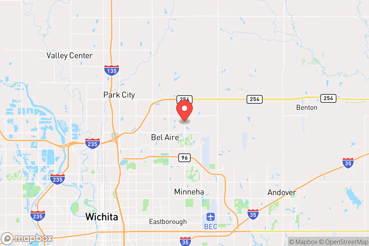
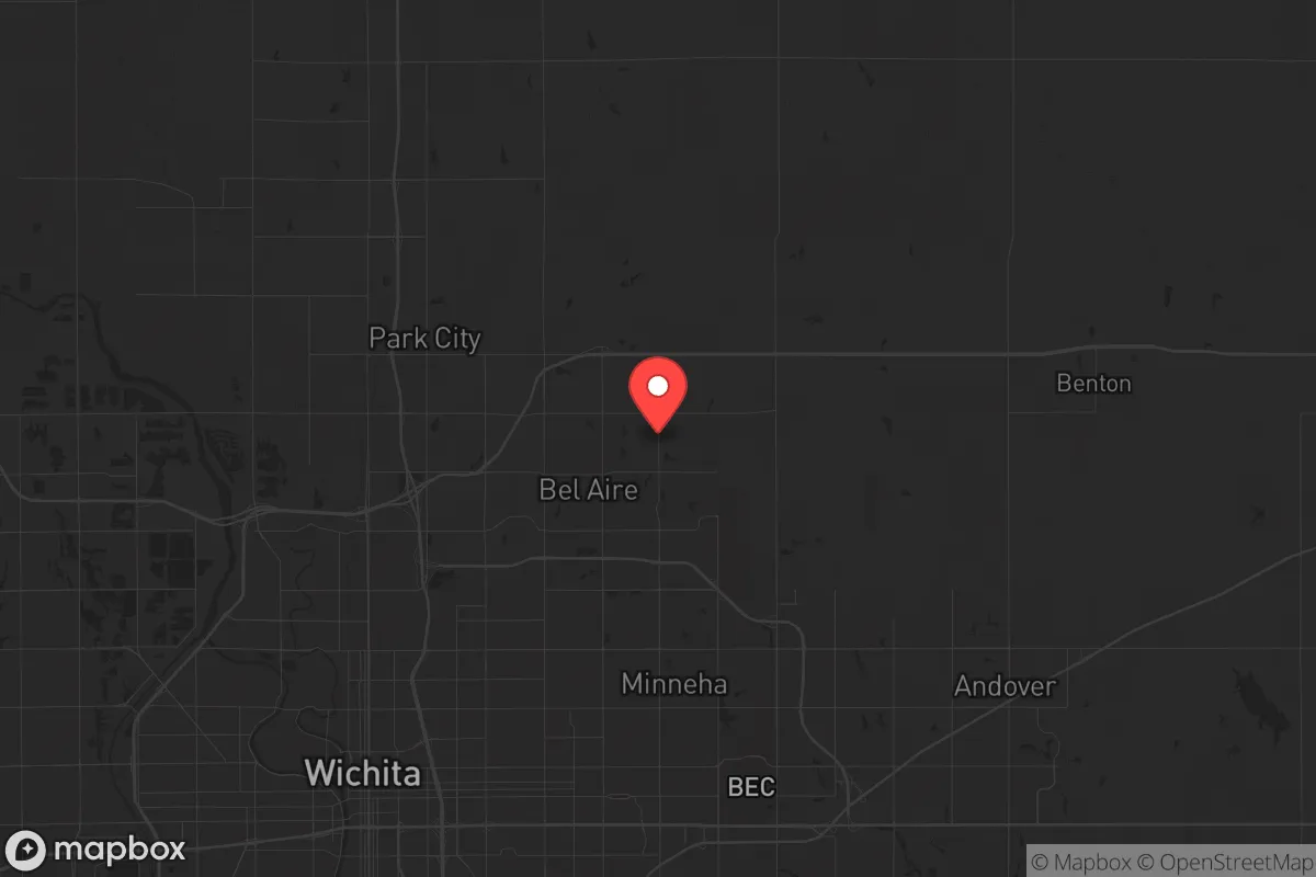
Strategic Assessment of Bel Aire, KS
Meaningful friction. Expect exposure to either population pressure, blast zones, or natural disaster risk. Consider buying a retreat property.
What does the Strategic Assessment tell us?
Our Strategic Assessment grades tactical survivability of an area. Major population centers, military targets, fallout zones, natural disasters, and border exposure all drive risk — lower exposure means a more defensible position in a crisis.
This is heavily inspired by Joel Skousen's Strategic Relocation book. Highly recommended you checkout the book ($)What does this tell us?
Our Strategic Assessment grades tactical survivability of an area. Major population centers, military targets, fallout zones, natural disasters, and border exposure all drive risk — lower exposure means a more defensible position in a crisis.
This is heavily inspired by Joel Skousen's Strategic Relocation book. Highly recommended you checkout the book ($)Strategic Pillars

Key Distances
Regional Safe Places
Below is our recommended "safe zones" in Kansas and the surrounding area based on our strategic heuristics. For most people, it's unrealistic to live in a “safe zone” full-time due to work, family or other personal reasons. They tend to be more rural. However, many of these areas are perfect for second homes and retreat properties that double as a vacation home or even a short-term rental.
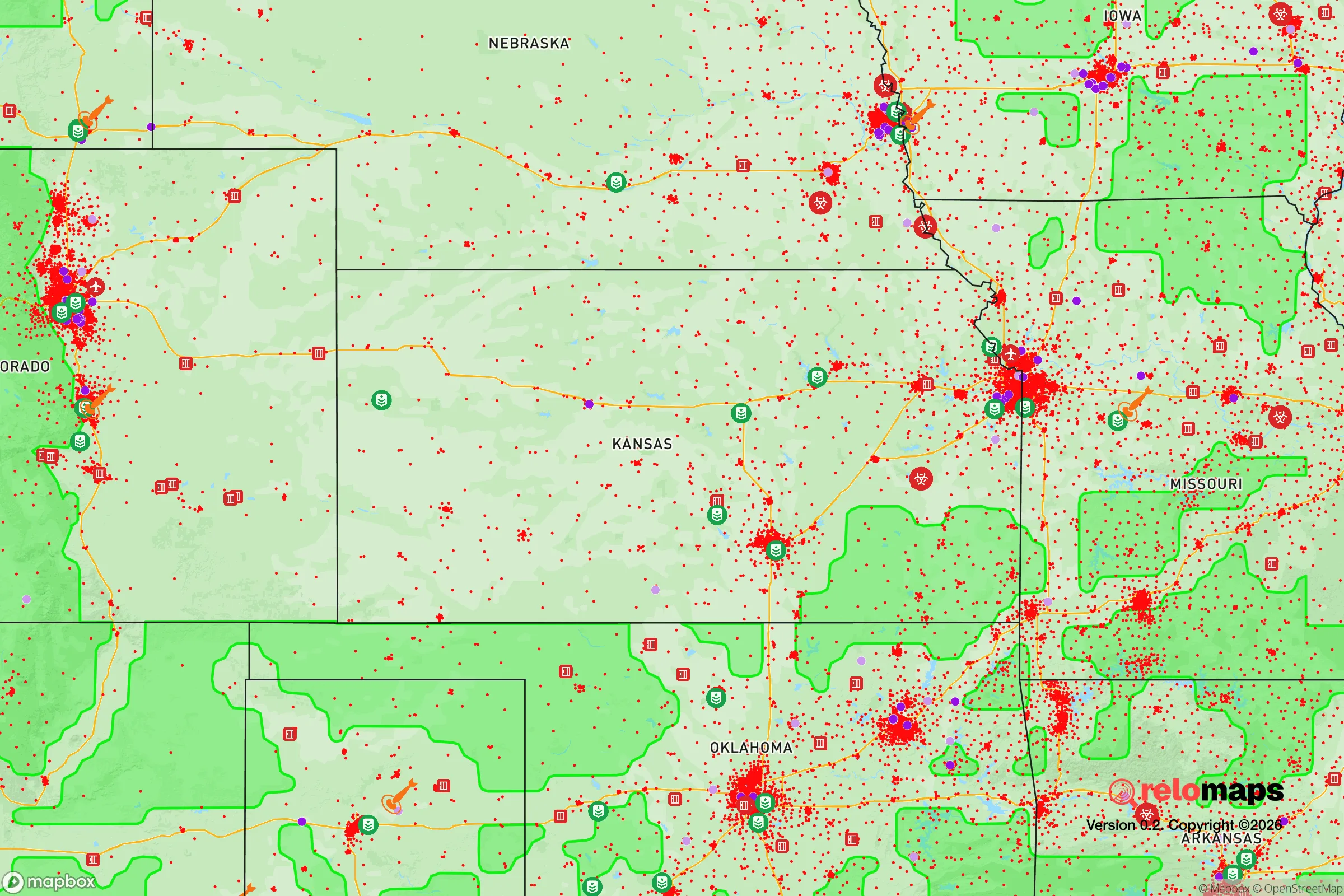
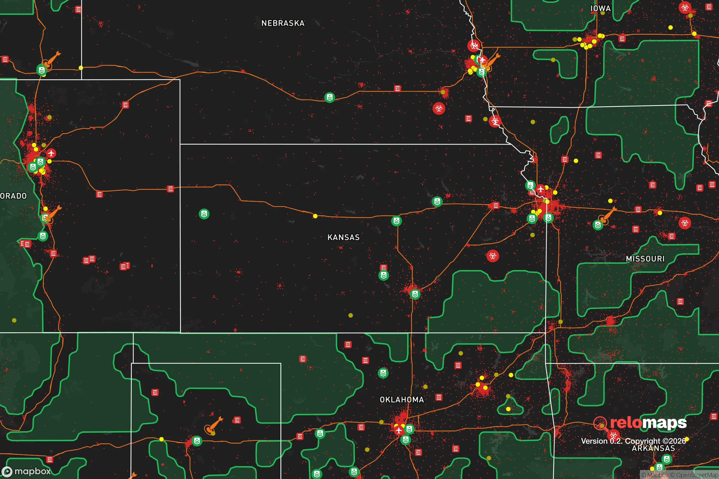
Important Note: For informational purposes only. This does not mean nothing bad ever happens in the green zones. Please use common sense. This is based on public data and modeled with AI. We tried to take a conservative approach but mistakes happen. We update this regularly as new information becomes available.
Solar Generator Recommendations
Backup power matters more here than in safer locations. We've picked three solar generators across budgets and capacity tiers — start with the budget unit if you only need a few essentials, or step up if you want to run a fridge and HVAC for days at a time.

Jackery Portable Power Station Explorer 300
Budget OptionPower on the Go: Weighing only 11 lbs, it's convenient to set up and store with book-sized foldable solar panels

BLUETTI Portable Power Station AC180
Designed for both indoor and outdoor scenarios, AC180 is highly capable as it has a robost capacity and continuous output power.

EF ECOFLOW DELTA Pro Ultra Power Station
Upgraded PickEcoFlow DELTA Pro Ultra is a whole-home energy system designed to grow with your family. Integrated with the Smart Home Panel 2, it scales to meet your evolving energy needs — keeping your home powered, intelligent, and secure through every stage of life.
We earn a commission, at no additional cost to you.
Strategic Assessment Analysis
Bel Aire, Kansas, offers a strategic sweet spot for those serious about long-term resilience: close enough to Wichita to monitor the pulse of regional instability, but far enough to avoid the immediate blast radius of a major urban collapse. This north-side suburb sits on the edge of the Kansas Flint Hills, a region known for its deep agricultural roots and low population density, giving a relocator a genuine buffer against the cascading failures that tend to radiate out from stressed cities. For a conservative-minded prepper, the calculus here is about trading the convenience of urban infrastructure for the breathing room that makes self-sufficiency actually achievable.
Geographic position and natural advantages for long-term sustainability
Bel Aire’s location at the northern fringe of the Wichita metro area puts it in a unique position. The city itself is small—roughly 8,000 residents—but it sits adjacent to K-254, a major east-west highway that connects to I-135 and I-35, giving you a solid evacuation route north toward the less populated areas of central Kansas. The land here is flat to gently rolling, with deep, fertile soil that is genuinely productive for food cultivation. The region sits atop the Equus Beds aquifer, a significant groundwater source that is less stressed than the Ogallala further west, meaning well water is a realistic option for those who secure the right property. The climate is continental, with hot summers and cold winters, but the growing season is long enough (around 180 days) to support a serious garden and small-scale livestock. The absence of major mountain ranges or dense forests means visibility is excellent—you can see threats coming from a long way off, which is a tactical advantage that flatlanders sometimes take for granted.
Risks, exposures, and proximity to fallout-relevant landmarks
No prepper assessment is honest without naming the hard targets. Bel Aire is roughly 12 miles north of McConnell Air Force Base, home to the 931st Air Refueling Wing and a major hub for KC-135 and KC-46 tankers. In a conflict scenario, that base is a high-priority target, and while Bel Aire is outside the most likely blast zones for a conventional strike, the fallout plume from a ground burst would depend entirely on wind direction. More immediately relevant to civic unrest: Wichita is a city of nearly 400,000 with significant economic stress, a struggling downtown, and a history of gang violence that has occasionally spilled into the suburbs. The Koch Industries headquarters and several major food processing plants in the area make Wichita a potential flashpoint for labor unrest or supply chain disruptions. Bel Aire itself is a bedroom community with limited commercial infrastructure, so if the city grid goes down, you are looking at a 15- to 20-minute drive for most supplies—or a long walk if roads are blocked. The proximity to I-135 also means that any mass evacuation from the south will funnel traffic directly past Bel Aire, which could create choke points and security concerns.
Practical resilience for a relocator: food, water, energy, and defensibility
For a single individual or a family looking to dig in, Bel Aire offers a mixed bag. The housing stock is largely suburban tract homes from the 1990s and 2000s, many on lots of a quarter-acre or less, which limits your ability to produce food on-site without creative solutions like raised beds or vertical gardening. However, the surrounding unincorporated areas of Sedgwick County and neighboring Butler County offer larger parcels at reasonable prices—think 5 to 20 acres within a 20-minute drive. Water is the strongest card here: the Equus Beds aquifer is managed by the city of Wichita but is accessible via private wells in the county, and the average well depth is only 100 to 200 feet, making drilling affordable compared to western Kansas. Energy resilience is doable but not automatic; the area gets about 220 sunny days per year, so solar is viable, but you will need battery storage to handle the occasional ice storm that takes out the grid for days. Natural gas is widely available in the suburbs, which is a plus for backup heating. Defensibility is moderate: the flat terrain means you cannot hide, but it also means you can establish clear sightlines and perimeter control. The local law enforcement presence is adequate for a town this size, but in a prolonged crisis, you will be relying on your own network. The conservative culture of the area is a genuine asset—neighbors tend to be armed, church-connected, and suspicious of government overreach, which creates a social fabric that is more resilient than the atomized suburbs of the coasts.
The overall strategic picture for Bel Aire is one of cautious optimism for the prepared relocator. It is not a remote bug-out location—it is a working suburb with real exposure to the risks of a mid-sized American city. But for someone who wants to stay engaged with the economy while building a parallel infrastructure of self-reliance, it offers a rare combination of affordable land, accessible water, and a community that still remembers what self-sufficiency looks like. The key is to buy with acreage, drill a well, and keep your head on a swivel toward the south. If you do that, Bel Aire can be a solid base of operations for whatever comes next.
* Values derived from national, state, county, city and local statistics and may differ in a specific area. Last updated: 2026-05-14T18:57:24.000Z
Narrative content on this page is AI-generated and may contain mistakes. Verify any details that matter before acting on them.
ReloMaps may earn a commission from affiliate links at no extra cost to you.