
Photo: Wikipedia
Strategic Assessment of Barboursville, WV
Meaningful friction. Expect exposure to either population pressure, blast zones, or natural disaster risk. Consider buying a retreat property.
What does the Strategic Assessment tell us?
Our Strategic Assessment grades tactical survivability of an area. Major population centers, military targets, fallout zones, natural disasters, and border exposure all drive risk — lower exposure means a more defensible position in a crisis.
This is heavily inspired by Joel Skousen's Strategic Relocation book. Highly recommended you checkout the book ($)What does this tell us?
Our Strategic Assessment grades tactical survivability of an area. Major population centers, military targets, fallout zones, natural disasters, and border exposure all drive risk — lower exposure means a more defensible position in a crisis.
This is heavily inspired by Joel Skousen's Strategic Relocation book. Highly recommended you checkout the book ($)Strategic Pillars

Key Distances
Regional Safe Places
Below is our recommended "safe zones" in West Virginia and the surrounding area based on our strategic heuristics. For most people, it's unrealistic to live in a “safe zone” full-time due to work, family or other personal reasons. They tend to be more rural. However, many of these areas are perfect for second homes and retreat properties that double as a vacation home or even a short-term rental.


Important Note: For informational purposes only. This does not mean nothing bad ever happens in the green zones. Please use common sense. This is based on public data and modeled with AI. We tried to take a conservative approach but mistakes happen. We update this regularly as new information becomes available.
Solar Generator Recommendations
Backup power matters more here than in safer locations. We've picked three solar generators across budgets and capacity tiers — start with the budget unit if you only need a few essentials, or step up if you want to run a fridge and HVAC for days at a time.

Jackery Portable Power Station Explorer 300
Budget OptionPower on the Go: Weighing only 11 lbs, it's convenient to set up and store with book-sized foldable solar panels

BLUETTI Portable Power Station AC180
Designed for both indoor and outdoor scenarios, AC180 is highly capable as it has a robost capacity and continuous output power.

EF ECOFLOW DELTA Pro Ultra Power Station
Upgraded PickEcoFlow DELTA Pro Ultra is a whole-home energy system designed to grow with your family. Integrated with the Smart Home Panel 2, it scales to meet your evolving energy needs — keeping your home powered, intelligent, and secure through every stage of life.
We earn a commission, at no additional cost to you.
Strategic Assessment Analysis
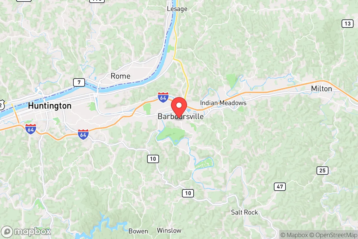
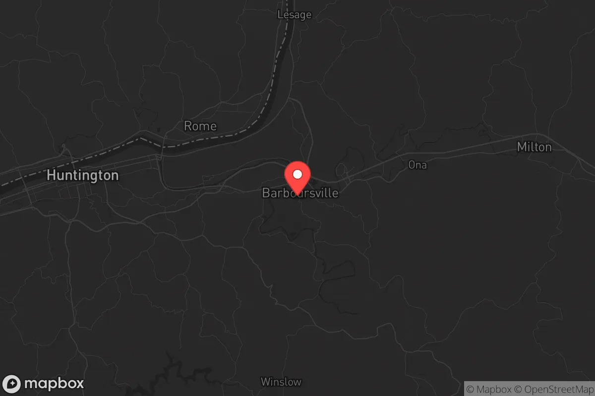
Barboursville, West Virginia, sits in a sweet spot that few relocation analysts talk about openly: close enough to Huntington and the I-64 corridor to access jobs and supplies, but far enough off the main drag that it won't be a primary target or a chokepoint during a crisis. The town's position in the Ohio River Valley gives it natural cover—hills, tree lines, and a layout that doesn't scream "strategic asset" to anyone scanning satellite imagery. For a conservative-leaning relocator thinking about long-term stability, this isn't a flashy pick, but it's a defensible one. The area's resilience comes from being overlooked, not overbuilt.
Geographic position and natural advantages for long-term stability
Barboursville sits in Cabell County, roughly 10 miles east of Huntington and about 50 miles west of Charleston. The terrain is rolling Appalachian foothills, not steep mountains, which means you get decent drainage, natural windbreaks, and plenty of places to tuck a homestead out of sight. The Ohio River is about 15 miles west, providing a major water artery that's navigable but not so close that you're dealing with riverfront flood risk or barge traffic noise. The area sits in a USDA hardiness zone 6b, which supports a long growing season for vegetables, fruit trees, and even some nut crops—critical for anyone serious about food independence. The surrounding Wayne and Lincoln counties are heavily forested, with state game lands and national forest parcels within an hour's drive, offering hunting, foraging, and timber resources. The local water table is generally good, with many properties having access to well water, and the region's annual rainfall of about 40 inches means you're not dependent on municipal water for basic survival. The biggest natural advantage here is the lack of a single choke point: there are multiple two-lane roads, county routes, and even old railroad beds that can serve as alternate egress routes if I-64 gets locked up.
Risks, exposures, and proximity to fallout-relevant landmarks
Let's be direct: Barboursville is not a zero-risk location, and anyone telling you otherwise is selling something. The biggest exposure is Huntington, which sits about 15 miles west and has a population of roughly 46,000. Huntington is a regional medical and transportation hub, with a major hospital (Cabell Huntington Hospital), a rail yard, and the Huntington Tri-State Airport (which also serves as a military airfield for the West Virginia Air National Guard's 130th Airlift Wing). In a mass casualty event or civil unrest scenario, that airport and hospital become magnets for chaos—evacuations, supply convoys, and potentially contested ground. Barboursville is close enough that you'd hear the noise and see the smoke, but far enough that you're not in the immediate blast radius of any targeted strike or riot zone. The bigger concern is the Ohio River chemical corridor: there are multiple industrial facilities along the river between Huntington and Ashland, Kentucky, including a Marathon Petroleum refinery in Catlettsburg (about 20 miles southwest). A major chemical release or industrial accident could send a plume up the valley, so you'd want to be upwind (north or east) and have a plan for sheltering in place. There are no nuclear power plants within 50 miles, and the closest major military installation is the West Virginia Air National Guard base at Yeager Airport in Charleston (about 50 miles east), which is a secondary target at best. The area's biggest risk is actually social: Barboursville has seen a modest population increase since 2020 as people flee larger cities, and that influx can strain local resources and create friction with established residents. For a relocator, the key is to buy land with good water and a defensible position before the area gets "discovered" by the unprepared.
Practical resilience for a relocator: food, water, energy, and defensibility
For a single individual or a family looking to be self-sufficient, Barboursville offers a realistic baseline. The local soil is a mix of silt loam and clay, which is workable for gardening once you amend it with compost—many old farmsteads in the area still have productive vegetable patches. The growing season runs from mid-April to mid-October, giving you about 180 days to put up food. Deer, turkey, and small game are abundant in the surrounding woods, and the Ohio River provides catfish and bass for those willing to learn bank fishing. Water is the real win here: most rural properties in Cabell County have access to groundwater at depths of 50 to 150 feet, and the local health department is pragmatic about well permits. You can also collect rainwater off a metal roof without much hassle, since the county doesn't restrict it. For energy, the area is served by Appalachian Power, but grid reliability is average—outages happen during thunderstorms and winter ice storms, typically lasting 4-12 hours. Solar is viable, with about 4.5 peak sun hours per day, and the county has no restrictive HOA covenants that would block panels or a backup generator. Wood heat is the standard for preppers here: hardwood is cheap and plentiful, with seasoned cordwood running about $150-$200 per cord delivered. Defensibility is where Barboursville shines. The town itself is a typical small Appalachian community with a main street, a few strip malls, and a lot of single-family homes on half-acre to two-acre lots. But the real value is in the surrounding rural areas—places like Mud River, Salt Rock, and the back roads of Wayne County. These are narrow, winding roads with limited sight lines, which makes them easy to monitor and hard to approach quickly. Neighbors tend to be armed and self-reliant, and the local sheriff's office is responsive but not overbearing. The biggest practical downside is the lack of a robust local food system: the nearest real grocery is a Kroger in Barboursville proper, and the farmers' market is seasonal and small. You'll need to build your own supply chain for bulk staples, medical gear, and ammunition, which means regular trips to Huntington or online ordering.
The overall strategic picture for Barboursville is one of calculated moderation. It's not a remote mountain redoubt, and it's not a fortified compound—it's a working-class Appalachian town with good bones for anyone willing to put in the work. The proximity to Huntington is a double-edged sword: it gives you access to medical care, hardware stores, and a regional airport, but it also means you're within the blast radius of any event that targets the Ohio River industrial corridor. For a conservative relocator who values community, self-sufficiency, and a low profile, Barboursville offers a realistic middle ground. The key is to buy land with water and timber, build relationships with neighbors before you need them, and keep a low profile. The area won't save you from a direct nuclear strike or a nationwide collapse, but it will give you a fighting chance during the kind of regional disruptions—power outages, supply chain breaks, civil unrest—that are becoming more common. If you're looking for a place to ride out the next decade without being a target, Barboursville is worth a serious look. Just don't tell everyone about it.
* Values derived from national, state, county, city and local statistics and may differ in a specific area. Last updated: 2026-04-23T05:46:36.000Z
Narrative content on this page is AI-generated and may contain mistakes. Verify any details that matter before acting on them.
ReloMaps may earn a commission from affiliate links at no extra cost to you.