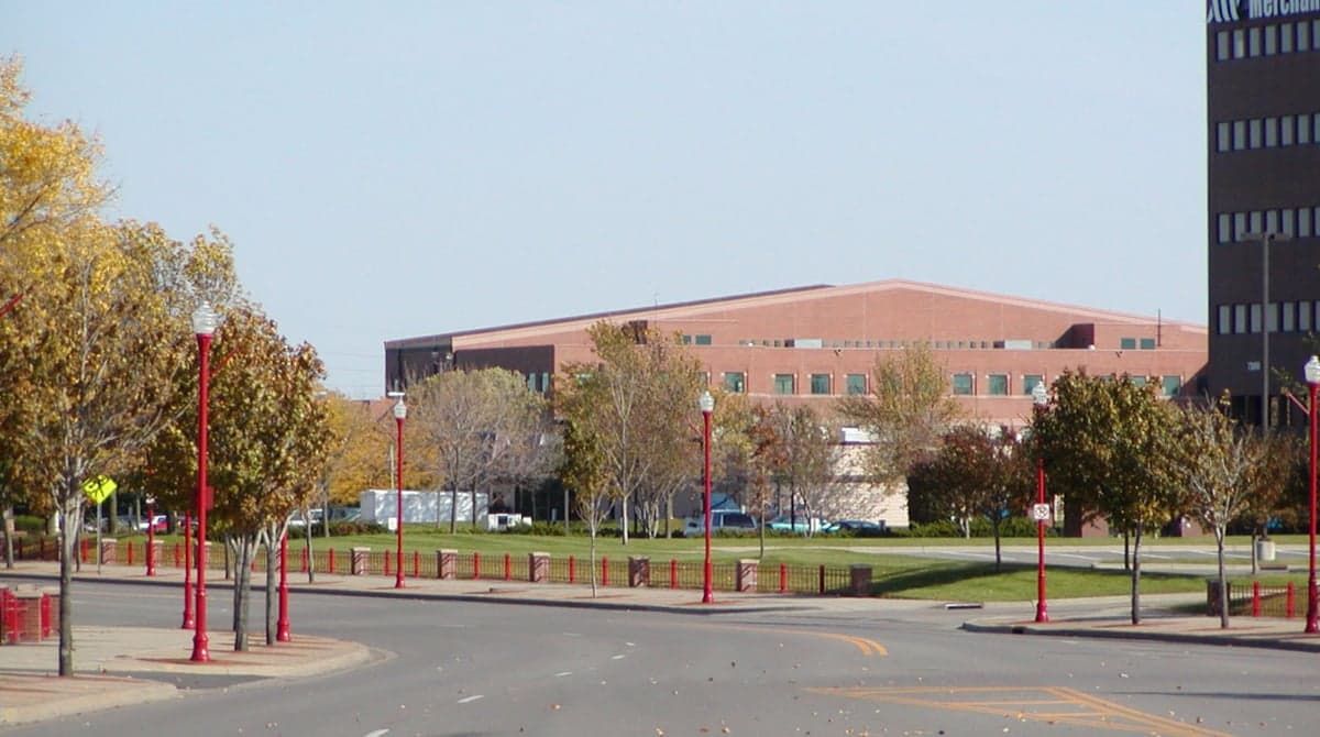
Photo: Wikipedia
Strategic Assessment of Apple Valley, MN
Meaningful friction. Expect exposure to either population pressure, blast zones, or natural disaster risk. Consider buying a retreat property.
What does the Strategic Assessment tell us?
Our Strategic Assessment grades tactical survivability of an area. Major population centers, military targets, fallout zones, natural disasters, and border exposure all drive risk — lower exposure means a more defensible position in a crisis.
This is heavily inspired by Joel Skousen's Strategic Relocation book. Highly recommended you checkout the book ($)What does this tell us?
Our Strategic Assessment grades tactical survivability of an area. Major population centers, military targets, fallout zones, natural disasters, and border exposure all drive risk — lower exposure means a more defensible position in a crisis.
This is heavily inspired by Joel Skousen's Strategic Relocation book. Highly recommended you checkout the book ($)Strategic Pillars

Key Distances
Regional Safe Places
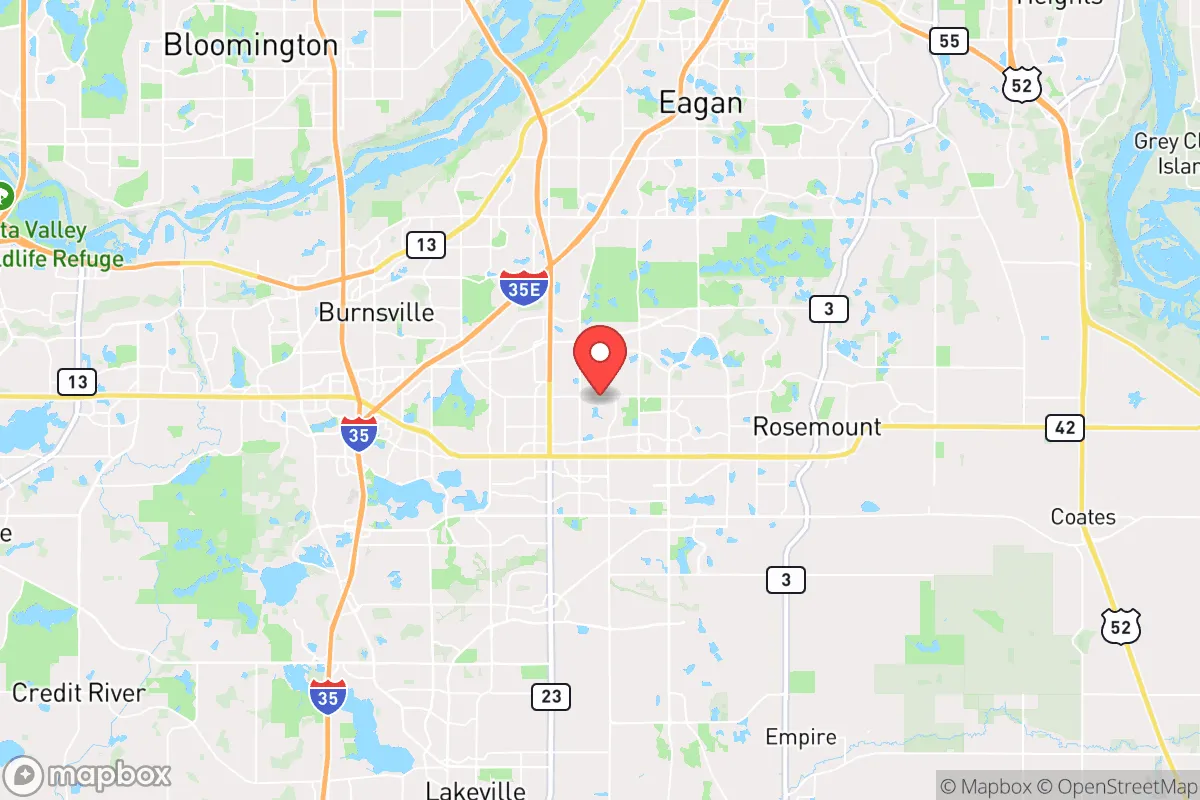
Below is our recommended "safe zones" in Minnesota and the surrounding area based on our strategic heuristics. For most people, it's unrealistic to live in a “safe zone” full-time due to work, family or other personal reasons. They tend to be more rural. However, many of these areas are perfect for second homes and retreat properties that double as a vacation home or even a short-term rental.


Important Note: For informational purposes only. This does not mean nothing bad ever happens in the green zones. Please use common sense. This is based on public data and modeled with AI. We tried to take a conservative approach but mistakes happen. We update this regularly as new information becomes available.
Solar Generator Recommendations
Backup power matters more here than in safer locations. We've picked three solar generators across budgets and capacity tiers — start with the budget unit if you only need a few essentials, or step up if you want to run a fridge and HVAC for days at a time.

Jackery Portable Power Station Explorer 300
Budget OptionPower on the Go: Weighing only 11 lbs, it's convenient to set up and store with book-sized foldable solar panels

BLUETTI Portable Power Station AC180
Designed for both indoor and outdoor scenarios, AC180 is highly capable as it has a robost capacity and continuous output power.

EF ECOFLOW DELTA Pro Ultra Power Station
Upgraded PickEcoFlow DELTA Pro Ultra is a whole-home energy system designed to grow with your family. Integrated with the Smart Home Panel 2, it scales to meet your evolving energy needs — keeping your home powered, intelligent, and secure through every stage of life.
We earn a commission, at no additional cost to you.
Strategic Assessment Analysis
Apple Valley, Minnesota, presents a mixed strategic picture for the conservative prepper. While its location in the southern Twin Cities metro offers certain logistical advantages, its proximity to a major population center and potential fallout targets introduces significant vulnerabilities that cannot be ignored. For the individual or family serious about long-term resilience, this suburb demands a clear-eyed assessment of its strengths and its very real exposure to cascading risks.
Geographic position and natural advantages for long-term survival
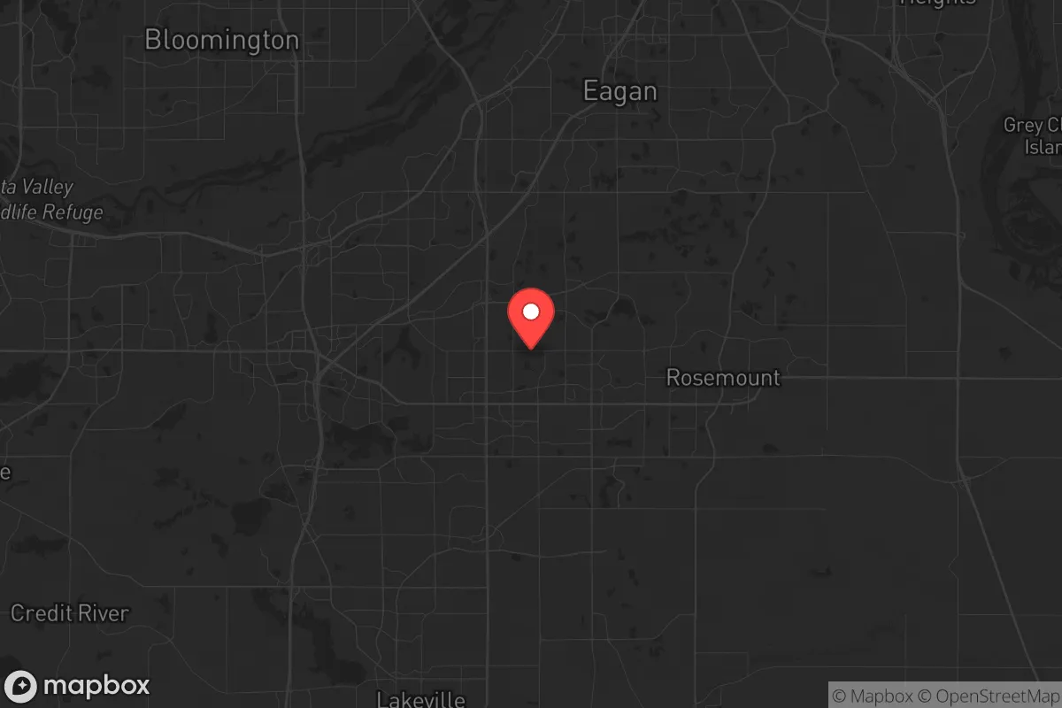
Apple Valley sits in Dakota County, roughly 15 miles south of downtown Minneapolis and St. Paul. Its position along the Minnesota River Valley provides a natural corridor for movement and water access, but it is not a remote or defensible location. The area is characterized by rolling glacial terrain, with the Vermillion River and several smaller creeks running through it. These waterways offer a potential source of fresh water, though they are not pristine and would require filtration or treatment in a grid-down scenario. The soil in the region is generally fertile, supporting small-scale gardening, but the growing season is short—typically 140 to 160 frost-free days—limiting year-round food production without greenhouse infrastructure. The region's cold winters, with average January lows around 8°F, present a serious challenge for off-grid heating and water storage. For a relocator, the natural advantages here are modest: decent water access, some arable land, and a temperate climate that avoids extremes of heat or drought. But the area is flat and open, offering little in the way of natural cover or defensible terrain. The nearby Minnesota River Valley does provide some topographic variation, but it is not a mountain refuge.
Risks, exposures, and proximity to fallout-relevant landmarks
The single greatest strategic liability of Apple Valley is its proximity to the Twin Cities metro area, home to over 3.6 million people. In the event of a major disaster—whether natural, economic, or civil—this population mass becomes a liability. The suburb is within 20 miles of the Minneapolis-St. Paul International Airport (MSP), a major transportation hub that could be a target for terrorism or a focal point for evacuation chaos. Additionally, the area lies within 30 miles of several potential fallout-relevant landmarks: the Xcel Energy Prairie Island Nuclear Generating Plant (about 25 miles southeast), the Monticello Nuclear Generating Plant (about 40 miles northwest), and the U.S. Army's Fort Snelling (now a military base and training site). A nuclear incident at either plant could place Apple Valley in a downwind plume zone, depending on prevailing winds. The suburb is also near the Mississippi River, a critical waterway and transportation artery that could become a chokepoint or target during unrest. For the prepper, the density of the surrounding population—over 1,000 people per square mile in Apple Valley itself, with even higher densities closer to the core—means that any large-scale event would trigger rapid resource depletion, road congestion, and potential civil disorder. The suburb's location on the I-35E and I-494 corridors means it is a transit node, not a hideaway.
Practical resilience for a relocator: food, water, energy, and defensibility
For a relocator looking to establish a resilient household, Apple Valley offers some practical advantages but also serious gaps. Water access is the strongest point: the Vermillion River and local groundwater are available, but reliance on municipal water systems is a vulnerability. A well with a hand pump or a rainwater catchment system would be essential for off-grid independence. Food production is feasible but limited: community gardens exist, and the soil can support vegetables, but the short growing season and suburban lot sizes (typically 0.2 to 0.5 acres) restrict large-scale agriculture. Local farmers' markets and co-ops (e.g., the Apple Valley Farmers Market) provide some supply chain redundancy, but these would collapse in a crisis. Energy resilience is a challenge: the grid is reliable under normal conditions, but the area is prone to winter storms that can cause outages. Solar panels with battery storage are viable, though winter cloud cover reduces output. Natural gas is the primary heating fuel, but a propane backup or wood stove would be prudent. Defensibility is poor: the suburb's layout—curving streets, cul-de-sacs, and open parks—offers no natural chokepoints or elevated positions. A determined group could easily approach from multiple directions. The local police force (Apple Valley Police Department) is professional, but in a widespread collapse, they would be overwhelmed. The nearest National Guard armory is in Rosemount, about 10 miles away, which could be a staging area for security forces—or a target.
Community and social resilience are mixed. Dakota County has a strong conservative lean in its rural areas, but Apple Valley itself is a purple suburb with a mix of political views. The presence of churches, civic organizations, and a local chapter of the Minnesota Preppers Network offers some social infrastructure for mutual aid. However, the suburb's population is transient, with many residents commuting to the cities for work, reducing the depth of local ties. For a family, the school system (Independent School District 196) is well-regarded, but in a crisis, schools would become gathering points for displaced populations. The proximity to the Twin Cities means that any large-scale event—a pandemic, economic collapse, or civil unrest—would ripple outward quickly. The suburb's location on major highways also makes it a likely route for evacuees fleeing the core, potentially bringing chaos to local roads.
In terms of supplies, Apple Valley has several big-box retailers (Walmart, Target, Home Depot) and grocery stores (Hy-Vee, Cub Foods), but these would be stripped within hours of a crisis. A prepper would need to maintain a minimum of three months of food, water, and medical supplies, plus fuel for generators and vehicles. The area's cold winters mean that heating fuel and warm clothing are non-negotiable. For those willing to invest in a rural property outside the suburb—say, in nearby farm country like Farmington or Northfield—Apple Valley could serve as a staging point for supplies and information, but not as a long-term refuge.
The overall strategic picture for Apple Valley is one of calculated risk. It is not a survivalist's paradise, nor is it a death trap. For a conservative relocator who values access to infrastructure, healthcare, and community but is willing to invest heavily in self-sufficiency, it can work—provided you accept the proximity to the metro as a vulnerability to be managed, not ignored. The suburb's best use is as a base for building skills, stockpiling supplies, and networking with like-minded individuals, with a clear plan to relocate to a more defensible rural property if the situation deteriorates. The bottom line: Apple Valley offers convenience, not sanctuary. If your priority is true resilience, look farther south or west, where population density drops and natural defenses improve. But if you must stay near the metro for work or family, this suburb is a passable compromise—as long as you treat it as a temporary staging ground, not a final destination.
* Values derived from national, state, county, city and local statistics and may differ in a specific area. Last updated: 2026-04-29T19:26:47.000Z
Narrative content on this page is AI-generated and may contain mistakes. Verify any details that matter before acting on them.
ReloMaps may earn a commission from affiliate links at no extra cost to you.