
Photo: Wikipedia
Strategic Assessment of Ankeny, IA
Meaningful friction. Expect exposure to either population pressure, blast zones, or natural disaster risk. Consider buying a retreat property.
What does the Strategic Assessment tell us?
Our Strategic Assessment grades tactical survivability of an area. Major population centers, military targets, fallout zones, natural disasters, and border exposure all drive risk — lower exposure means a more defensible position in a crisis.
This is heavily inspired by Joel Skousen's Strategic Relocation book. Highly recommended you checkout the book ($)What does this tell us?
Our Strategic Assessment grades tactical survivability of an area. Major population centers, military targets, fallout zones, natural disasters, and border exposure all drive risk — lower exposure means a more defensible position in a crisis.
This is heavily inspired by Joel Skousen's Strategic Relocation book. Highly recommended you checkout the book ($)Strategic Pillars

Key Distances
Regional Safe Places
Below is our recommended "safe zones" in Iowa and the surrounding area based on our strategic heuristics. For most people, it's unrealistic to live in a “safe zone” full-time due to work, family or other personal reasons. They tend to be more rural. However, many of these areas are perfect for second homes and retreat properties that double as a vacation home or even a short-term rental.


Important Note: For informational purposes only. This does not mean nothing bad ever happens in the green zones. Please use common sense. This is based on public data and modeled with AI. We tried to take a conservative approach but mistakes happen. We update this regularly as new information becomes available.
Solar Generator Recommendations
Backup power matters more here than in safer locations. We've picked three solar generators across budgets and capacity tiers — start with the budget unit if you only need a few essentials, or step up if you want to run a fridge and HVAC for days at a time.

Jackery Portable Power Station Explorer 300
Budget OptionPower on the Go: Weighing only 11 lbs, it's convenient to set up and store with book-sized foldable solar panels

BLUETTI Portable Power Station AC180
Designed for both indoor and outdoor scenarios, AC180 is highly capable as it has a robost capacity and continuous output power.

EF ECOFLOW DELTA Pro Ultra Power Station
Upgraded PickEcoFlow DELTA Pro Ultra is a whole-home energy system designed to grow with your family. Integrated with the Smart Home Panel 2, it scales to meet your evolving energy needs — keeping your home powered, intelligent, and secure through every stage of life.
We earn a commission, at no additional cost to you.
Strategic Assessment Analysis
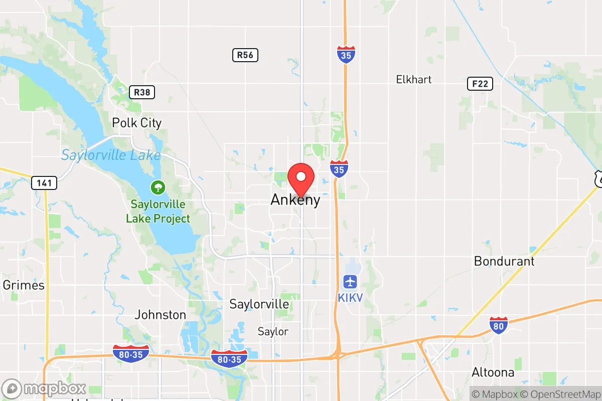
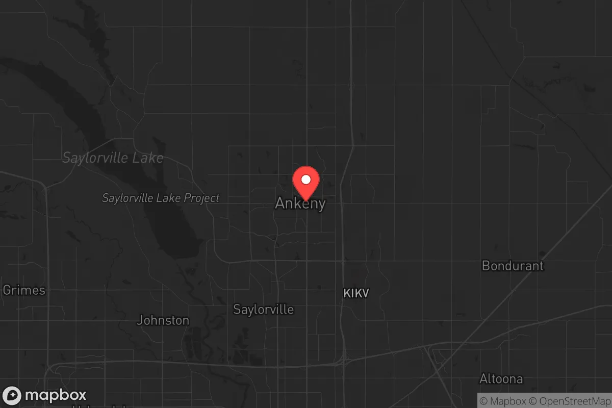
Ankeny, Iowa, offers a surprisingly strong strategic position for those prioritizing resilience and self-sufficiency, but it is not without significant trade-offs. Located just north of Des Moines in Polk County, the city benefits from the economic stability of a state capital region while maintaining a suburban character that provides a degree of separation from the most concentrated urban risks. For a relocator with a prepper mindset, Ankeny’s real advantage lies in its access to the agricultural heartland, a robust local economy, and a community that still values neighborly self-reliance, though proximity to a major metro area introduces vulnerabilities that must be carefully weighed.
Geographic position and natural advantages for long-term stability
Ankeny sits on the flat, fertile plains of central Iowa, a region that is arguably one of the most agriculturally productive in the world. This is not a coastal city vulnerable to hurricanes, nor is it in a seismic zone prone to earthquakes. The primary natural threats are severe thunderstorms, tornadoes, and occasional winter blizzards—all manageable with proper preparation. The city’s location along the Des Moines River watershed provides reliable access to groundwater, and the surrounding farmland means that, in a prolonged disruption, local food production could theoretically be sustained. The area’s low population density relative to the East or West Coast also reduces the risk of cascading infrastructure failures that plague denser urban centers. For a relocator, the key takeaway is that Ankeny sits in a geographic sweet spot: far enough from the coasts to avoid the worst of sea-level rise and hurricane impacts, yet close enough to the nation’s agricultural and transportation spine (Interstates 35 and 80 intersect just south in Des Moines) to maintain supply chain access during normal times.
Risks, exposures, and proximity to fallout-relevant landmarks
The most glaring vulnerability for Ankeny is its proximity to Des Moines, a city of roughly 200,000 people that serves as a state government, insurance, and financial hub. In a scenario of civil unrest or a mass casualty event—whether from economic collapse, political violence, or a pandemic—Des Moines would be a primary target for disruption. Ankeny’s population of about 70,000 means it is close enough to feel the ripple effects of urban chaos, including potential refugee flows, supply chain interruptions, and strain on local law enforcement. Additionally, the city is within 30 miles of the Des Moines International Airport, a potential point of entry for disease or a target for coordinated attacks. More concerning for the prepper: the nearby Iowa Army Ammunition Plant in Middletown (about 100 miles southeast) and the Duane Arnold Energy Center (a decommissioned nuclear plant near Palo, about 20 miles northwest) represent low-probability but high-consequence hazards. While the nuclear plant is no longer operational, spent fuel remains on site, and any incident there could affect the region’s water and air quality. The presence of major rail lines running through the area also introduces the risk of hazardous material spills. For a relocator, these risks are manageable with situational awareness and a solid bug-out plan, but they cannot be ignored.
Practical resilience for a relocator: food, water, energy, and defensibility
On the practical side, Ankeny offers several advantages for those serious about self-reliance. The city’s water supply comes from the Des Moines Water Works, which draws from the Raccoon and Des Moines Rivers, but a well on private property is a viable option for those living on the outskirts. The local climate supports gardening for much of the year, and the abundance of nearby farms means that bulk food purchases (grains, livestock feed, seeds) are readily available. Energy resilience is a mixed bag: the grid is generally reliable, but winter storms in 2020 and 2021 exposed vulnerabilities in Iowa’s power infrastructure. Solar panels with battery backup are a wise investment here, as the region gets decent sun exposure even in winter. Defensibility is where Ankeny’s suburban layout becomes a double-edged sword. The city’s grid-like street pattern and relatively flat terrain make it difficult to secure a large perimeter, but individual homes on larger lots (common in newer subdivisions) can be hardened with fencing, reinforced doors, and window coverings. The presence of a strong local police force and a community that still values firearms ownership (Iowa is a shall-issue state for permits) adds a layer of security that many coastal suburbs lack. For a relocator, the best approach is to target a home on the northern or eastern edges of Ankeny, closer to rural Polk or Story counties, where population density drops and escape routes to farmland are clearer.
Overall, Ankeny presents a solid but not exceptional strategic picture for the conservative-minded prepper. Its strengths are rooted in the Midwest’s agricultural abundance, a stable local economy, and a culture that still respects preparedness and self-defense. Its weaknesses stem from its proximity to a major urban center and the inherent vulnerabilities of being in a region that, while not a primary target, is not far from critical infrastructure. For a single individual or family willing to invest in off-grid capabilities—well water, solar power, food storage, and a reliable vehicle—Ankeny can serve as a viable base of operations. But it is not a remote redoubt; it is a suburban outpost that requires constant vigilance and a plan for when the city next door becomes a liability. If you are looking for a place that balances opportunity with manageable risk, Ankeny deserves a look. If you want true isolation, look further west into the Missouri River valley or north into Minnesota’s lake country.
* Values derived from national, state, county, city and local statistics and may differ in a specific area. Last updated: 2026-04-24T12:23:09.000Z
Narrative content on this page is AI-generated and may contain mistakes. Verify any details that matter before acting on them.
ReloMaps may earn a commission from affiliate links at no extra cost to you.