10 Safest Cities in Louisiana for Families and Retirees

Louisiana's safest-city rankings are useful for building a shortlist, but low reported crime does not settle whether a place is safe for your household. Many highly ranked communities are small, suburban, or college-anchored, particularly in St. Tammany, Lafayette, Ascension, Livingston, Tangipahoa, and Lincoln parishes. Their rates can shift sharply when a small number of cases are reported.
A town's rank also depends on where its boundaries fall and which agency reports incidents. SafeWise's 2026 Louisiana analysis offers a statewide comparison, but its figures should not be mixed with city rates unless the units and reporting periods match. The practical point is simple: reported crime is one input, not a guarantee that every block is quiet.
This roundup pairs each city with its jurisdiction and reporting caveats, its main flood or hurricane exposure, and a fit note for families and retirees. Check the exact address, not just the city name. City limits and nearby unincorporated areas may be covered by different agencies, while flood risk can vary from one parcel to the next. A crime ranking cannot tell you whether a home faces river flooding, storm surge, or hurricane exposure, or whether the commute and services suit your needs.
Table of Contents
- 1. Madisonville, Louisiana
- 2. Mandeville, Louisiana
- 3. Youngsville, Louisiana
- 4. Gonzales, Louisiana
- 5. Zachary, Louisiana
- 6. Covington, Louisiana
- 7. Broussard, Louisiana
- 8. Hammond, Louisiana
- 9. Ruston, Louisiana
- 10. Denham Springs, Louisiana
- Parish, Commute Corridor, Main Risk Flag, and Best Fit for Each Safe Louisiana City
- Turning a Safe Shortlist Into a Move You Can Defend
- Frequently Asked Questions
1. Madisonville, Louisiana
Madisonville is the river town people reach for when they want the safest cities in Louisiana to feel like a village, then discover the rank is only half the move. It sits on the Tchefuncte River in St. Tammany Parish, across Lake Pontchartrain from New Orleans. A small population and low density usually mean few reported incidents per capita, which is why it keeps landing near the top of safety lists.
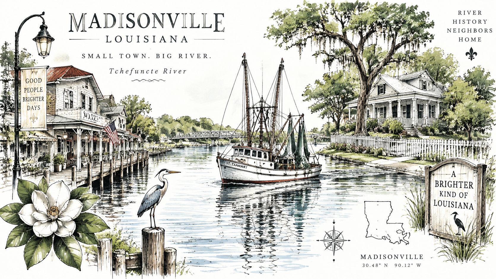
Residents trade in-town amenities for quiet. Most shopping and healthcare are in Covington and Mandeville. Many people commute toward New Orleans, Baton Rouge, or Northshore medical centers, and annual riverfront events draw visitors without rewriting the town's baseline safety profile.
Practical rule: A riverfront rank is not a flood clearance.
- Map the parcel: Check the FEMA flood map, because river-adjacent lots can sit in high-risk zones.
- Match the jurisdiction: Compare town figures with nearby unincorporated St. Tammany, since boundaries change the reported total.
- Price the water: Budget flood insurance through the National Flood Insurance Program or a private carrier, even outside a mapped high-risk zone.
Families who want a short drive to Northshore services fit better than retirees who need a hospital on the same street. See how the town sits inside Louisiana on ReloMaps, then open Madisonville, Louisiana for the grade split.
2. Mandeville, Louisiana
Mandeville's low reported violent-crime rate is useful context, not a complete safety ranking. In its FBI Crime Data Explorer-derived 2024 figures, the OpenCrime Louisiana compilation reports 130.2 violent crimes per 100,000 residents and lists property crime separately. These rates describe reported crime within the source's comparison set; check how city boundaries and reporting practices affect comparisons with nearby communities.
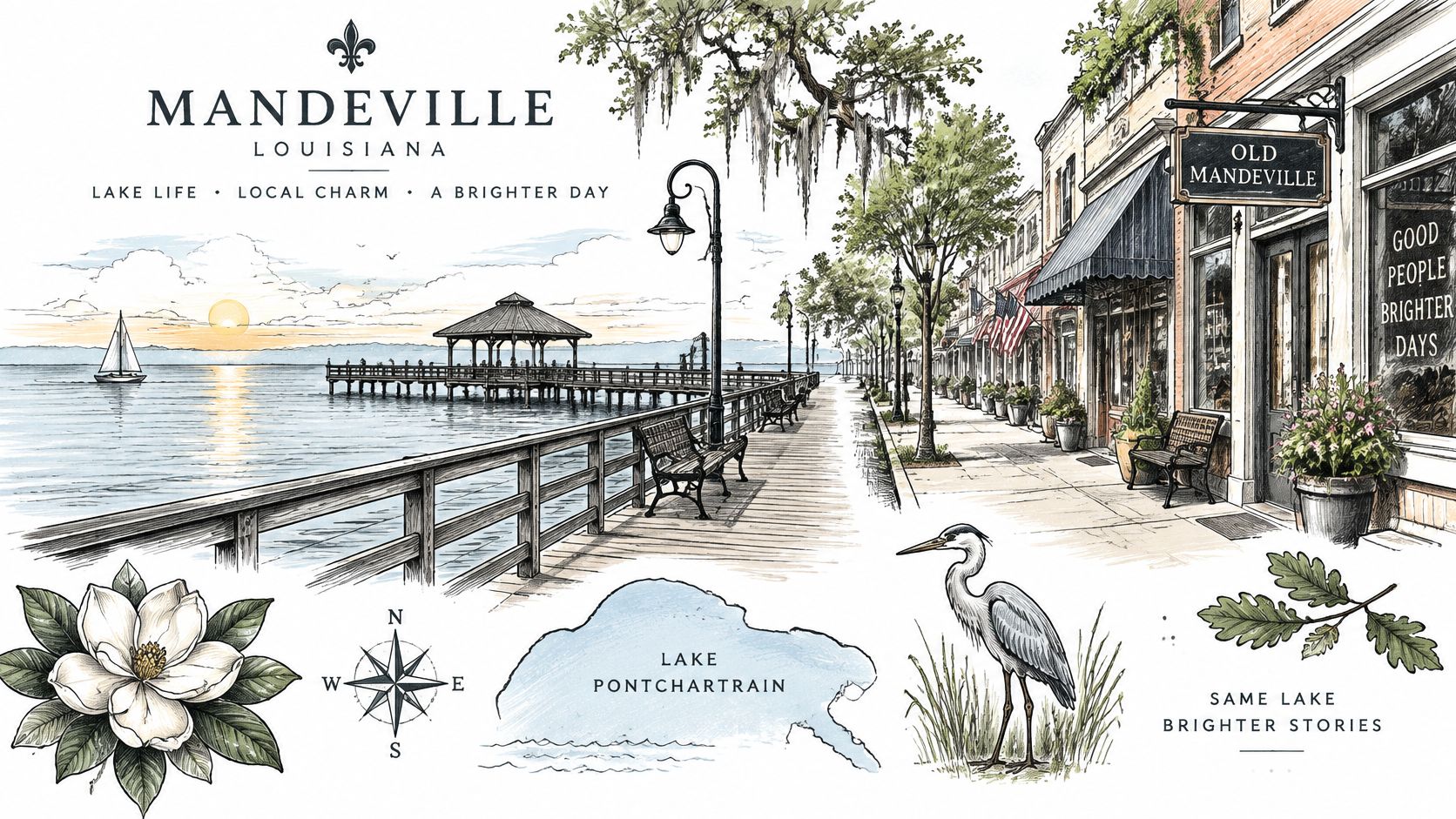
Mandeville sits on Lake Pontchartrain in St. Tammany Parish, across the water from New Orleans. Families comparing homes should check the school attendance zone and whether a specific property has the yard space they need. Old Mandeville offers walkable streets, while the Causeway shapes commutes for residents who travel to New Orleans. Remote workers can keep regional work connections without making that drive every day. Healthcare is nearby.
Test the Causeway commute at peak hours before making an offer. Sunday travel times may not reflect a weekday trip.
Lakefront homes require a parcel-level flood-zone check; request an elevation certificate where applicable. Compare prices with Covington rather than assuming either city is the default Northshore choice. For location context, see Mandeville, Louisiana. Mandeville mortgage readiness guidance can help buyers preparing for a home purchase.
3. Youngsville, Louisiana
Youngsville can suit households working in Lafayette, but a low-crime label alone does not settle the safety question. The available section information gives no sourced, year-specific violent- or property-crime rate for Youngsville or Lafayette, so a numerical comparison would be misleading. Check whether the figures you use cover the city limits or a broader reporting jurisdiction, and compare the same dataset and year for both places.
The practical trade-off is growth. As subdivisions fill, school attendance boundaries and capacity plans may change. Similar-looking homes can also have different covenants and dues, so compare the rules for each property rather than relying on listing photos.
- Check the HOA documents: Review fees and rental restrictions before calculating monthly costs.
- Verify the school assignment: Confirm the current attendance map with the district, then ask about planned changes.
- Test the commute: Drive I-49 and Highway 90 during peak traffic for your likely work hours.
Youngsville also faces hurricane and flooding exposure. Crime figures cannot tell you whether a particular home or route is vulnerable. Check the property's flood zone, drainage history, and evacuation route before choosing a lot. Youngsville, Louisiana can help you compare location alongside cost, but confirm the address-level risks independently.
4. Gonzales, Louisiana
Gonzales can suit households working in the Capital Region, but a citywide safety impression cannot tell you what applies to a specific address. The city is in Ascension Parish, along the I-10 corridor southeast of Baton Rouge. Check whether a listing is inside Gonzales city limits before comparing crime figures: city and parish reporting cover different jurisdictions, and neither alone describes every subdivision.
For a concrete hazard check, ask the seller or insurer about past street flooding and claims at the property. Flood exposure can vary within the same area, so a city-level summary is not a substitute for checking the address on flood maps and asking about drainage. The commute and carrying costs also deserve a local check.
- Check crime coverage: Confirm whether the figures you compare are for Gonzales or Ascension Parish, and check the reporting year and boundaries.
- Inspect drainage history: Ask about prior water on the street and property, not just the neighborhood's reputation.
- Test the commute and costs: Drive I-10 at your likely shift time, then compare the property-tax bill with nearby options.
Gonzales may fit families seeking a yard near industrial jobs; retirees who want a historic downtown or fewer commercial corridors may prefer another location. Use Gonzales, Louisiana to compare safety and cost, then verify the address, jurisdiction, and flood exposure before choosing.
5. Zachary, Louisiana
Zachary's city boundary matters as much as its crime profile. It sits north of Baton Rouge along Highway 19 and the Comite River, but listings using a Zachary mailing address may fall outside the city limits. City crime data and services may not cover those homes.
For a crime comparison, use the FBI-based city figures for the same year and check how the source defines Zachary and its population coverage. Compare that figure with East Baton Rouge Parish or Louisiana only when the year and measurement match. Safest cities in America offers a broader comparison, while Zachary, Louisiana provides local grades. A rank alone cannot tell you whether a specific address is inside the reporting jurisdiction.
- Confirm the boundary: Check the parcel's municipality and service providers, not just its mailing address.
- Check school zones: Verify the current attendance zone directly, since boundaries can change.
- Inspect drainage and foundations: Review flood maps and ask about prior water issues, especially for older homes.
Zachary may suit families seeking a smaller-city setting. Retirees who need specialty care should weigh the drive to Baton Rouge against that trade-off.
6. Covington, Louisiana
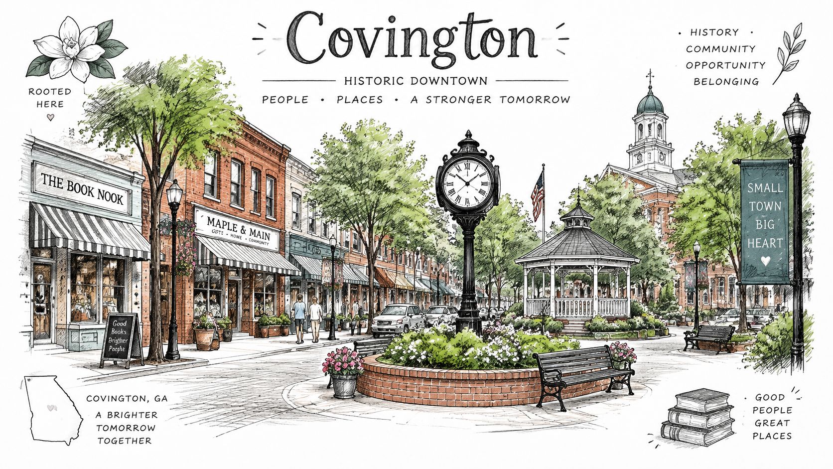
Covington's combined-crime ranking and its violent-crime rate measure different things. In a 2024 FBI-based comparison of Louisiana cities above 10,000 residents, Covington recorded 171.8 violent crimes per 100,000 residents and 1,013.7 property crimes per 100,000, based on a population of 11,641. The comparison ranked it first overall, with total crime of 1,185.5 per 100,000 and a safety score of 78 out of 100. Mandeville ranked second in that same comparison, with total crime of 1,363.7 per 100,000, a score of 75, and 1,233.4 property crimes per 100,000, based on 161 offenses among 13,053 residents. This uses a different dataset than the Mandeville violent-crime figure in Section 2, so treat the rankings as separate comparisons rather than interchangeable figures.
Covington is St. Tammany Parish's seat, with a historic downtown and healthcare and retail services that Madisonville does not offer at the same scale. Retirees may value medical access and a walkable center; families relocating from New Orleans often compare it with Mandeville. Check school attendance zones directly rather than assuming they match the city name.
Neighborhood conditions vary. Downtown and outlying subdivisions can mean different commutes and drainage risks. Check flood maps near Bogue Falaya and Tchefuncte tributaries, and compare St. Tammany property taxes alongside listing prices. Covington, Louisiana provides a starting point for comparing local categories.
7. Broussard, Louisiana
Broussard adjoins Lafayette on its east and southeast sides, making it a practical base for workers commuting into the city. Treat the local crime profile as a starting point, not a direct comparison with Lafayette: first check whether a property falls inside Broussard city limits or in unincorporated Lafayette Parish, since jurisdiction affects which agency's records and services apply.
For a specific address, verify the details before you make an offer:
- Confirm the jurisdiction: Check the parcel boundary and identify the agency responsible for police and services.
- Check storm exposure: Review flood maps, plan an evacuation route, and request an insurance quote rather than relying on a seller's reassurance.
- Verify the school zone: Subdivisions with similar names can feed different schools.
- Test the commute: Drive the route to work at your usual travel time, including access via US 90.
Broussard's local festivals can bring visitors downtown, so compare the area on an event weekend with a routine weekday. Shift workers should weigh their actual commute and storm preparations; families should confirm school assignments, while retirees may prefer to check how event traffic affects the blocks they are considering. Broussard, Louisiana keeps crime, hazard, and other category grades distinct, helping readers compare tradeoffs without relying on one overall rank.
8. Hammond, Louisiana
Hammond's safety cannot be judged from its college-town profile alone. The city sits in Tangipahoa Parish, where campus activity, older housing, and commuter traffic along I-55 shape what residents experience. No city-level crime figure is verified here, so don't treat a broad “low crime” label as a measured comparison. The Louisiana's Statistical Analysis Center explains that reported figures come through FBI Uniform Crime Reporting, LIBRS/NIBRS, and LEMIS, and coverage may vary.
Southeastern Louisiana University, healthcare, and light industry anchor the local economy. I-55 connects Hammond with Baton Rouge and New Orleans, but the corridor also brings traffic and can make a short map distance a slow commute. The historic downtown and campus area may suit university staff; families should verify Tangipahoa Parish school assignments for the specific address.
Flooding and hurricane-related weather belong in the housing check, too. Older homes can have different vulnerabilities from newer construction, and parish-level exposure does not establish whether a particular property floods. Ask for the address's flood history, review its elevation and drainage, and get an insurance quote before making an offer. For a practical comparison of Hammond's location and category grades, see Hammond, Louisiana.
9. Ruston, Louisiana
Ruston's case for a safest-cities shortlist depends on reported crime, not its college-town image. SpotCrime reports a rate referenced in the FAQ, but its figures reflect incidents reported to and collected by the service, not a complete measure of every crime or a guarantee that every neighborhood is equally safe. Check the map at block level before comparing Ruston with cities using different reporting coverage.
Louisiana Tech University anchors the campus area, while downtown Ruston sits nearby along Trenton Street, with shops, restaurants, and historic buildings. Campus-adjacent rentals and residential streets farther from the university can have different levels of foot traffic and incident exposure. Families should check the exact school assignment with Lincoln Parish; retirees should weigh that location against access to specialist care in Shreveport or Monroe.
- Compare specific blocks: Review recent incidents around the address, then visit at different times of day.
- Confirm the school zone: Verify the assigned Lincoln Parish schools directly before making an offer.
- Plan for specialty care: Include drive time to Shreveport or Monroe in the household budget and routine.
Ruston is inland, so coastal storm surge is less relevant than it is for southeast Louisiana. Severe weather remains a consideration, and buyers should check the property's flood zone and insurance requirements rather than assume inland means risk-free. Ruston, Louisiana offers a way to compare the city's location and cost factors alongside its safety profile.
10. Denham Springs, Louisiana
Denham Springs shows why a crime screen without a flood screen misleads buyers. The Livingston Parish city sits just east of Baton Rouge along Interstate 12, with family neighborhoods and comparatively low reported crime. It was also heavily damaged in the 2016 Louisiana floods. Many families came back and rebuilt to higher elevation standards. Commercial growth along I-12 has added services. Neither fact retires the water risk.
New Orleans emergency guidance states plainly that climate and topography make flooding a reality and that some areas flood more readily than others. The same logic applies east of Baton Rouge. A suburb can post a calmer crime sheet and still be a poor fit if the parcel sits low, the evacuation route clogs, or the insurer prices the history.
The parish's own mitigation story is worth watching before you treat a rebuilt street as finished.
- Demand the certificate: Elevation and flood-zone status should be in hand before the inspection, not after.
- Quote insurance early: Premiums move with zone and elevation, and a late quote can kill the payment.
- Ask what the parish built: Drainage and mitigation projects differ by neighborhood.
For a regional frame, safest places to live in the South keeps Louisiana from becoming the only comparison. Then read Denham Springs, Louisiana with hazard and crime grades left unmerged.
Parish, Commute Corridor, Main Risk Flag, and Best Fit for Each Safe Louisiana City
Crime rankings are only one part of a relocation decision. Parish boundaries and reporting practices affect how city crime figures are counted, while flood, hurricane, and storm-surge exposure can vary by neighborhood. Use the route and risk notes below to compare practical trade-offs, then check the specific address and commute.
| Item | Parish | Key Commute Route | Main Risk Flag | Best For |
|---|---|---|---|---|
| Madisonville, Louisiana | St. Tammany Parish | LA-22 or Highway 190 to I-12 toward New Orleans | River flooding and limited local services | Quiet riverfront living and outdoor recreation |
| Mandeville, Louisiana | St. Tammany Parish | Causeway or I-12 to New Orleans | Lakefront storm surge and Causeway delays | Families seeking schools, parks, and suburban space |
| Youngsville, Louisiana | Lafayette Parish | I-49 and Highway 90 to Lafayette | Growth-related road and school strain | Families seeking newer homes near Lafayette |
| Gonzales, Louisiana | Ascension Parish | I-10 and Airline Highway | Peak-hour congestion and localized flooding | Capital Region workers and families |
| Zachary, Louisiana | East Baton Rouge Parish | Highway 19 and I-110 to Baton Rouge | Rush-hour commutes and older-home upkeep | Families seeking quieter neighborhoods and strong schools |
| Covington, Louisiana | St. Tammany Parish | I-12 and Highway 190 | Peak traffic and flooding in low-lying areas | Retirees and families seeking services and a walkable downtown |
| Broussard, Louisiana | Lafayette Parish | Major highways to Lafayette | Flood and hurricane exposure | Acadiana workers seeking community and relative affordability |
| Hammond, Louisiana | Tangipahoa Parish | I-55 to Baton Rouge or New Orleans | Commuter traffic and older housing | University staff and healthcare workers |
| Ruston, Louisiana | Lincoln Parish | Local routes near Louisiana Tech | Distance from specialty medical care and major metros | Students, university employees, and budget-conscious residents |
| Denham Springs, Louisiana | Livingston Parish | I-12 to Baton Rouge | Significant flood history | Families seeking affordability and Baton Rouge access |
Treat these commute routes as starting points, not guarantees of travel time. Check the route from the specific home at the hours you would drive, and review parish or city crime reporting boundaries before comparing figures across places. A citywide crime rate may not describe every neighborhood, just as a parish-level flood map cannot settle the risk for an individual parcel. For families, school access and daily road conditions may shape the fit; retirees may weigh services and access to specialty care more heavily.
Turning a Safe Shortlist Into a Move You Can Defend
Choose by testing the route and costs you will live with, not by treating a crime grade as a verdict. Families can start with the school boundary for a specific address, then compare the weekday drive along each city's main commute corridor. Check the district's zoning map and run the route at school-hour traffic times. Before favoring a newer subdivision, add its HOA dues to the monthly housing budget.
Retirees can first map the drive from each candidate address to the specialty care they expect to use, then compare flood and hurricane exposure for the property itself. Ask an insurer for a quote before making an offer. A citywide hazard label cannot show whether a particular home sits in a low-lying area.
The 2025 ranking limited to 37 Louisiana cities of at least 5,000 residents provides one comparison of reported crime rates. Keep that measure separate from hazard exposure and practical fit. ReloMaps can help compare crime and disaster grades side by side. For reporting gaps, see the FAQ's checks on zero-rate reporting, small-town cutoffs, and submission coverage.
Frequently Asked Questions
Does a zero violent-crime rate in a larger Louisiana city mean crime is absent?
No. A reported rate of 0.0 per 100,000 may reflect how incidents were filed, not an absence of crime. One 2025 FBI-data table reports Central at that rate, with a population of 30,312. The same table lists Mandeville at 138.4 (13,010 residents), Broussard at 202.7 (15,790), Slidell at 267.7 (28,393), and Ruston at 286.0 (22,374), in the SpotCrime Louisiana grade table.
Those Mandeville figures differ from the 130.2 rate and 13,053 population cited in the Covington section for a 2024 set. They are separate figures from different year/source sets, not a like-for-like comparison. Check the year, source, and reporting agency before comparing city rates. Ask whether the agency submitted complete records, and review multiple years rather than relying on a single zero.
How much can including towns under 10,000 residents change a safety ranking?
It can change which towns top the list. A 2024 compilation that included smaller towns put Haughton at 45.4 violent crimes per 100,000 residents, with 4,401 residents and property crime of 204.5. That violent-crime rate was about 89% below the statewide average of 410. Rayne recorded 72.4 per 100,000 across 6,910 residents, about 82% below that same statewide violent-crime average of 410. The statewide property-crime average was 1,772.7, according to PlainCrime's Louisiana crime grades. With a 10,000-resident cutoff, exclude smaller towns even when their rates are low, since a small number of cases can shift the rate sharply.
What reporting gap should you check before trusting a big-city crime drop?
Check monthly submissions, not just the headline rank. A 2025 inspector general review found New Orleans police averaged 182 incidents per month in Louisiana's incident-based system in 2023, compared with about 2,376 from Baton Rouge. FBI data listed 23,498 violent and property crimes in New Orleans that year, according to the LIBRS review letter. Treat comparisons across the November 2025 records-system rollout as a break in the series, rather than a clean before-and-after.
ReloMaps combines crime, cost, and disaster exposure in a ReloScore and category grades. Filter U.S. cities by family fit, commute, and hazard proximity, then check a city page before booking a tour at ReloMaps.
Enjoying the blog? Subscribe to ReloMaps+ for premium area intelligence — and to keep us independent.
Subscribe today